CUENCA, ECUADOR

I decided to make Cuenca my last full stop in Ecuador. My three-month visa was running out and I only heard wonderful things about this city. I had reserved a night at a hostal (a small hotel not to be confused with a hostel) made up of studio apts, but upon arrival found it too cold both aesthetically and physically so I spent that afternoon looking for another place to settle in for the week.

I found a lovely converted colonial house-yes, another one- to call home. The room cozy and warm overlooked an interior courtyard. One afternoon I was guided through the garden in the back by the long time housekeeper Teresa.  There were papaya, fig, avocado trees and so much more. Caged parakeets sang in the discordant way they do while the free birds fluttered around singing harmoniously. Sonia, the hostal owner’s mother, lived next door. Now in her eighties and recently widowed she had time to show me old photographs, heirlooms and her immaculate three story home. She spoke of a time that women stayed home with their children-she had eight. When I inquired if she might have liked to have a career- her daughters were lawyers. She said it had never occurred to her. “In those days children were not left alone to grow up to be criminals.”
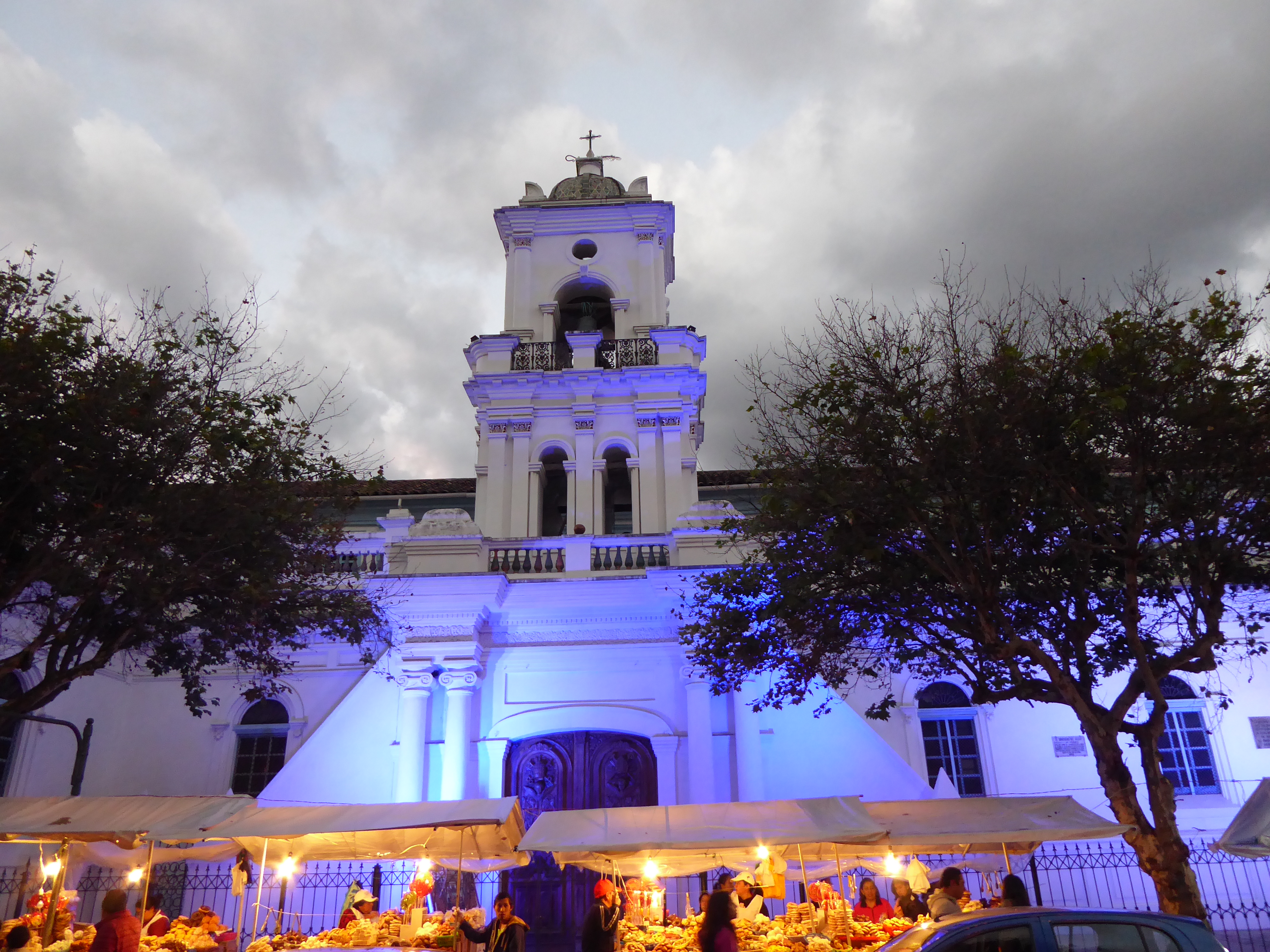
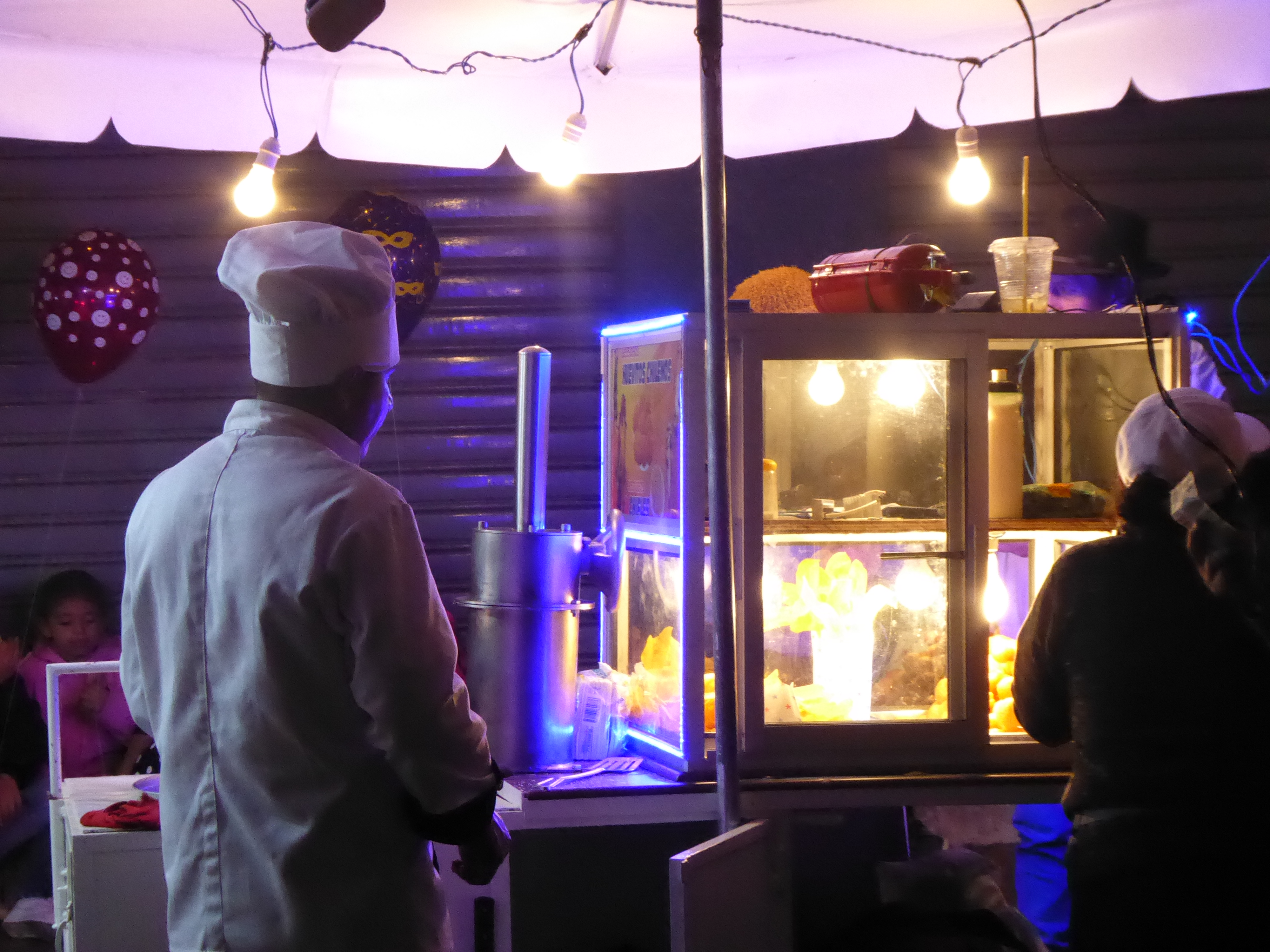
The center of Cuenca was animated, but pleasant and having arrived at the beginning of the Corpus Christi festivities, I saw one stall after another line the streets overflowing with baked goods and candies. Women wearing white aprons and caps worked the stalls and most seemed to have sampled a fair share of their goods. Nighttime would bring food stalls and fireworks.
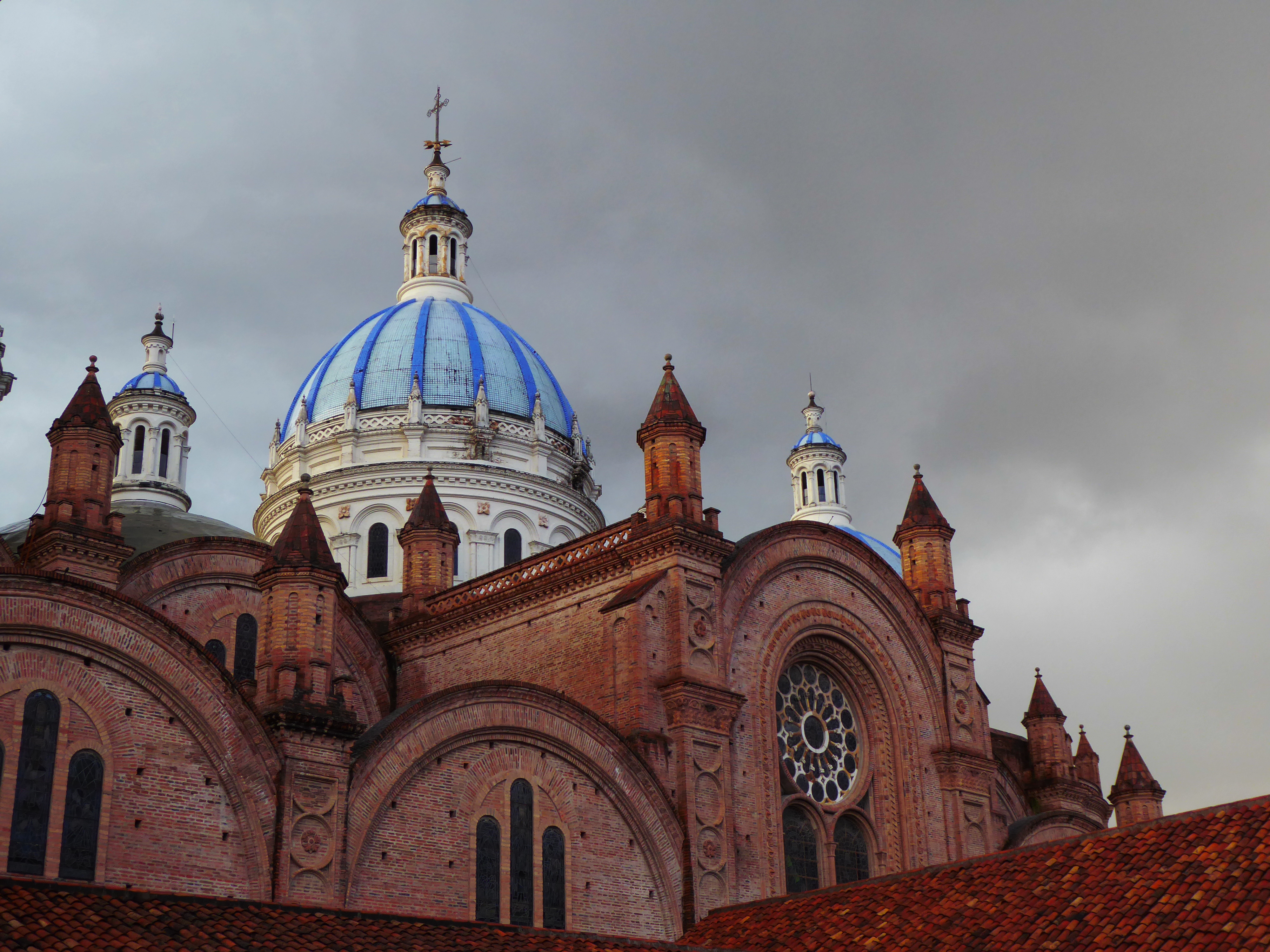
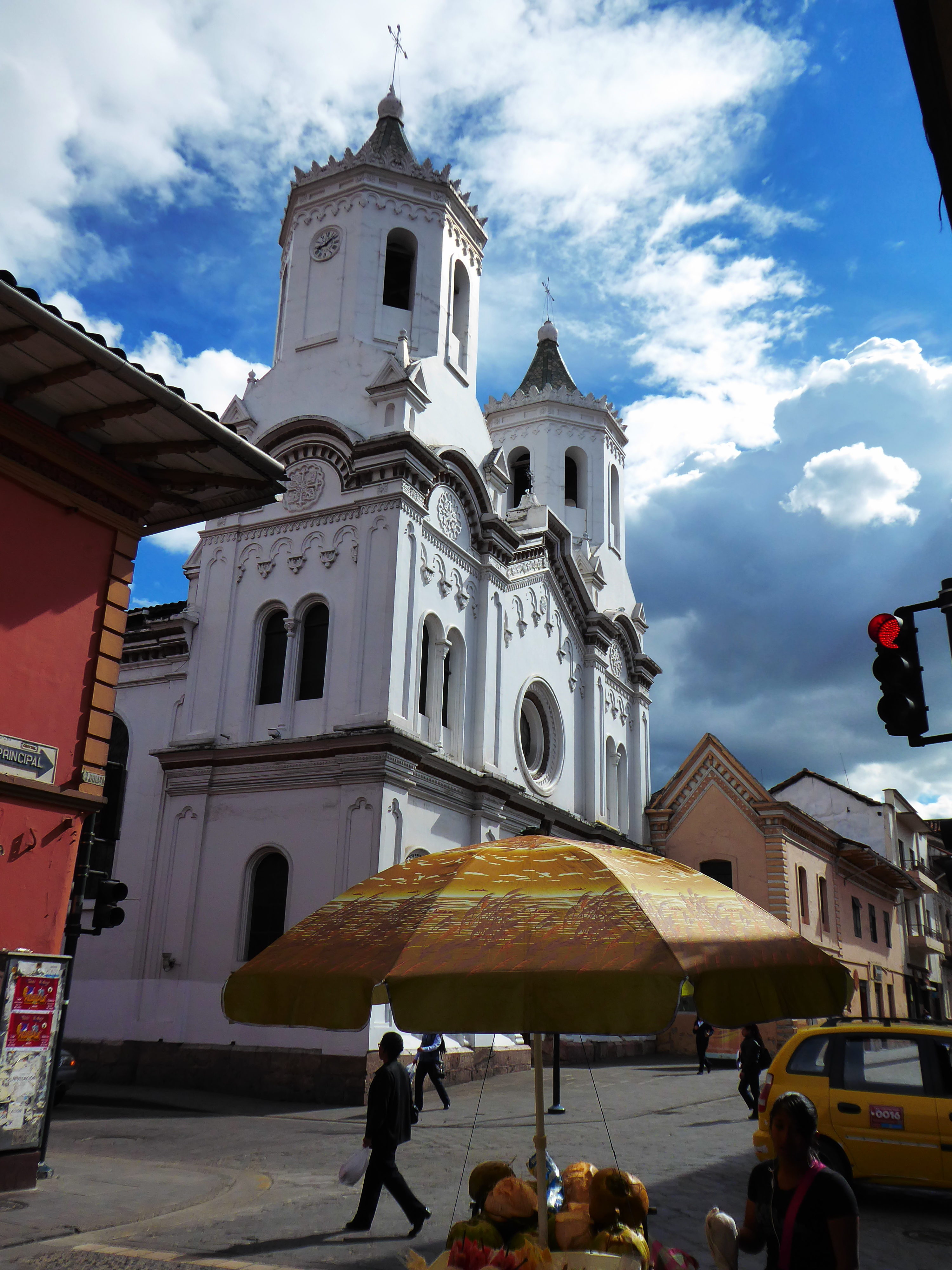
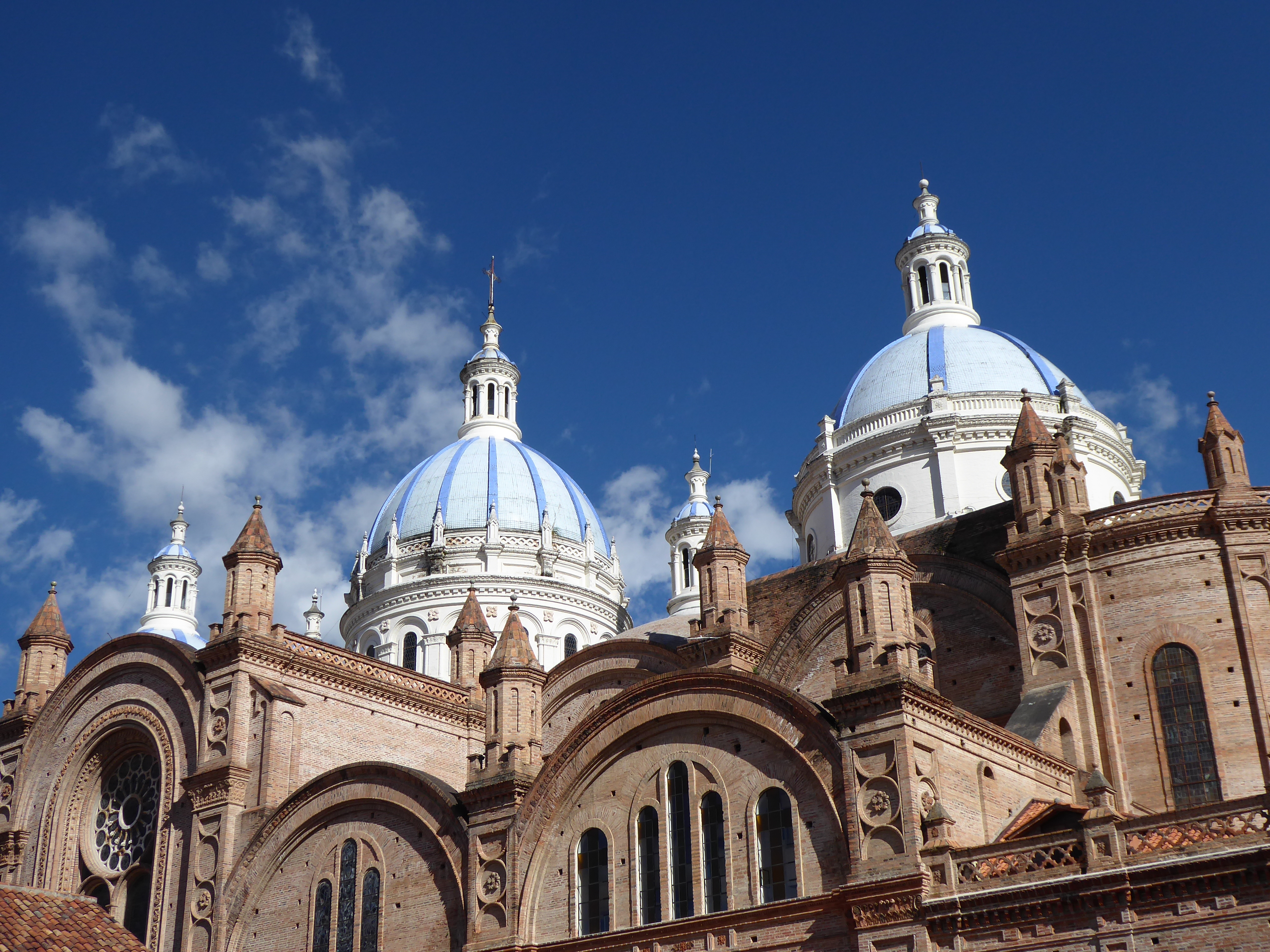
The main church with its stunning blue domes was the center of the activities, but the other churches-picturesque and seemingly on every block- were engaged too.
There is a large expat community in Cuenca. Quality of life is high and prices are low-although not as low as in other parts of the country. A fair percentage of these foreigners, many Americans, get by without learning Spanish adhering to the gringo establishments and social circles. From what I could tell the two worlds coexist amicably. For me it was nice to meander from the local market  and  shops to  an upscale restaurant for lunch or enjoy the terrace of  a Belgian bistro for a beer.
Wandering into the sparse Modern Art Museum, I met Robert an exuberant New York born, California based,  singer. He was working on a Frank Sinatra  tribute incorporating the talents of the neighborhood children. He had engaging anecdotes of Bob Dylan, David Bowie-once removed-and direct contact with Woody Allen and Keith Haring. He was chatting with Patricia from Cuenca who worked at the museum and soon we were all conversing like old friends. Patricia introduced me to the director of a Spanish language school where I worked with Monica, an enthusiastic and kind teacher,  reviewing verb tenses and conjugations for four days.
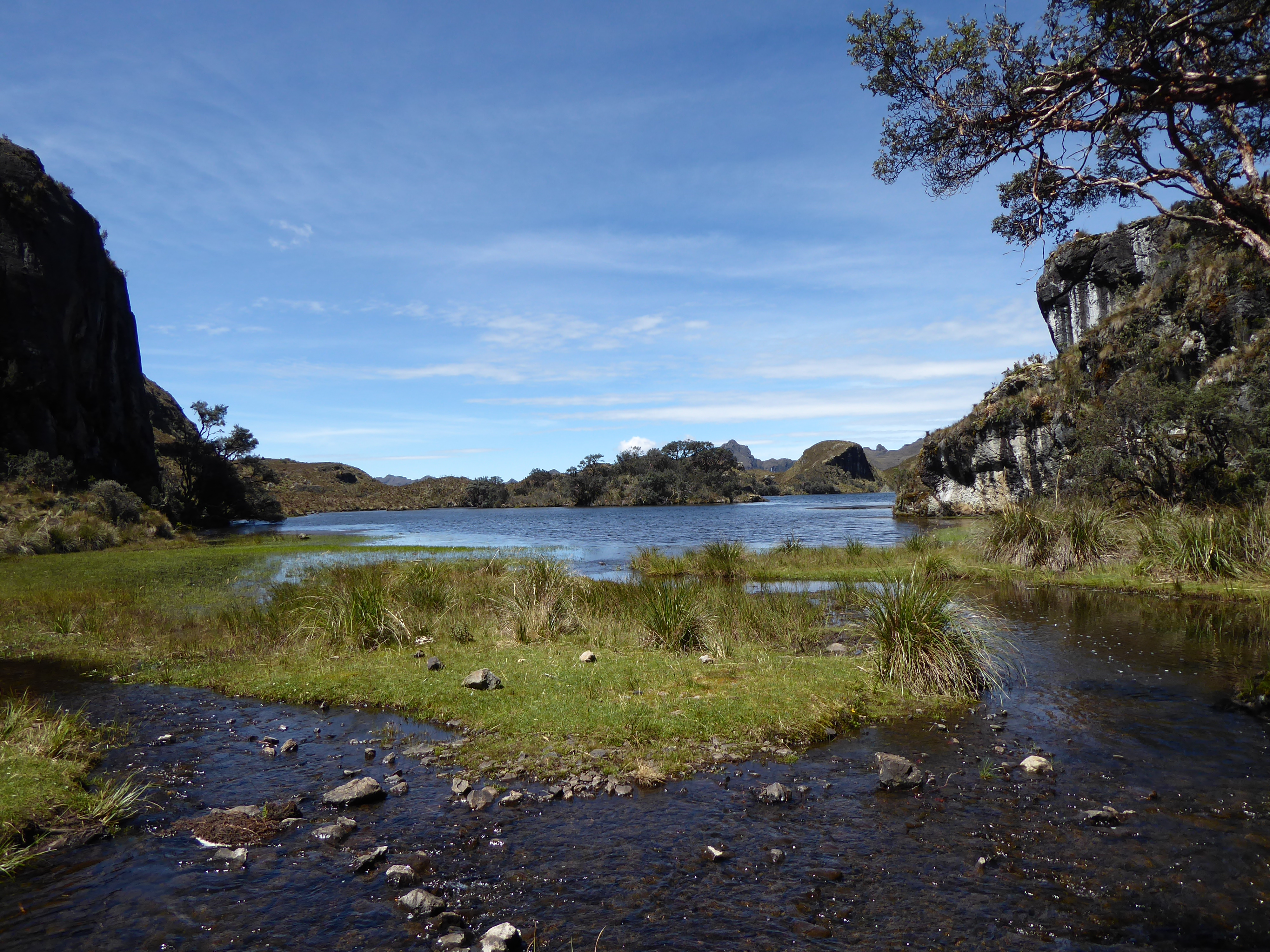
I found time to visit a tiny portion of El Cajas, a gorgeous national park with pristine lakes and landscape thirty minutes from town. Waiting for the bus, a vendor of homemade coconut sweets asked me where I was from. After sharing a few moments of our time he kindly offered me three of his sweets- I accepted one. It was delicious. He soon boarded the next bus to hawk his goods.

Getting to the park required taking one bus then another, but I wasn’t sure where to make the change. My inquiries on the first bus was overheard by a man getting off where I needed to. He offered to assist me. Moments later he signaled for me to get off and we descended. A bus was approaching. He whistled and the bus stopped. He walked away and I hopped aboard.

I noticed sitting across from me a deaf man speaking to his companion with his hands. He asked his friend to close the window with the universal gesture that he was cold. Our eyes met and soon he and I were conversing too. He showed me where it was good to fish and that the fish  were good to eat. That we’d be arriving soon and that it was a great place to hike, although there were hills, and to take lots of photos. When I arrived we said our good byes. All without saying a word.
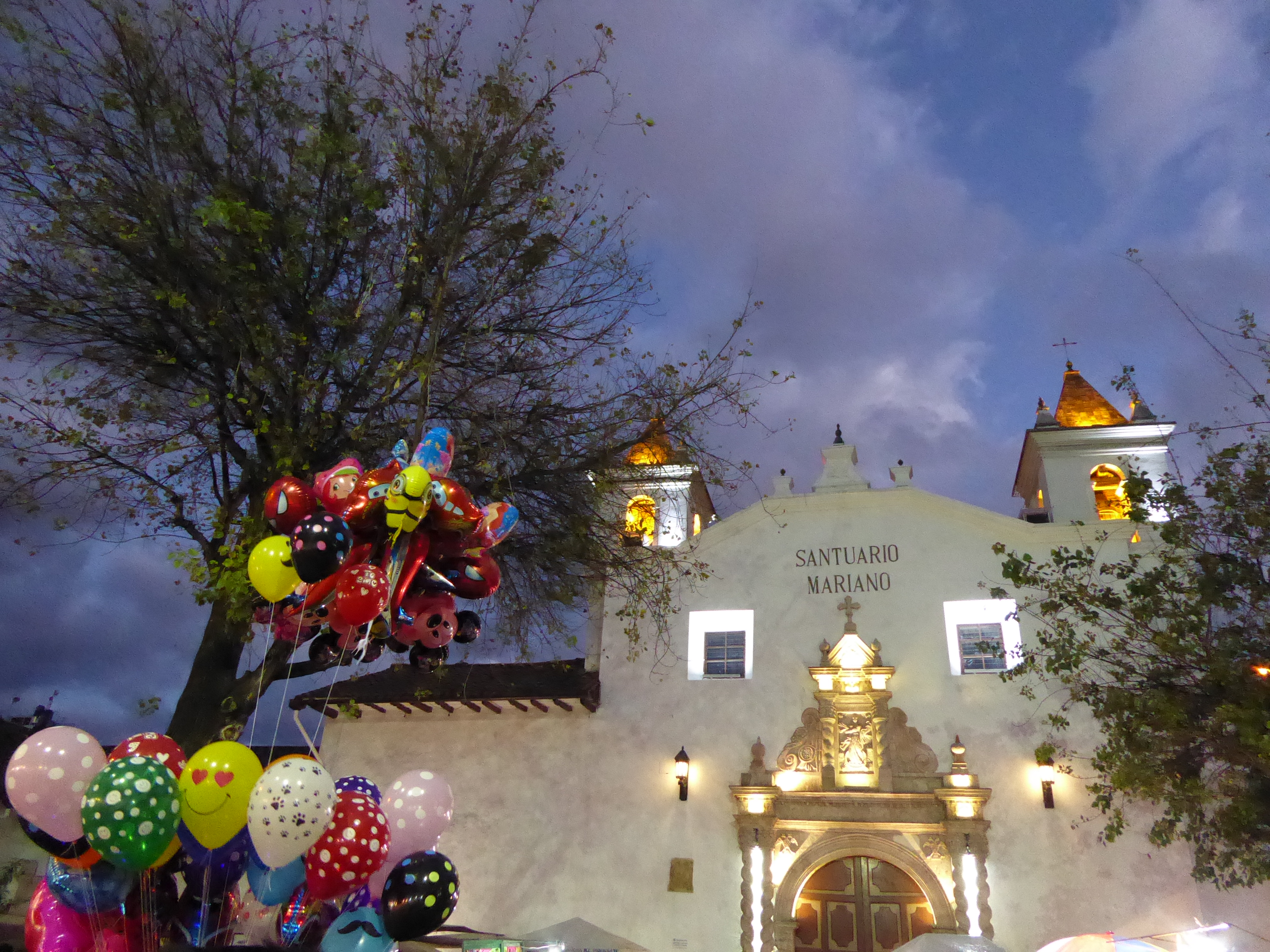
I met Valentin who was from Ecuador but had been living in the US the past thirty years. He made and sold “Panama” hats: the stylish head toppers from Ecuador made from straw. They can be exquisite works of art. He was visiting his old friend Sonia, the hostal owner-named after her mother. He showed me his hat made from beaver fur mixed with just the right percentage of rabbit fur-it looked like neither. It was stunning. His market was hats of high quality that sold for thousands of dollars. His clients were Texas oil men and celebrities. I enjoyed my time in Cuenca, but it was time to move on.
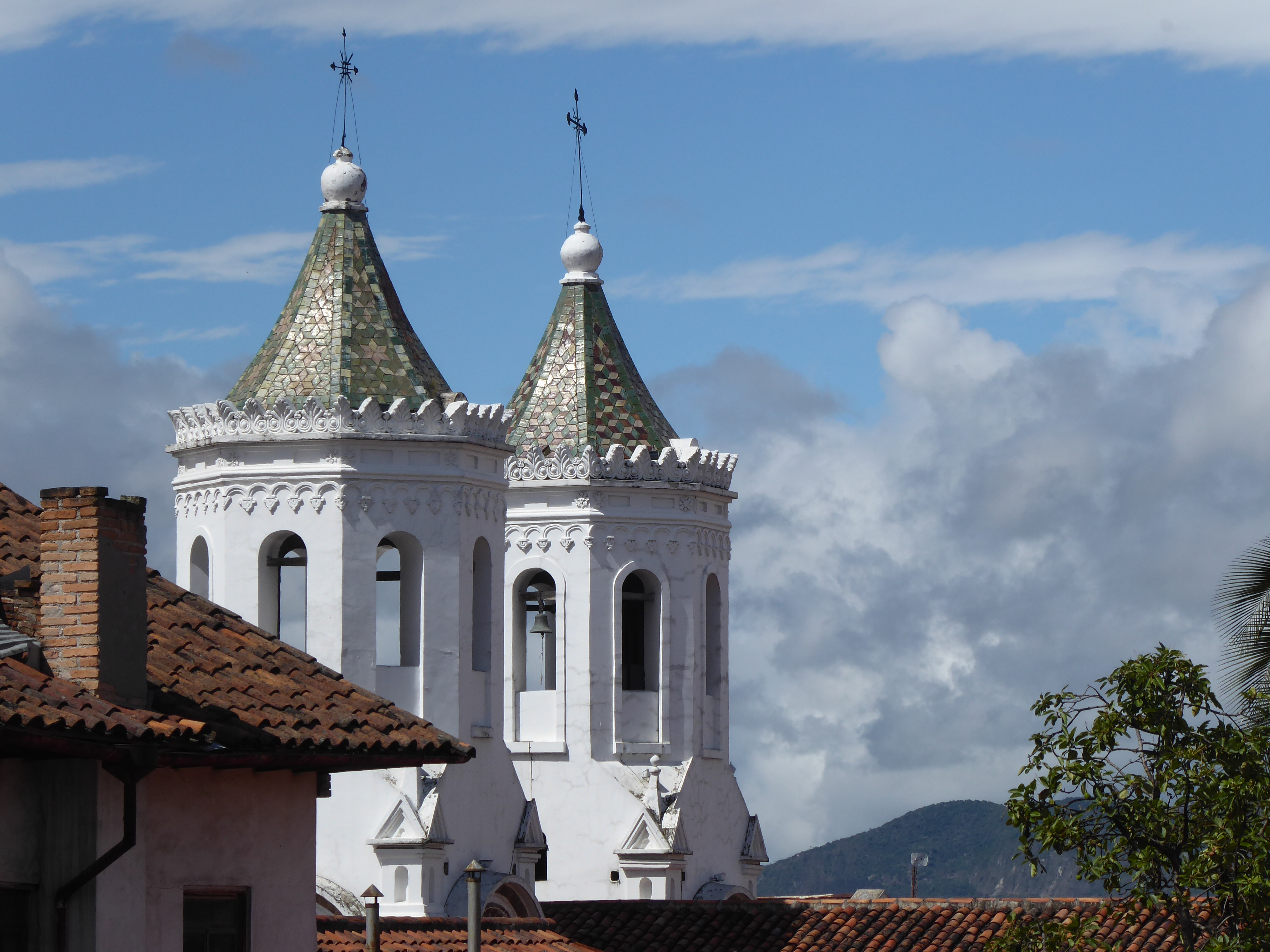
I booked a flight back to Quito-forty-five minutes-instead of the twelve hour bus ride.
GUAYAQUIL, ECUADOR

Guayaquil was not on my list of cities to visit. On the contrary I had planned to purposefully avoid it. It’s reputation as a crime ridden, hot and muggy, tropical city held no appeal for me. I was surprised to see it listed as a “Top site in Ecuador.” I went there reluctantly to break up the long trip from Canoa to Cuenca.

From Canoa to Guayaquil took six hours, passing through miles of banana plantations-reminding me of the banana republic moniker. The Guayquil main bus terminal was surprisingly modern: a large bright structure with shopping mall. I asked one of the many security personnel walking around for an ATM: he offered to escort me while I withdrew my funds. I accepted the offer. The taxi stand was managed by a woman in cap and uniform. She asked where I was going, led me to an available cab and told me the fare to the city center.

The taxi driver was gracious and helped me with my bag.  A pleasant breeze was blowing and there was little humidity in the air. We were soon at the Manso Guesthouse: a converted three story colonial home.  The hostal had received mostly positive reviews and it was right on Malecón 2000-the pride of the city.  Like many old residences here there were many stairs to climb and the ceilings were impossibly high. The decor was tasteful and the common areas were huge. The manager showed me the available rooms warning me about noise in the front rooms, but the bright spacious bedroom overlooking the malecón was worth the potential annoyance.

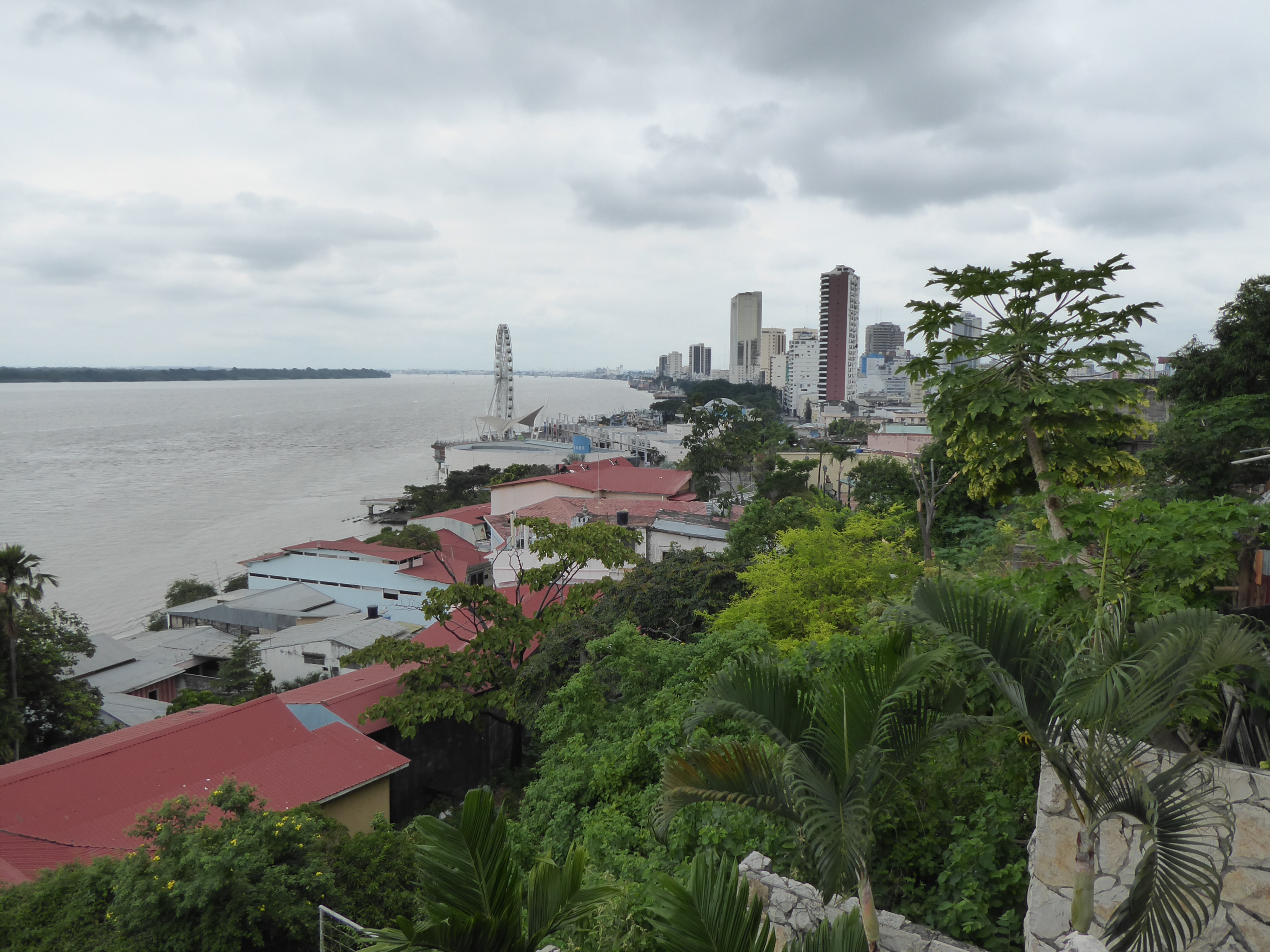
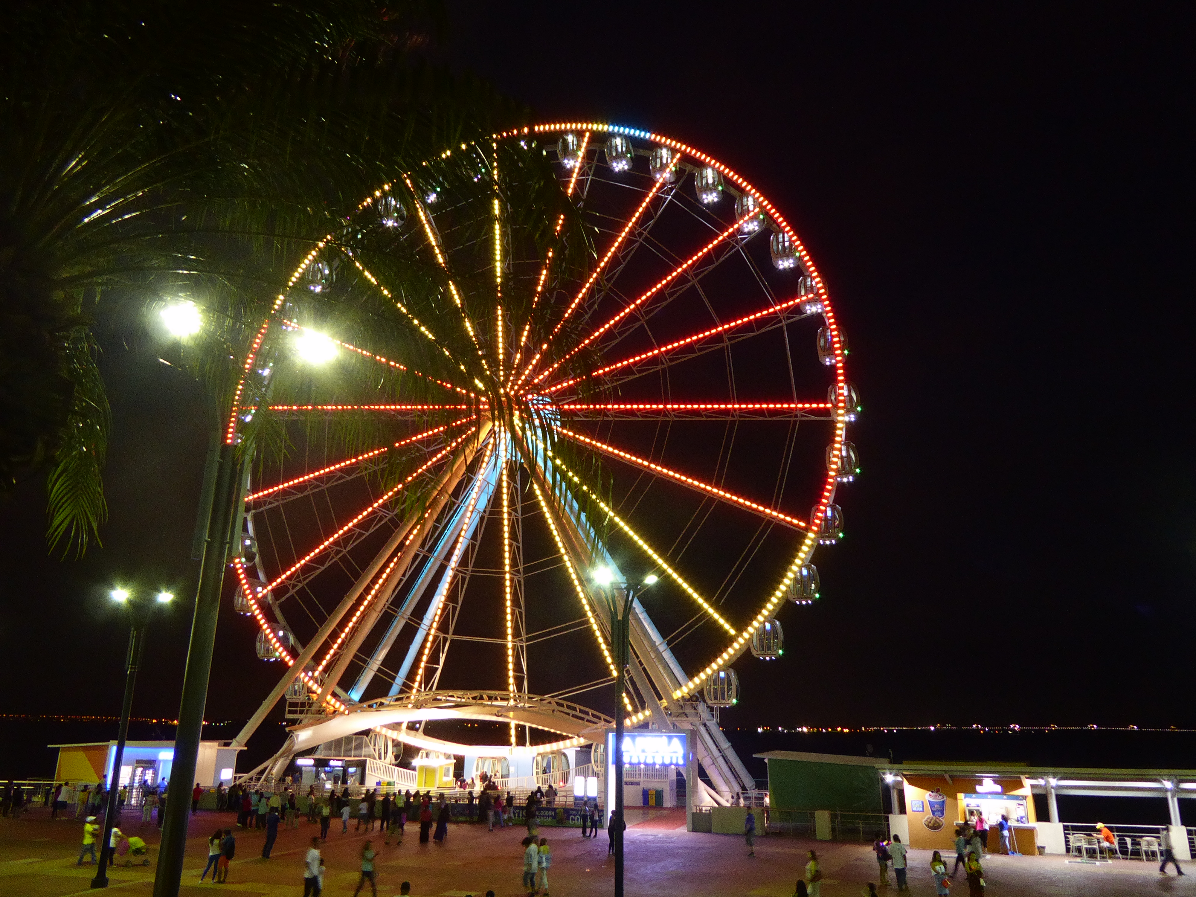
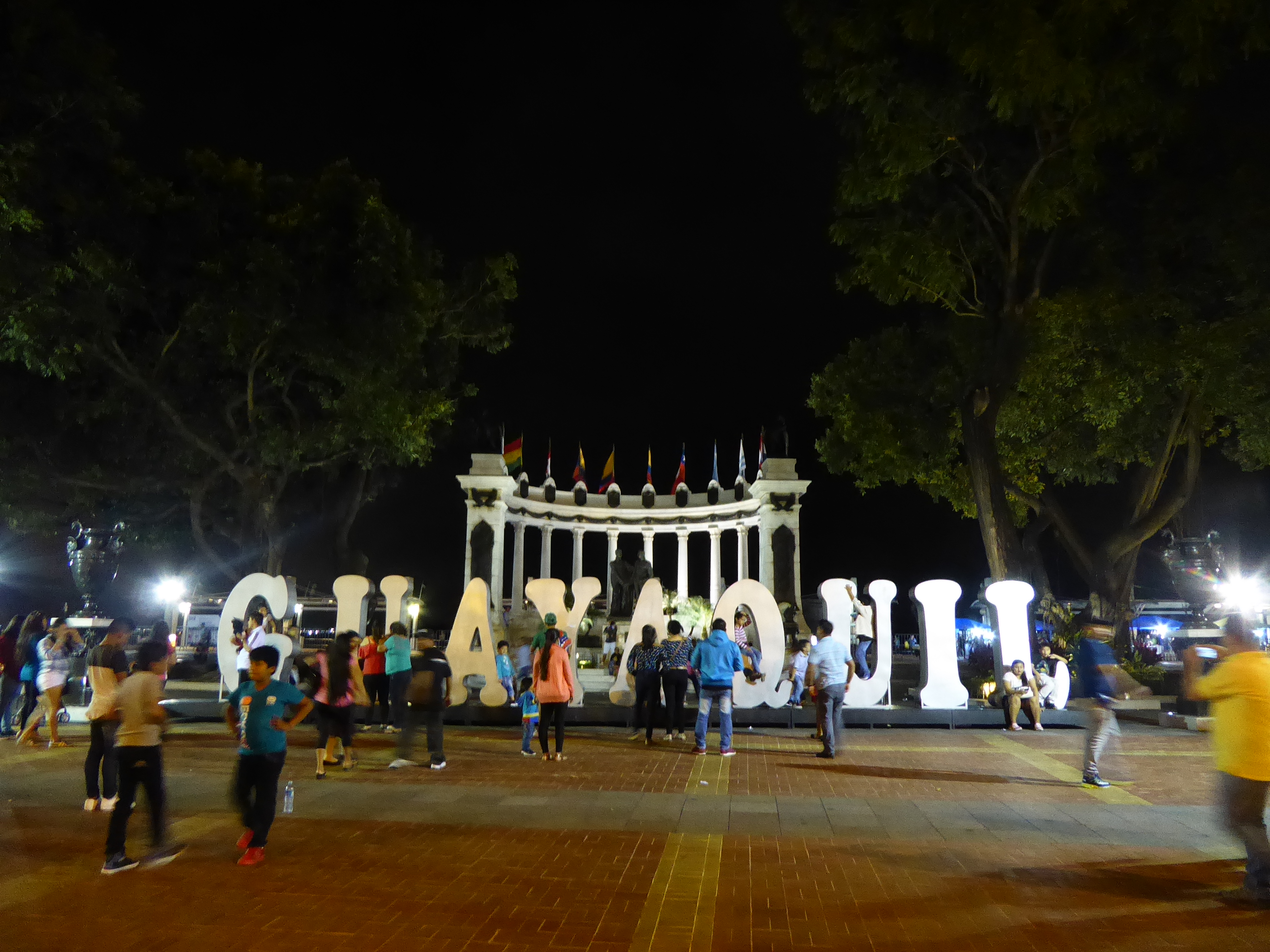
The Malecón 2000 walkway/park runs along the Rio Guayas. The river is wide and murky, but provides an impressive backdrop for a picturesque promenade with restaurants, cafes, gardens, cinema, buskers, shops and amusement park.

Although it was soon night-the sun sets around 6pm year round-the malecón was crowded with couples, families, individuals, groups of friends strolling along, laughing at the antics of the performers, or stopping for refreshments. Once again the presence of security personnel was pronounced, but the ambiance was relaxed-except between certain vendors, who were apparently violating their designated areas, and the security. I spent a few pleasant hours strolling and taking it all in.

The noise from the traffic outside my window did not disturb my sleep.

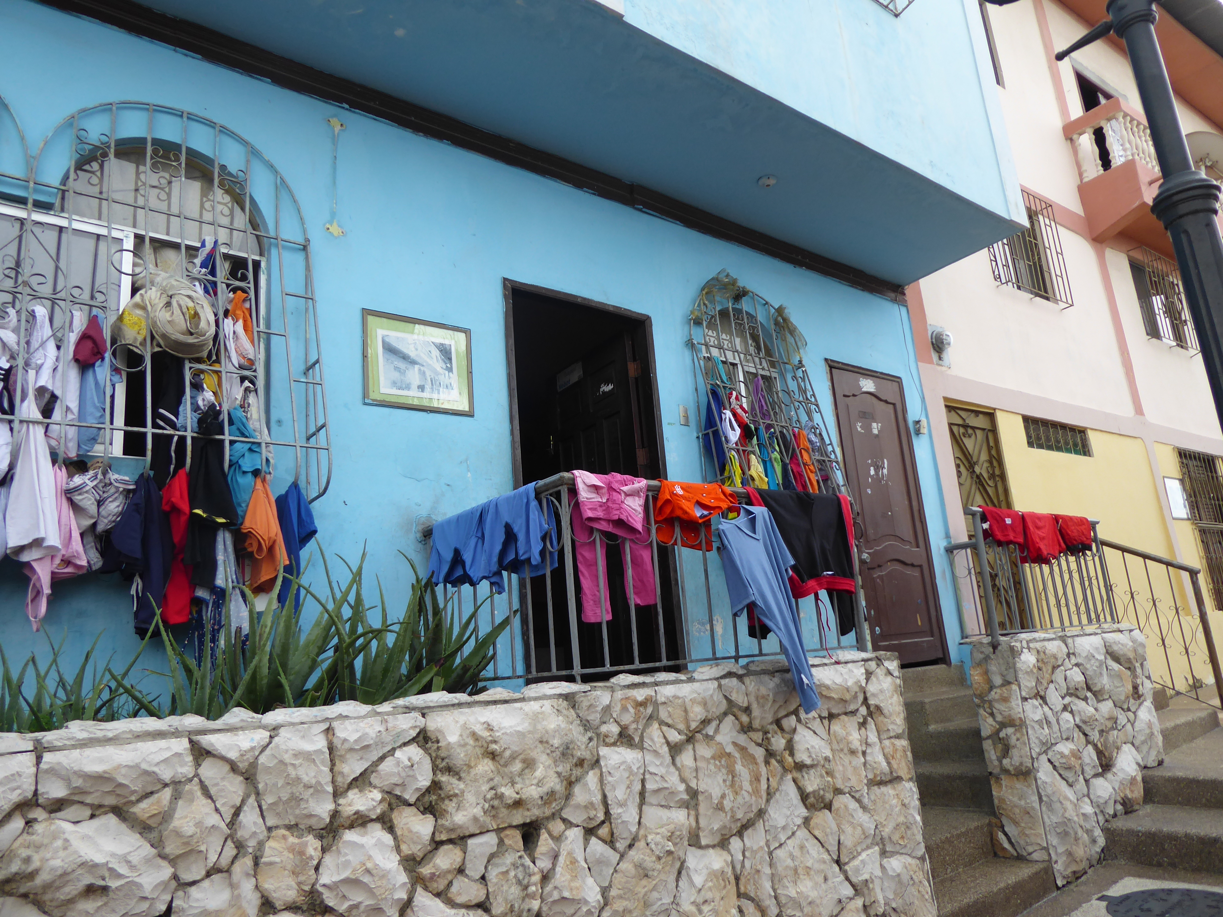
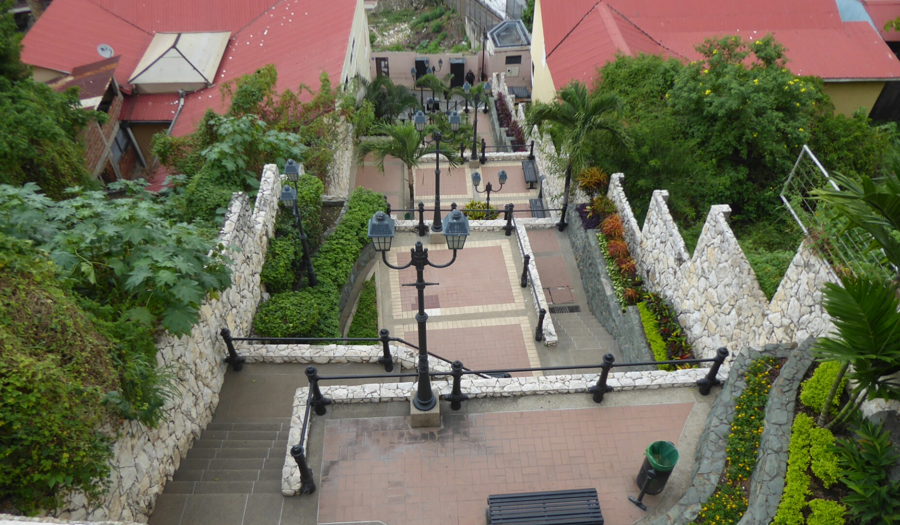
The following day I walked over to Las Peñas which lies at one end of the Malecón. It is a colorful hilltop community with a wide range of architecture. Near the bottom lie restored mansions and modern hotels. The further one walks up the smaller and poorer the homes become-reminiscent of Brazil’s favelas. Although unthinkable for a non-resident to walk here ten years ago, it is now a popular tourist destination. Numerous security and police are posted along the pleasant narrow streets all the way to a lighthouse at the top.

Uniformed men with guns might be disarming if they weren’t all welcoming me with a wide smile and “Bienvenidos” as I neared. Although much of Las Peñas is still off limits-private and reserved for residents a.k.a unsafe for outsiders, the numerous shops and restaurants-not Disneyesque-brings locals an influx of dollars and tourists a delightful destination.

The transformation of the city with increased safety, parks and sites is undoubtedly providing an improved quality of life. Perhaps in time less security will be needed to aid in the transformation.

And so I spent two very unexpectedly enjoyable, relaxed days, in Guayquil.

THE COAST: Mompiche

Mompiche lies four hours north by bus of Canoa- people speak in time because distances might be short, but travel time rarely is. It is deemed by some to be the quintessential fishing village of Ecuador- “a must see”.

I returned to Perdenales to change buses for Mompiche. Perdenales, a small city, was the epicenter of the earthquake in 2016, but never having been there, it was difficult to know if the vacant lots had been something else. The town was thriving. It was Sunday-market day-and the streets were crowded with sellers and shoppers.

A few hours later the bus stopped at the turn off from the highway to Mompiche. I needed to take a taxi 5km to the town. Two taxis were there: the drivers were reclining beneath a simple concrete shelter shielding themselves from the harsh sun.

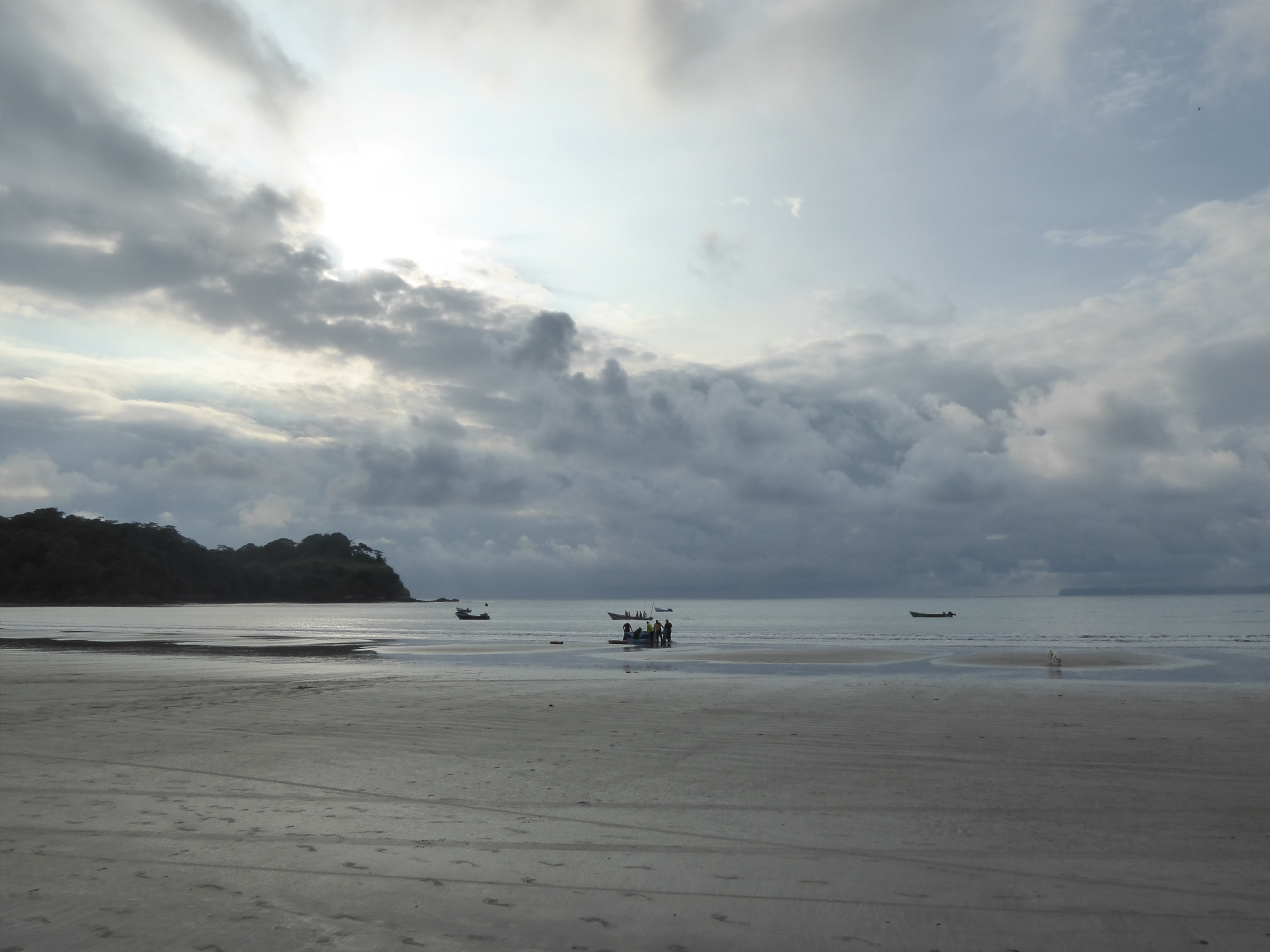
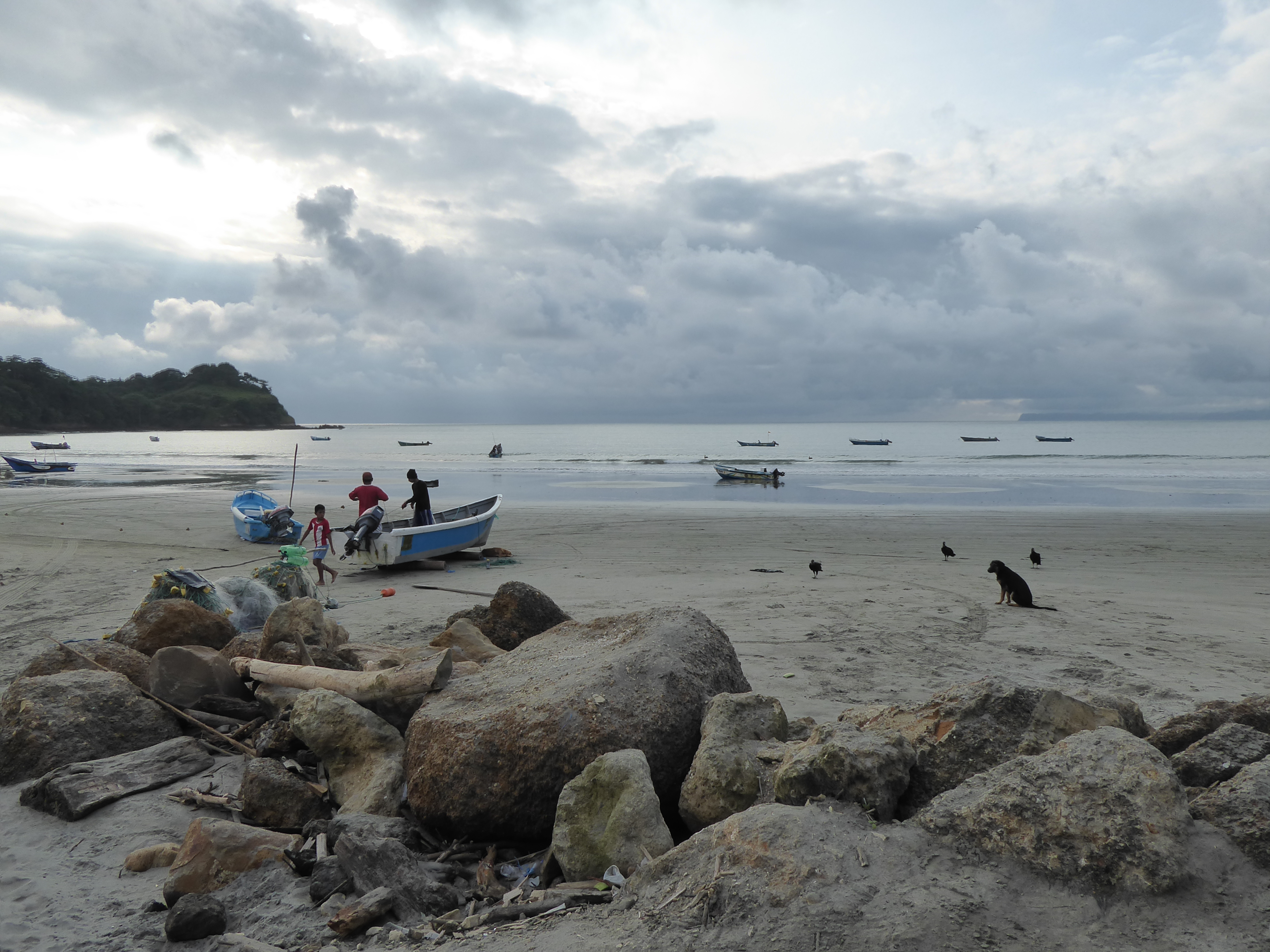
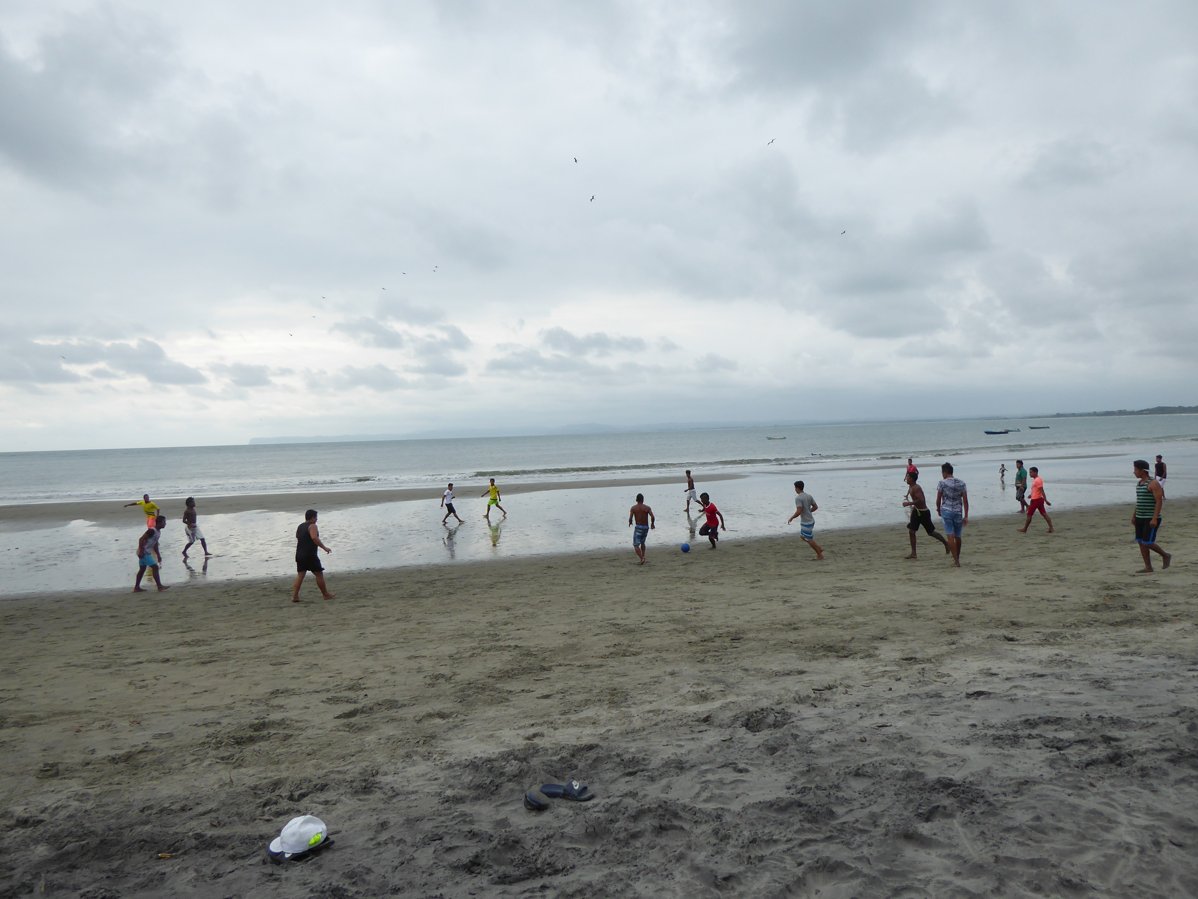
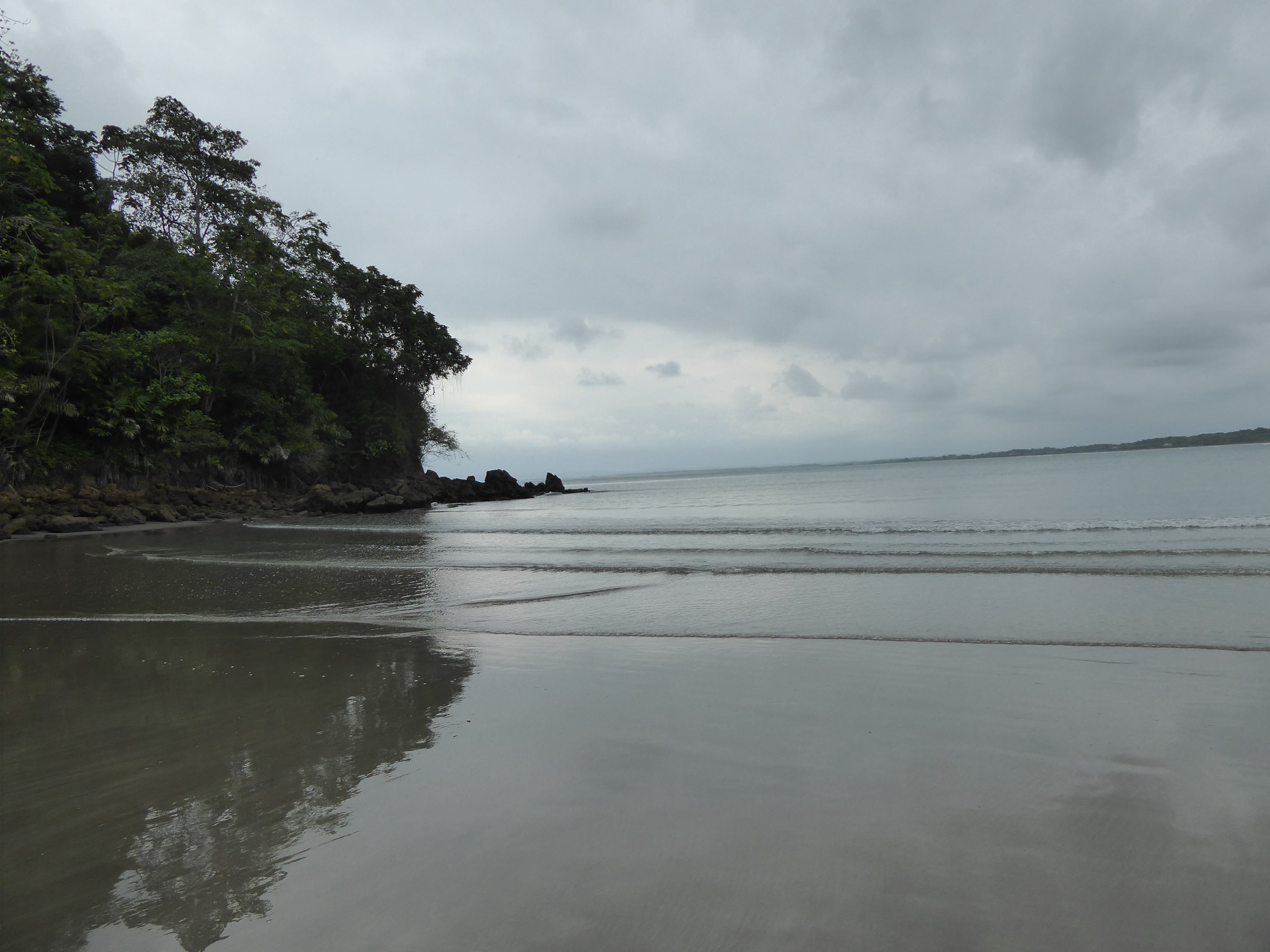
Mompiche is indeed a charming, tiny, tourist/fishing town. The beach is wide and long. Boats come and go from sea to shore. The restaurants offer local seafood, pizza, and other gringo fare. Men engage in futball and volleyball on the beach.

But beyond the facade of this engaging coastal town is poverty: dwellings are mostly shanties. Roads were rutted and muddy with deep puddles. It took concentration to navigate through them-locals walked in high rubber boots or barefoot. Yet this poverty is not one of homelessness nor hunger. Food is abundant and life, although simple, seems full with family and friendship. Older children wear crisp school uniforms and younger children play freely and gleefully.

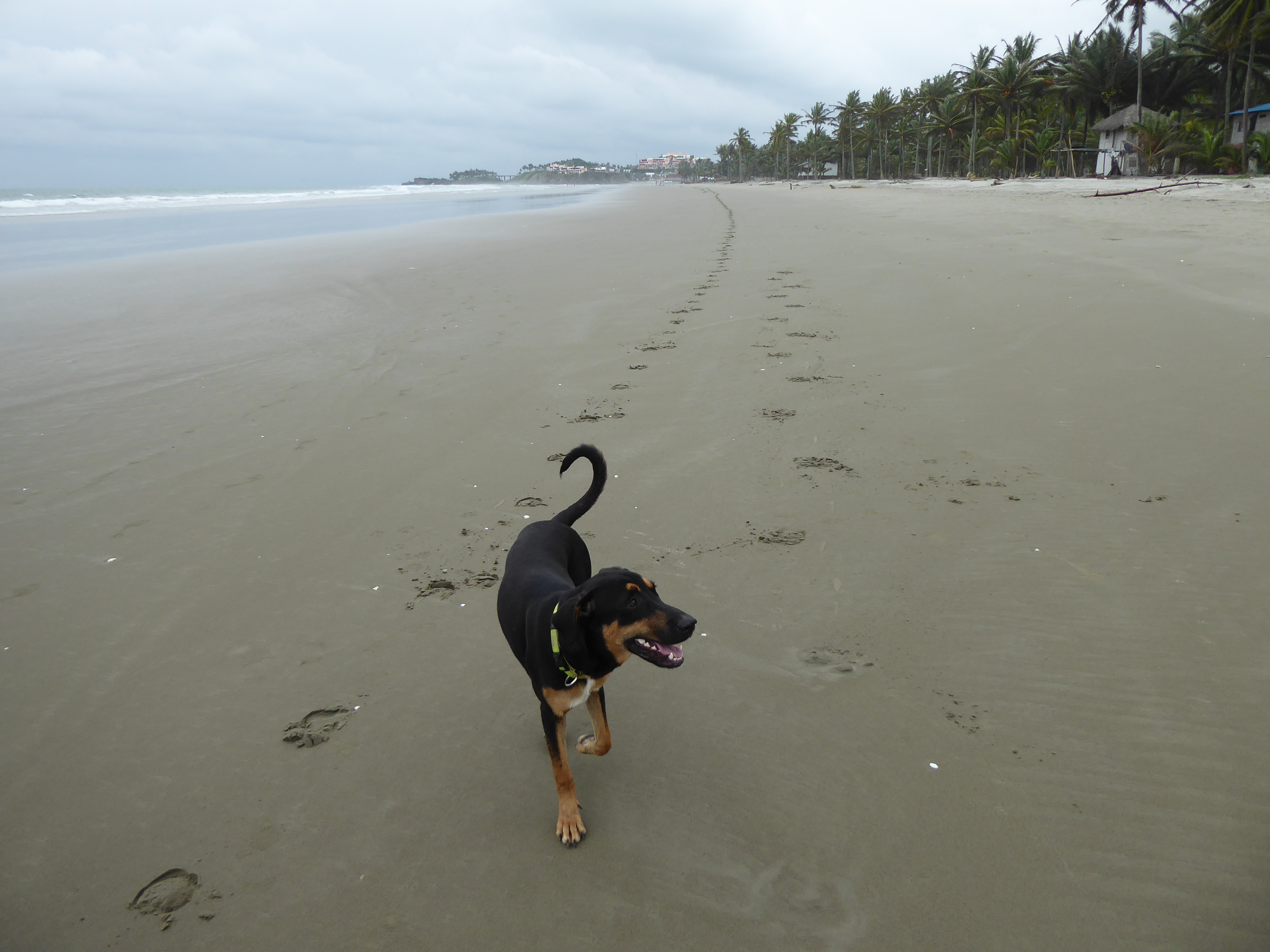
I found a small bungalow on the beach. The owner’s dog Boa and I hit it off immediately and we took great walks together.
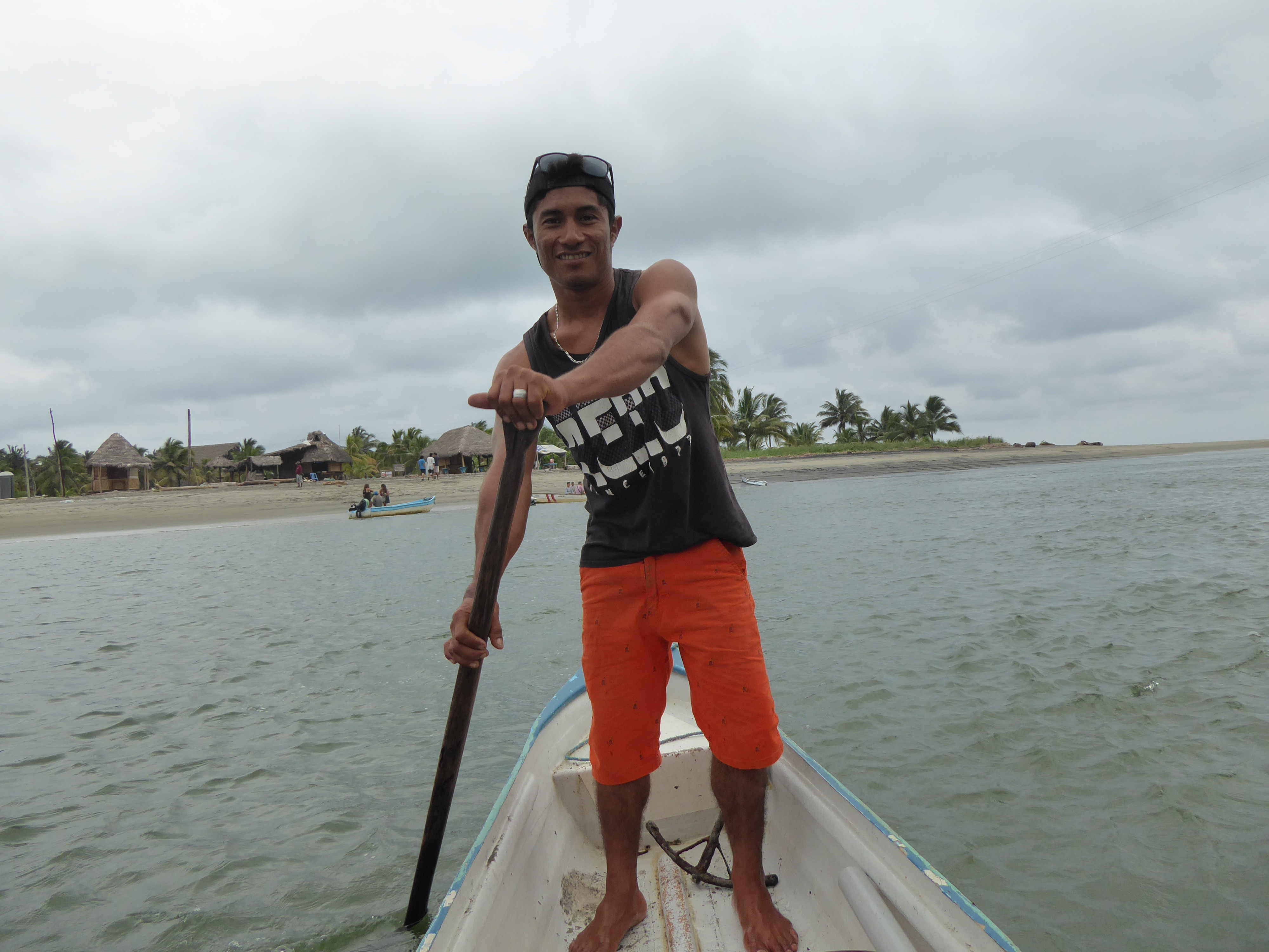
One day we visited Isla Portete, a tiny island of mangroves and a palm tree lined beach. It required a short boat ride to get there. Before leaving I bought a fresh coconut to quench my thirst and got a bowl of water for Boa. While enjoying the juice, sitting beneath palm fronds on a wooden bench, and watching Boa and the resident cat play tag, the seller and I began chatting. We exchanged the usual introductions: where we were from, work-he told me about the scar on one hand from a badly poised knife, but not the burn scar on the other-and soon after I was giving him an English lesson. We developed a list of sentences he could use in his business encounters.

He thanked me by personally taking Boa and I back to the mainland in his canoe. He, like other people in the provinces, did not get much more than a basic education.

Those working with tourists are pleased to learn some English-the lingua franca of the world. The following evening “Gringa” was used to get my attention from a woman selling fruit from her truck. I laughed and told her my name. Our conversation led to my sitting down with her sixteen year old daughter to help her prepare for an English test the following day.

I enjoyed my time and my adventures with Boa, but after three nights in Mompiche I returned to Canoa to finish up my ten days on the coast.

THE COAST: Canoa

Having traveled through Ecuador with the risk of mudslides, gaping roadways, and erupting volcanoes I headed toward the coast to relax.

It took four different buses, some roadside drop-offs and pick-ups, and nine hours from Latacunga by way of Santo Domingo and Perdenales to Canoa. The ride was punctuated with vendors selling jewelry, fresh baked bread, bowls of chicken and fries, fruit, water, juices, ice cream, and body lotions. Certain vendors offered lengthy promotions of their elixirs-the snake oil salesmen of today.

Bus terminals were welcome offering me a quick bathroom break. Changing of buses went smoothly. Bus attendants ensured the loading of luggage, packages, and passengers.

The road to the coast offered spectacular views. I was leaving arid hills groomed with green fields and entering miles of lush tropical rainforests.

To descend thousands of meters required numerous tight switchbacks and deft driving. The bus driver possessed such capabilities and seemed pressed for time, frequently passing cars and trucks despite the limited visibility. The precipitous drops were without guardrails leaving my view of the gorgeous greenery unobstructed. Passengers showed no concern of the driving or the road. Many were sleeping, cuddling, or watching the Korean zombie movie offered on board, dubbed into Spanish.


When the terrain leveled off there was a marked change in the style of homes. Concrete block houses evolved into simple wooden shacks, one after another. They reminded me of 1920’s sharecroppers’ dwellings-except these were elevated on stilts. The laundry hung outside, gave hints of the inhabitants. Families were often numerous. Some interiors seemed as bare as the exteriors-the vantage from the bus offered me a few peeks inside. The poverty was palpable.

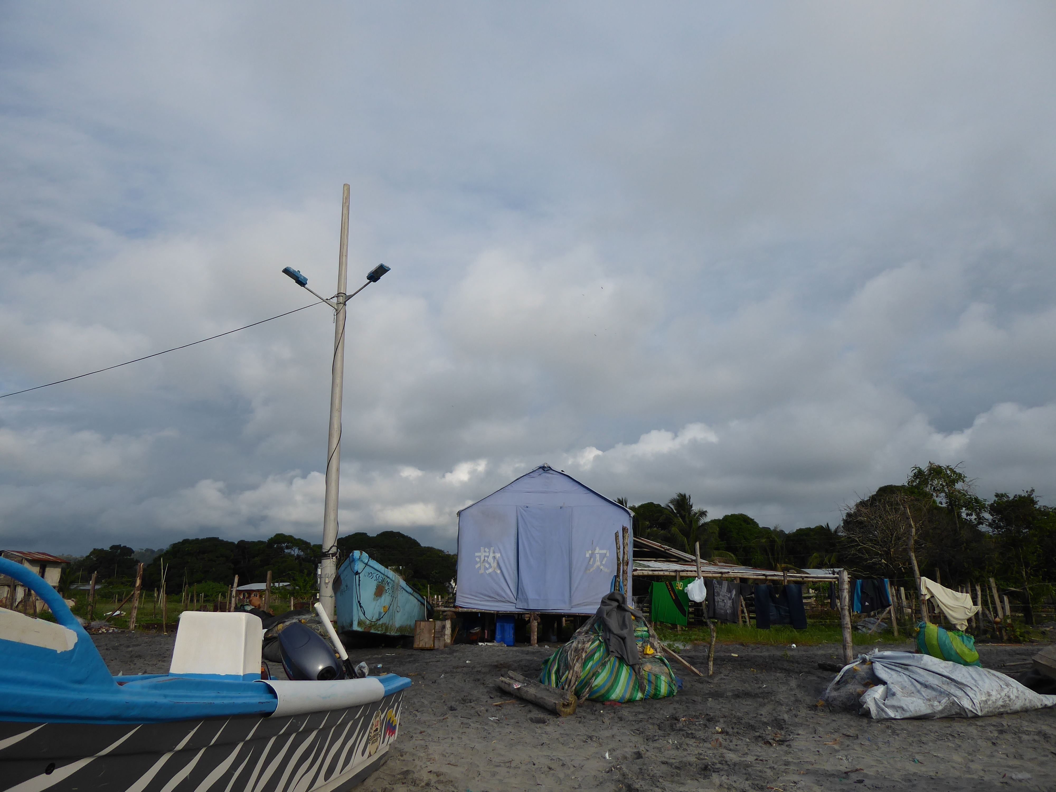
Blue tents with Chinese writing stood too: some as permanent dwellings, others as an additional room, others as a gazebo for shade. The tents were remnants from relief efforts after the devastating earthquake of April 2016.

Once I’d settled into Canoa it didn’t take long before residents spoke of their lingering trauma. “I was running forward and being pulled backwards. I’m still afraid.” Said one young man. He pointed out where homes, shops, and hotels had been flattened. Lives had been lost.

Despite the earth being ripped apart and pulled from beneath their feet, people remained and carried on. I thought of September 11th’s aftermath.

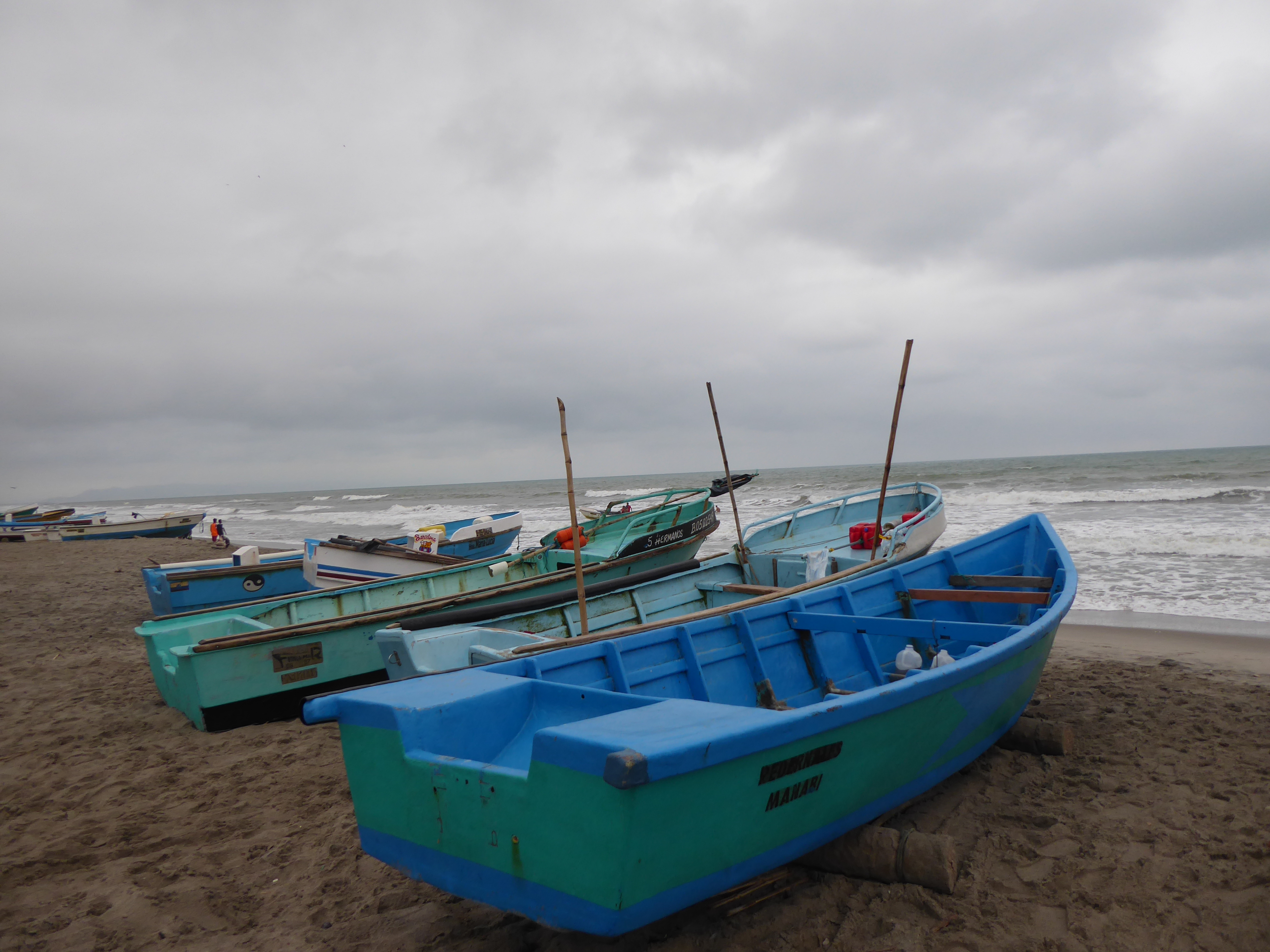
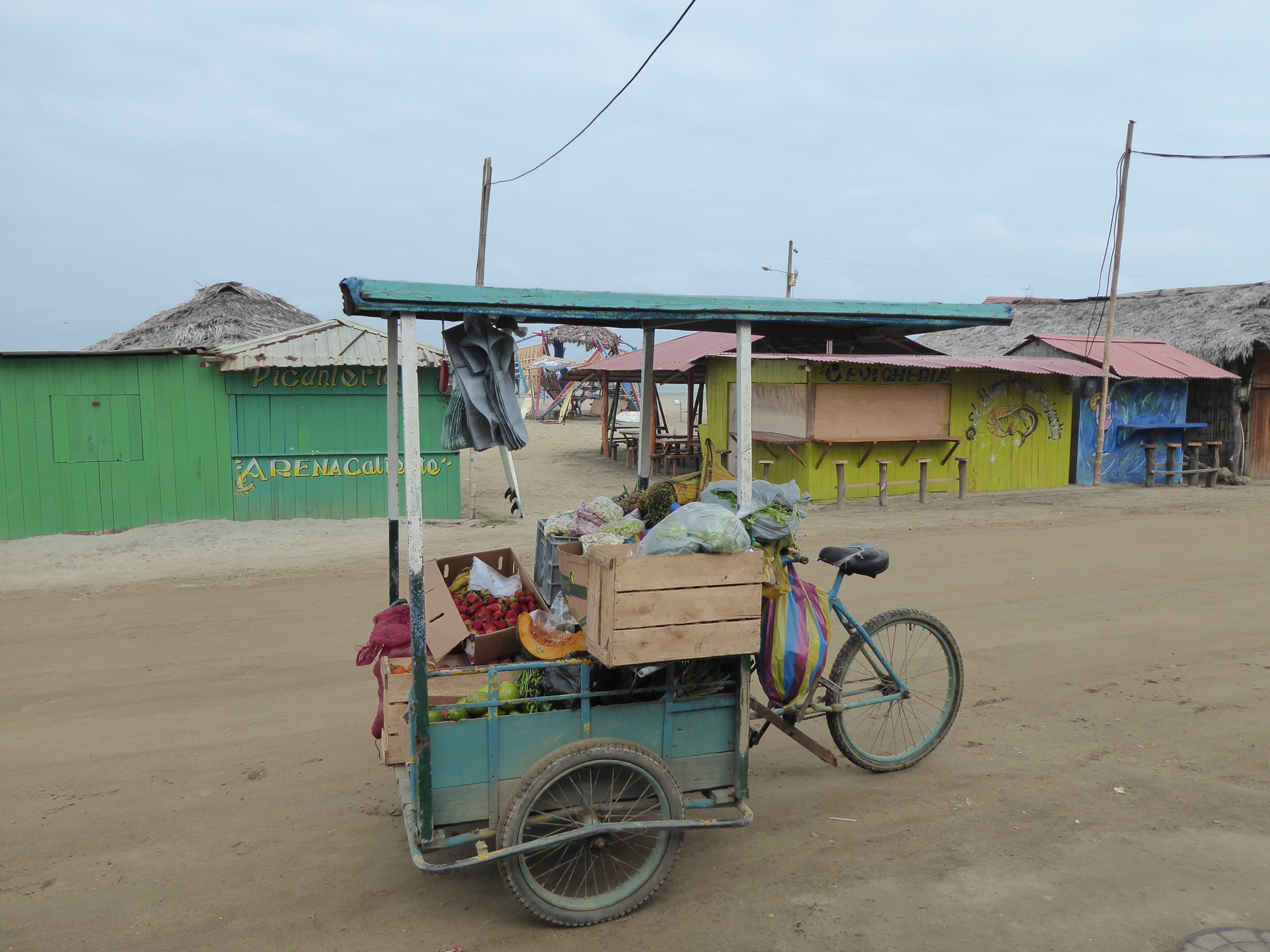
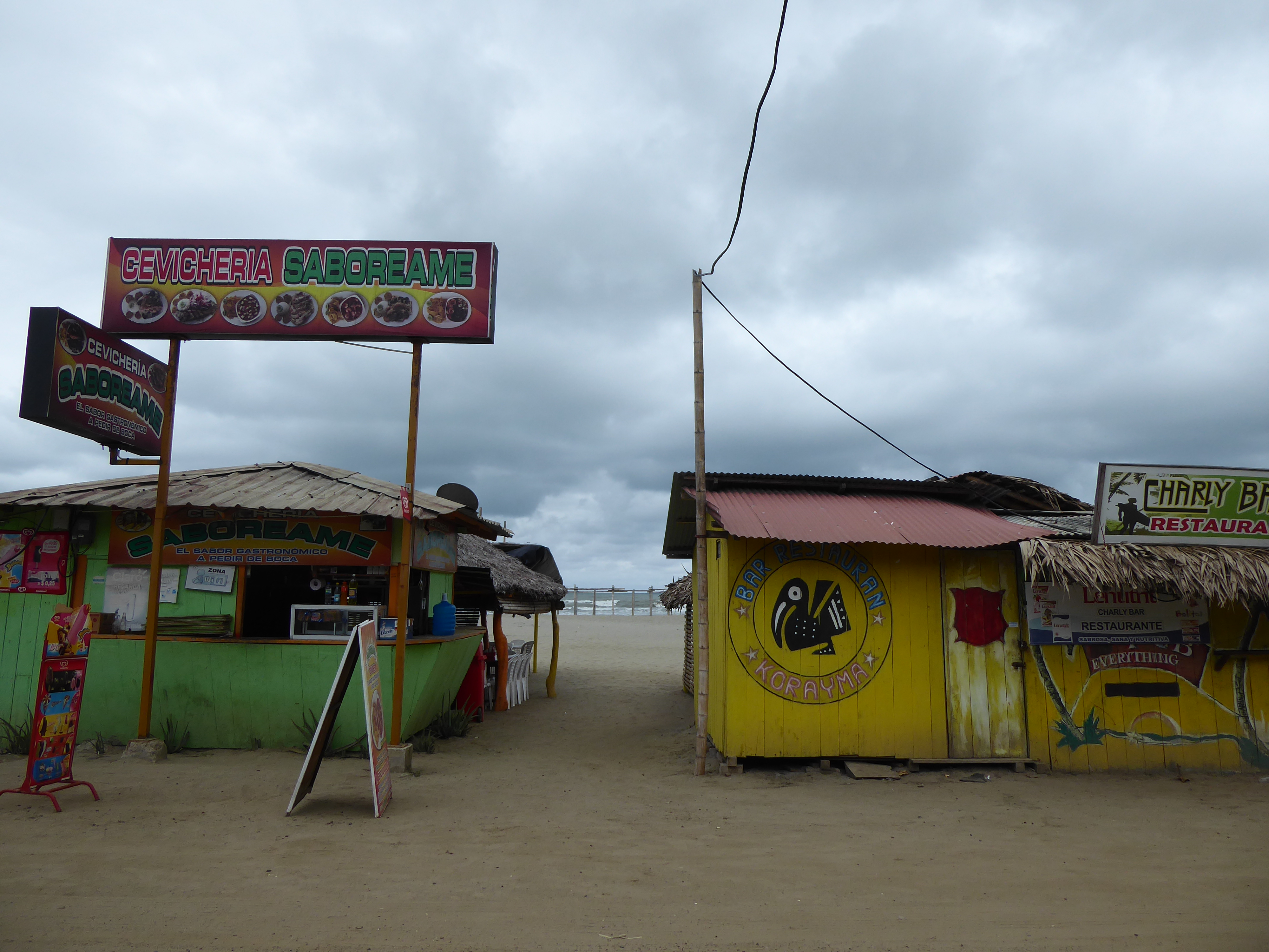
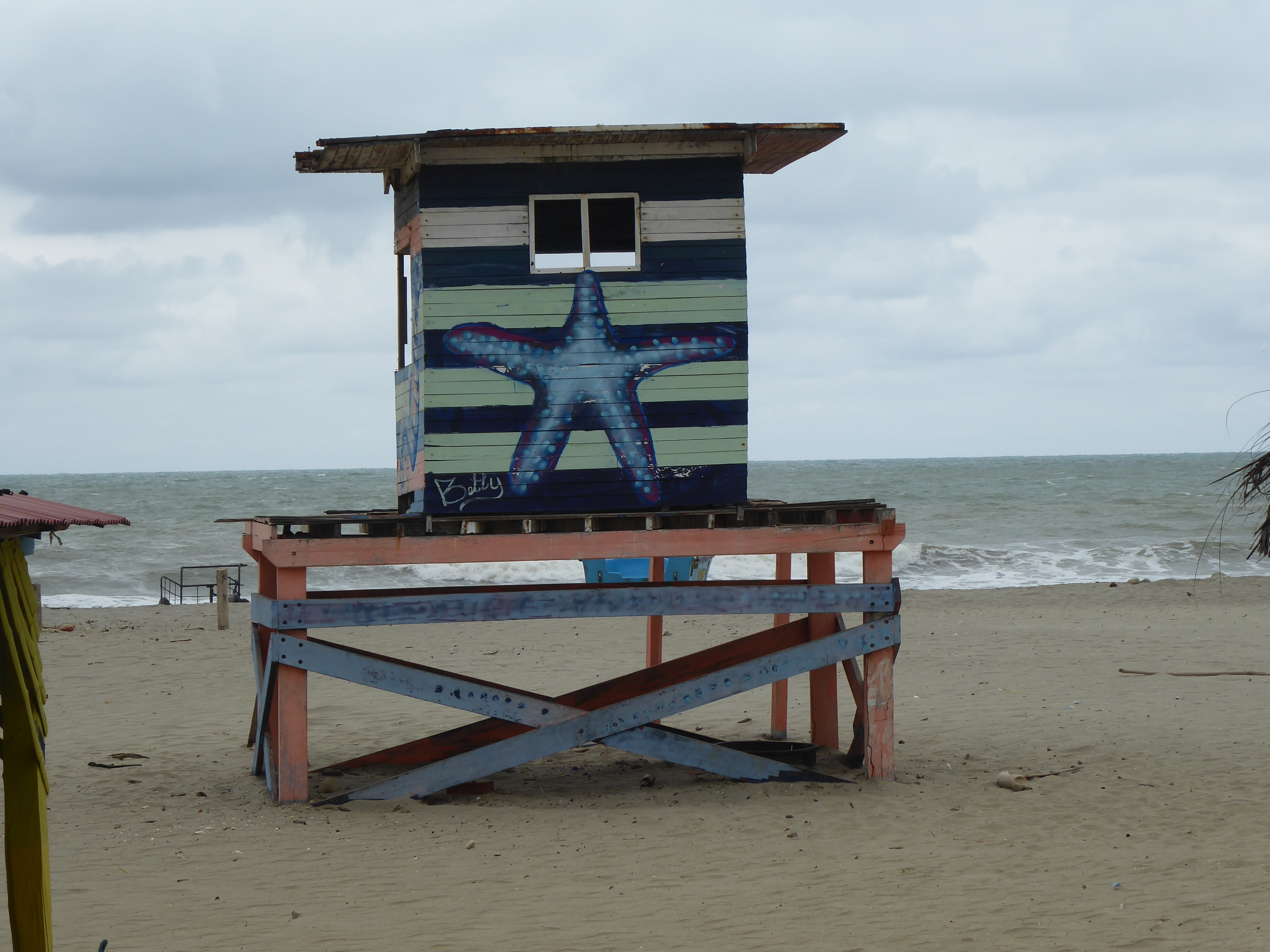
A row of makeshift eateries and shops line Canoa’s unpaved and sandy main roads. Those directly on the beach have tables and chairs sitting in the sand. Ceviche, prawns, shrimp, fish, and conch are the staples. This is the coast after all. Fishing boats dot the beach. Men and women unfurl and repair nets. Vendors drive by in trucks and bicycles filled with fruits and vegetables. Men and women carrying snacks, brooms, and hats to sell pass by. Children push makeshift boats through the sand. There are few people around. Those that are chat with one another, wait idly for customers, or thumb through a newspaper. The ubiquitous dogs are lazy and gentle. It is quiet, except for the occasional rooster or popular music playing from one of the beachside restaurants or bars. Flocks of pelicans swoop above. The ocean offers the familiar pulse.

I liked this small town immediately.

I found a hotel on the beach with a balcony and view of the sea. I started my days eating local delicacies of platanos and more familiar fare-eggs and toast- with my feet in the sand gazing at the sea. For lunch and dinner I feasted on fresh seafood. The ceviche and prawns prepared with coconut milk were divine. It was a welcome change from the meals I’d been eating inland.

I spent my days walking, reading my tome (Les Miserable in a new English translation.), writing-difficult to do after reading Hugo, speaking with locals and fellow travelers, partaking in a trivia night with expats and tourists-gringos everyone-that was different, taking a few Spanish lessons and giving impromptu English lessons.

Canoa was the perfect place to catch my breath and relax.

QUILOTOA LOOP: Chugchilan Part Two

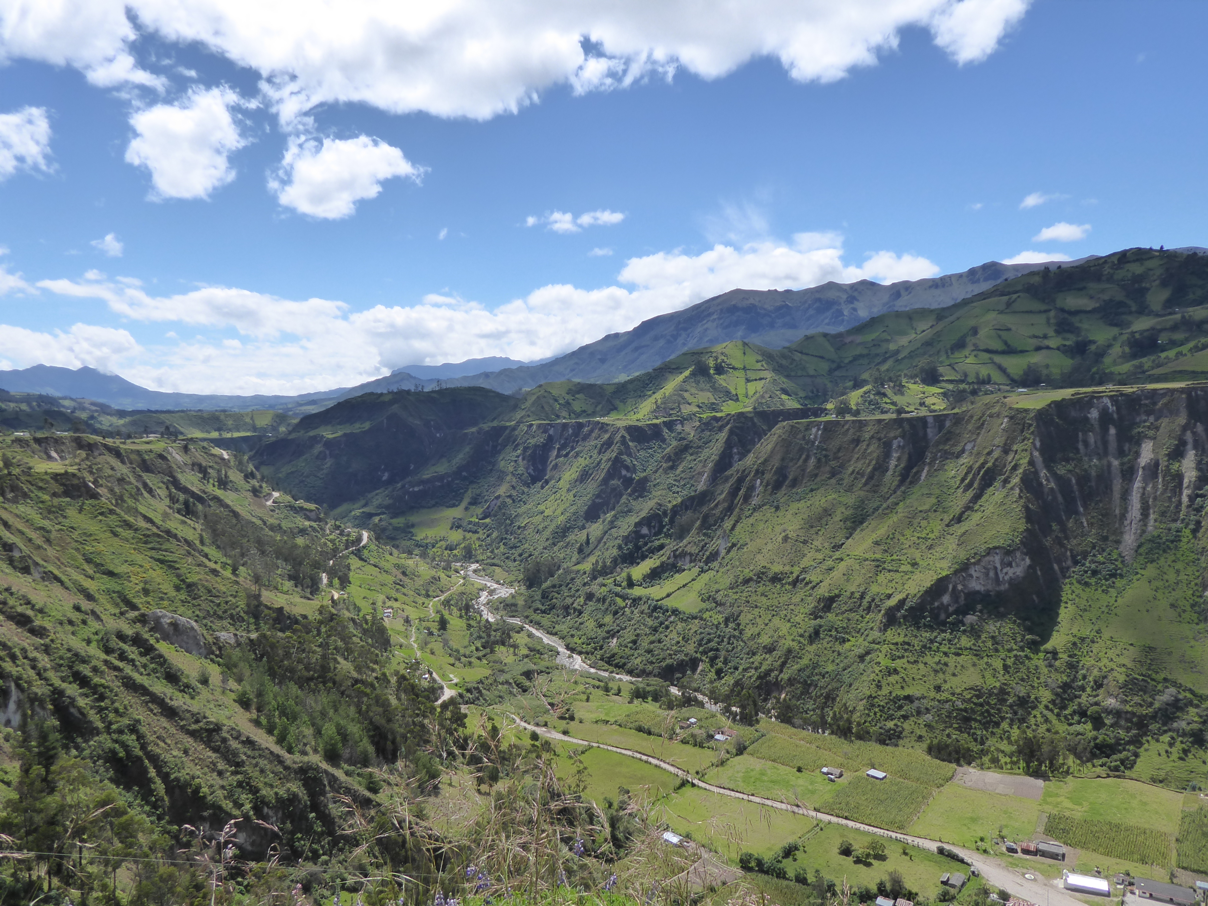
Heavy rains throughout South America this year brought destruction, and the Quilotoa region of Ecuador was no exception. Rock slides were common and roads crumbled leaving huge gaps and treacherous conditions for unsuspecting motorists. The locals seemed to take this in stride maneuvering deftly around obstacles and barely marked missing roadway. Hiking trails, as I had learned all too well were affected too, but most remained intact.


After my adventure the previous day I was looking forward to a scenic, peaceful four hour hike from Chugchilan to a highly recommended hostal in Isinlivi. I booked a room for the night.

I was hoping Faye would join me: perhaps it was the dog bite she had gotten, or
our “bridge” crossing, or walking on “the goat path” the previous day that dampened her enthusiasm. She left on a bus back to Latacunga after breakfast.

I went over a map of my intended hike to Isinlivi thoroughly, speaking to a guide in Chugchilan for further confirmation, and was assured it was a well marked, safe trail.

I set off alone with the sturdy stick I acquired the day before-other hikers that day were doing the loop in the opposite direction. I followed the road out of Chugchilan reaching a footpath heading down to the river. A local man confirmed the way. (The path wasn’t quite as clearly marked as I had hoped.) One wrong turn brought me to the hut of an old Kichwa woman who spoke only Kichwa. I gathered she was none too pleased by my trespassing. I expressed my apologies in Spanish and quickly retraced my steps to the proper path.

The map came with a description of the hike and mentioned a sandy, steep decline. The beginning was easy enough-I thought this isn’t bad at all-until the drop was almost vertical. But the path, unlike yesterday’s, would perhaps yield a scrapped knee or dirty derrière-not an end of life. I used my walking stick with every step. Finally, reaching the bottom, I was glad I was not returning the same way.

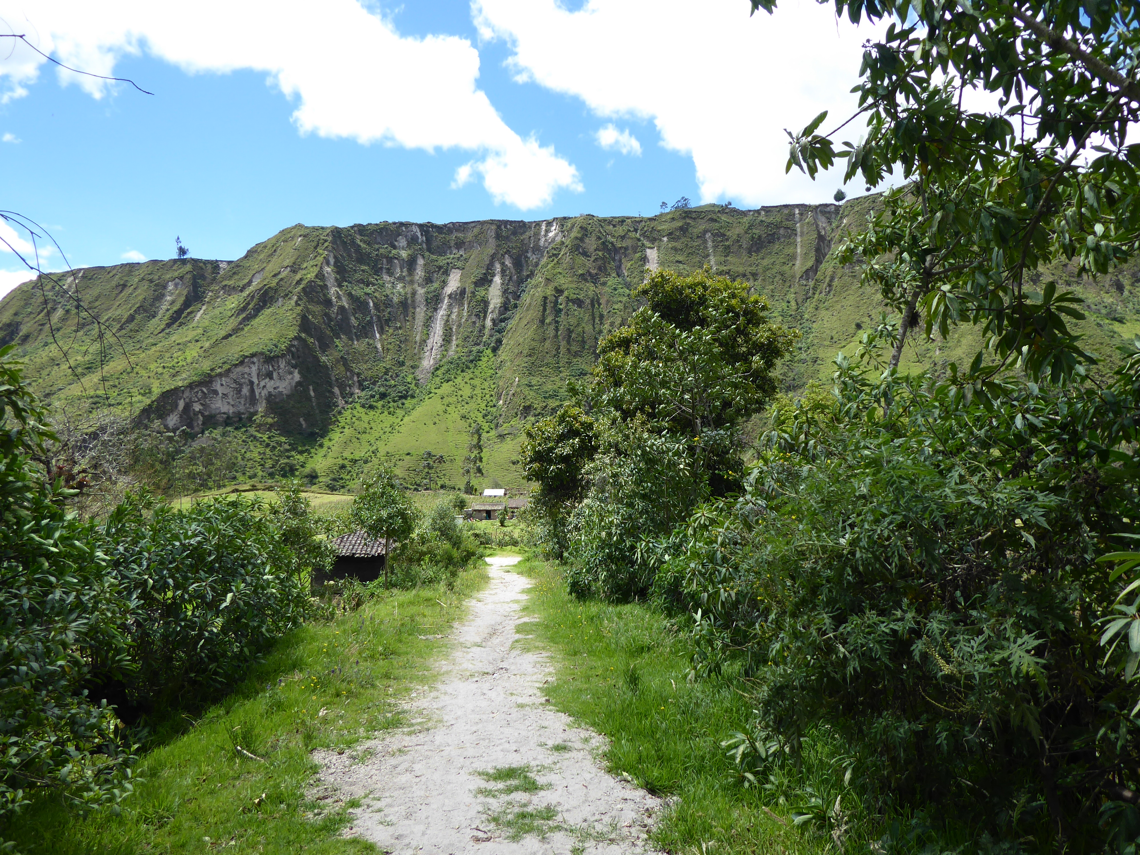
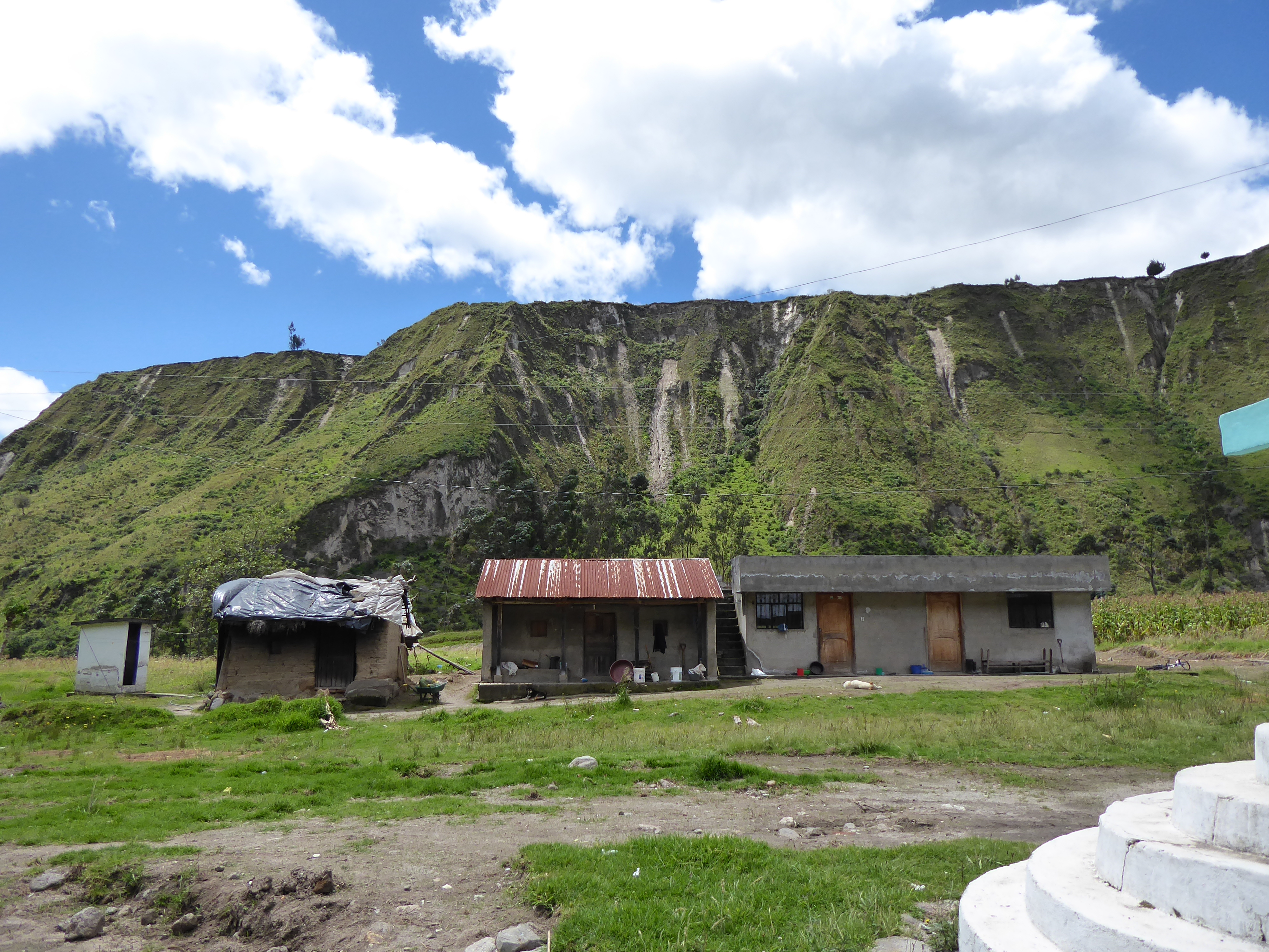
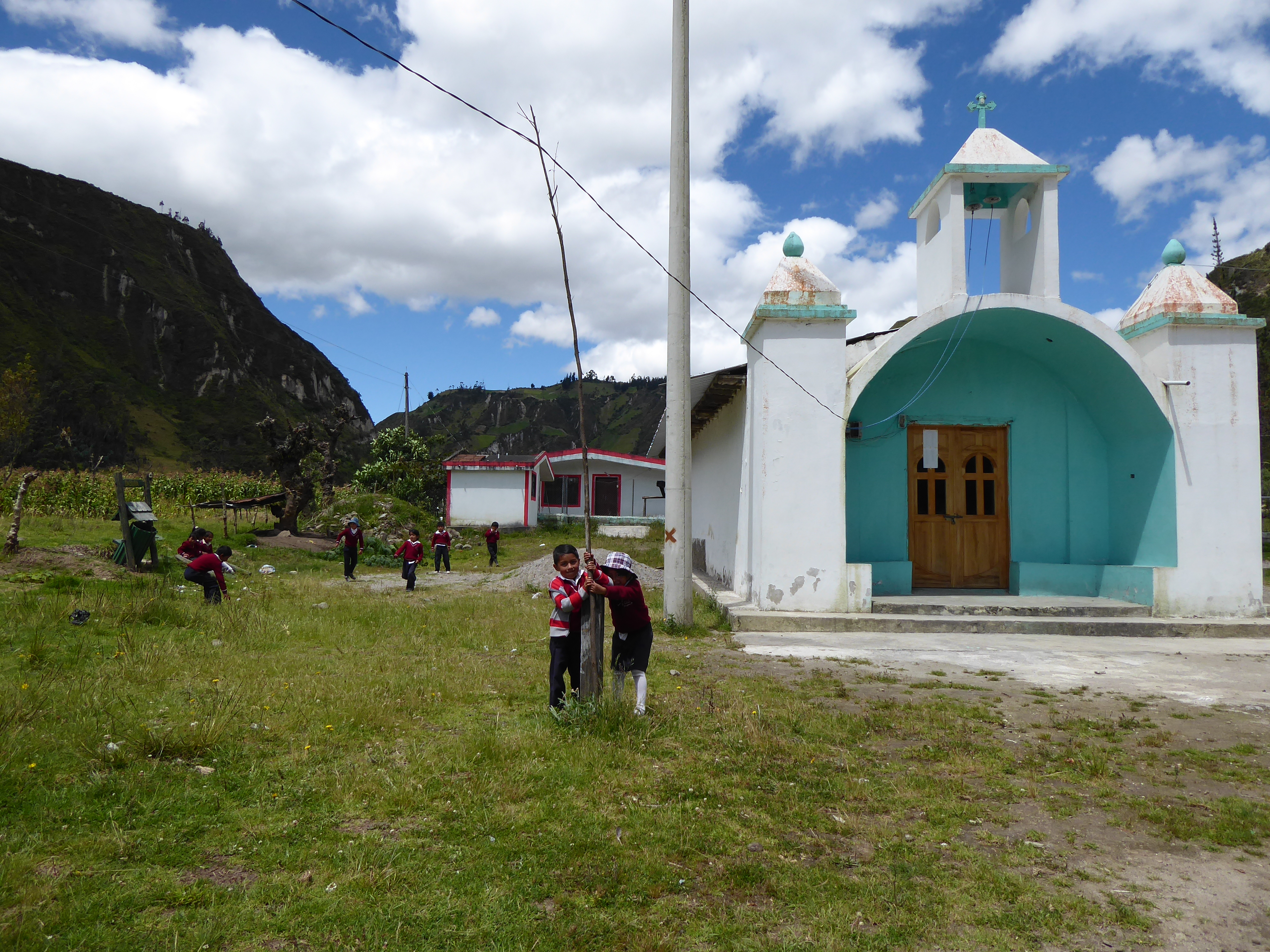
In the valley was a tiny village with church and school. I stayed awhile watching the children, some were talking with one another, some were playing-boys invariably play futbol(soccer), girl’s seem to engage in less active recreation. I was greeted with “hola.”


The directions mentioned two river crossings: a suspension footbridge no longer in use-it was too dangerous-and the second, sturdier bridge a bit further down. I arrived at the first bridge and noticed its compromised state-many planks were missing.

Confident that I was well on my way to the second bridge and Isinlivi, I walked on. Four young blonde women came towards me.

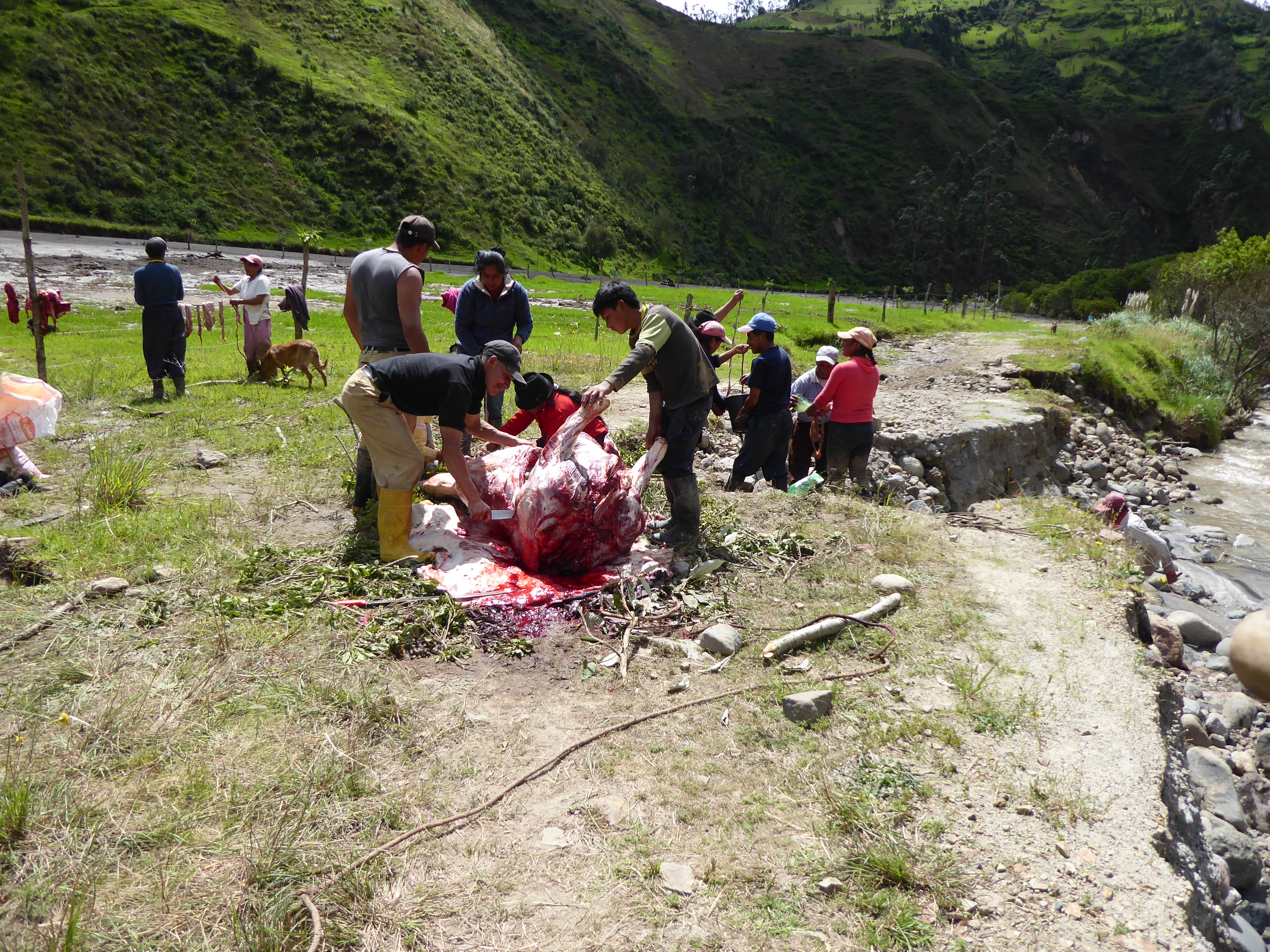
They had just been walking along a small meadow, finding it strange that water was soon up to their ankles. Then they heard a roar and the side of a hill opened up gushing with mud. Wet earth came spilling down, sweeping everything up in its path. Locals were yelling for them to run and guided them to safety. A cow was killed in minutes. Fortunately there were no other known casualties. The good bridge was wiped out.

I missed the mudslide-and the crossing of the river-by minutes.

The young women were shaken. We chatted a bit then they walked on. Their legs were muddy up to their knees.

It took me a minute to register the events. The good bridge was gone?? How would I be getting to Isinliví?

I decided to investigate my options and walked the short distance to the mudslide area assured by the presence of lingering locals. They were busy cutting up, and cleaning the entrails, of the freshly killed cow. I asked them about getting to Isinlivi. A few told me, “There is no way to get there now.” One local suggested I use the old/unsafe bridge then bushwhack along the river until I joined the proper path. However, the previous day’s hike was enough to satisfy any desire for precarious paths and bridges.

The only option was to return to Chugchilan. I did not look forward to ascending the steep path I had come down. There was a different route by road, but it was much longer and there was, according to the locals, no chance of encountering any vehicles.

I stopped again at the small, now vacant, village, this time to muster strength for the climb. Back down by the river, near the mudslide, retained a threatening air. I thought it best not to stay too close. The locals showed no concern.

The 750 meter(2460 feet) climb was arduous and slow going. Once again my walking stick was indispensable. About midway a man carrying a machete passed me on his way down offering me encouragement. “You’re almost there.” He said with a big smile. I appreciated his kindness and forged on. My trek was for many locals their usual route.

Once I reached the main road I hitched a ride in the back of a pickup truck. It wasn’t a far walk, but it was uphill and I was tired.

Back at the hostal news of the mudslide was on most people’s lips. Strategies were discussed for hiking out to Isinlivi the following day. Many were certain they could get there using the old bridge and bushwhacking or hoping the mud had settled enough to walk on near the new bridge.

I was invited to hike with them, but declined.

I had already decided I’d be heading to the coast for some relaxation.

QUILOTOA LOOP: Chugchilan

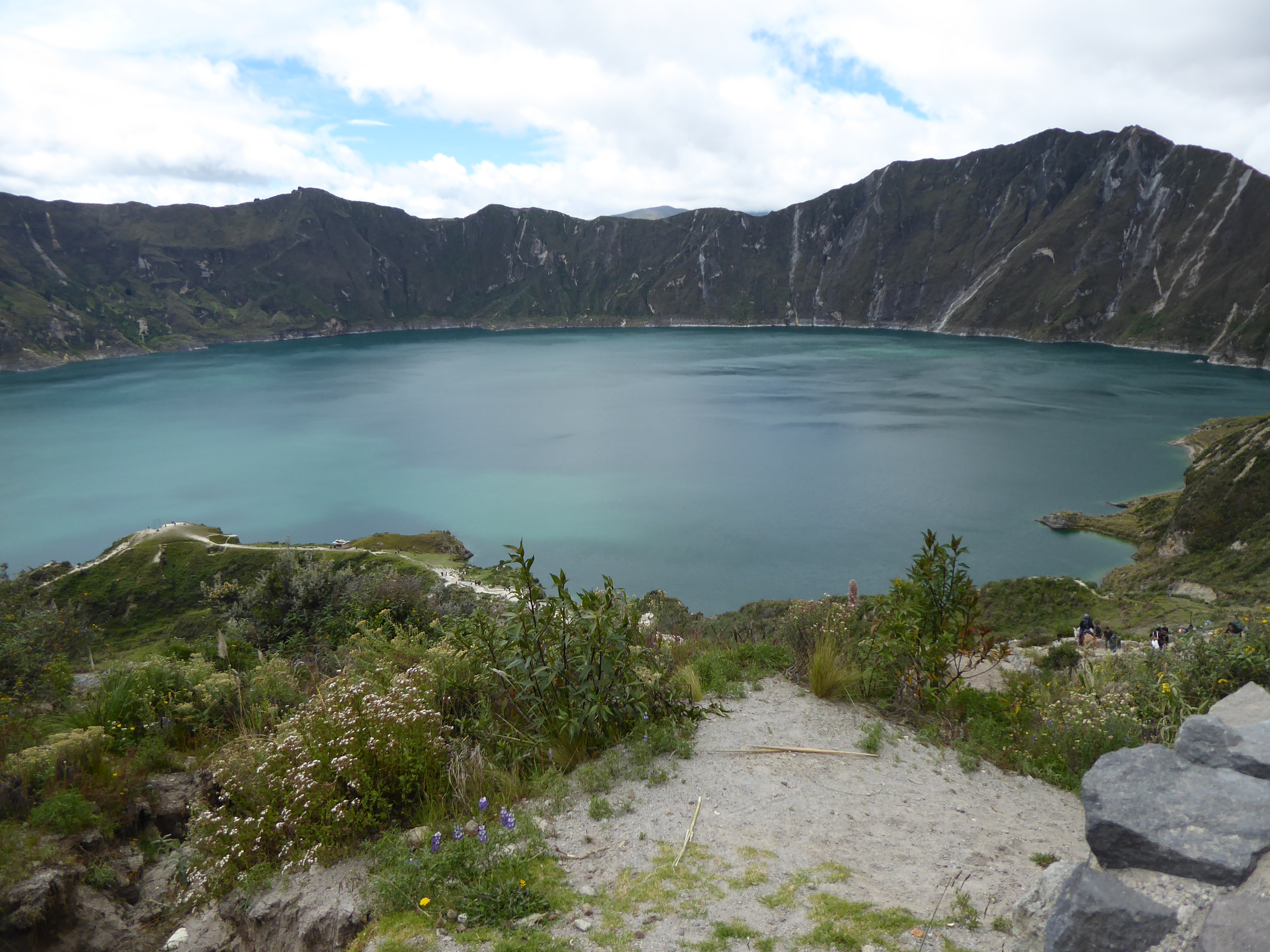
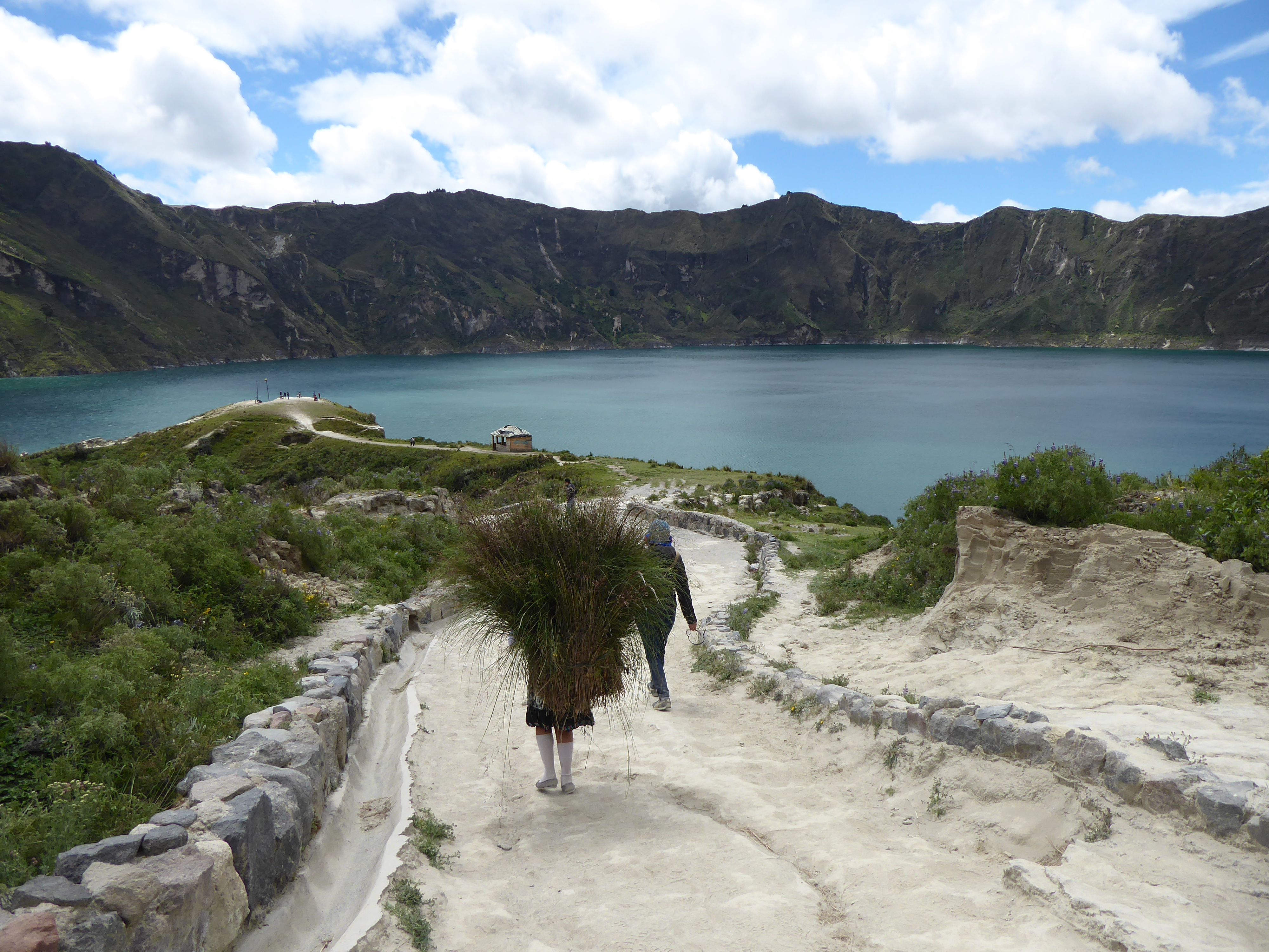
The crown jewel of the Quilotoa region is its crystalline crater lake. Extremely strong gusts of wind dissuaded me from walking along the crater’s rim, but the 400 meter walk from the rim down to the lake had its own challenges. The narrow, serpentine, loose path was very steep and walkers competed for space with the donkeys that transported tourists up from the bottom. After enjoying the view, I made my way back up with considerable effort and frequent stops. Passing me were the local men, women, old and young, and children who guided the donkeys up and down several times a day or carried necessities.

I spent the night in a comfortable hostal offering private bed and bath with a wood burning stove, dinner and breakfast for $15. There I met Faye, from South Korea, who was hiking to Chugchilan, about 13kms away, the following day. I was tempted and we decided to hike together.

Equipped with a map, and the maps.me app we set off around 10am. Faye confidently led the way. The beginning was not auspicious. Shortly into our hike some dogs came out from their domain and Faye was bitten. Frightened, but not deterred Faye now with a good bruise on her leg, decided to walk on. The dogs’ owners made amends by arming us with a sturdy stick to ward off any other aggressors. We picked up two more.

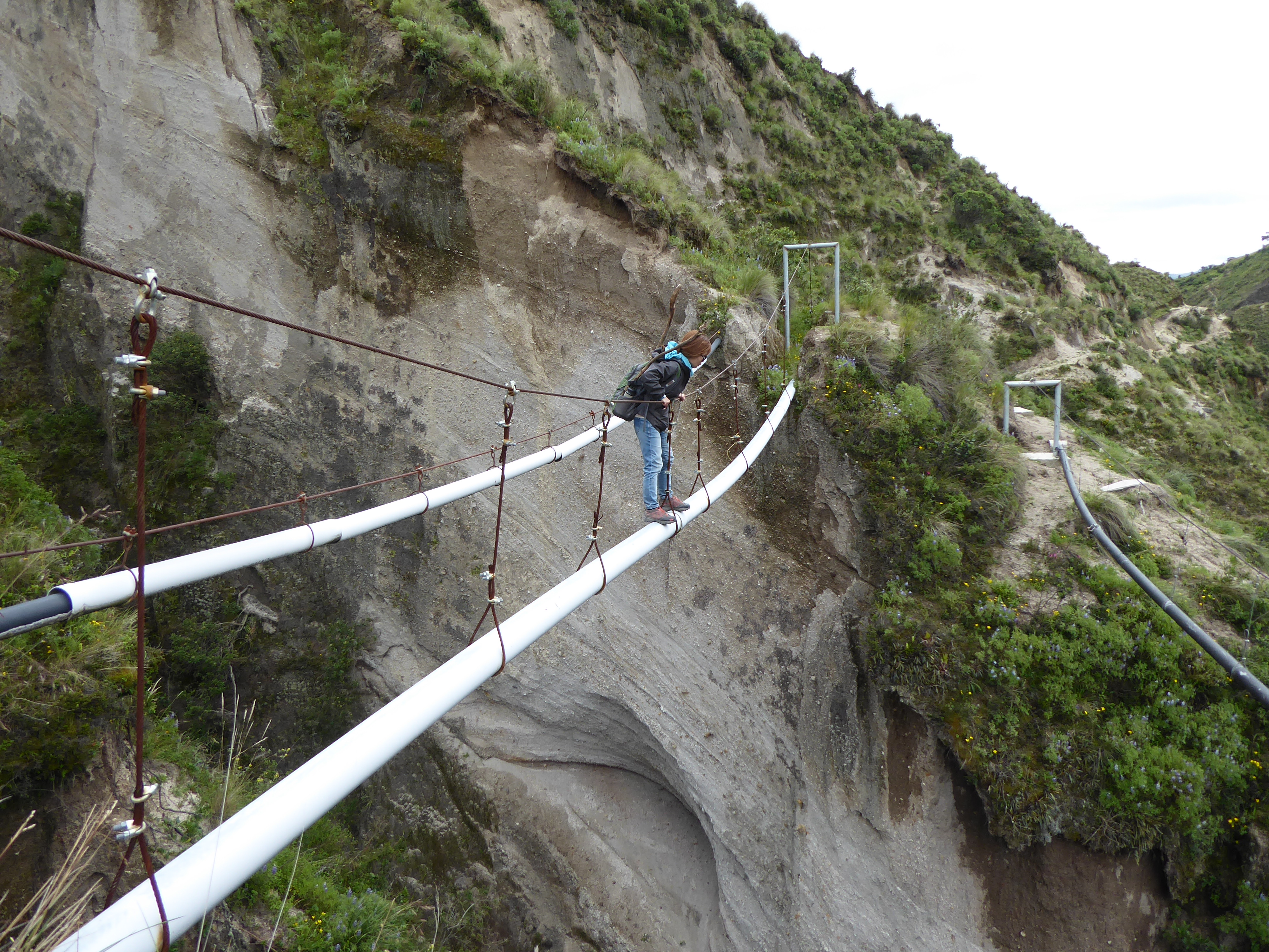
We verified our route with the family and continued hiking. The terrain was hilly. The path sandy and rocky. The landscape was dotted with small settlements of wooden and cement shacks and patches of crops. Signs with arrows confirmed our path as did the maps.me app. All seemed in order until we arrived at “a bridge” crossing a ravine. The “bridge” was a single tube that went the length of the wide gap hoisted with several vertical cables attached to a single cable above. Crossing it would require shimming horizontally along the tube with arms used for guidance and moral support. It was a daunting passage, but the well worn path on both sides gave us confidence. (I had seen people using similarly funky bridges in Asia.) “People must use this all the time.” I said.

Faye went first. Standing about 4’10″(1.47 meters) she struggled to reach the cable above that sloped down toward the middle, but she got across. My going second gave me just enough time to get thoroughly spooked. The sway of the pipe did nothing to ease my nerves, but I too-with some much needed encouragement midway-got to the other side. We congratulated ourselves for our accomplishment and walked on–so elated as to not notice the precarious path we were embarking on.

Moments later the precipitous path could no longer be ignored. It narrowed to less than a foot in width with a cliff on one side and a very deep drop on the other. Adding further concern, the path itself with a tilt toward the abyss was loose sand of inconclusive weight bearing capacity. The situation was clear to me. We would not survive a fall. Faye wanted to forge on. Her small feet fit the path better than mine. My survival instincts kicked in. I wasn’t taking another step forward and the only movement I managed was with my mouth uttering a word beginning with F. Even the small patch of earth I was sitting on felt uncomfortably unstable. Talking with Faye calmed me, but I was not willing to walk on.

Unfortunately, the only alternative was traversing back over “the bridge”. Faye and I had different fears. I preferred the bridge to the path. The sky was darkening and rain would definitely make the path even more treacherous than I was certain it already was. It didn’t take long for us to agree-we made a good team-to go back over the bridge. I thought of Philippe Petit, who walked on a high wire between the Twin Towers, for inspiration. Faye prayed.

The crossing was without incident. We forged up some steep, but passable hills in search of a road. Some school children pointed us in the right direction and soon after we hitched a ride to Chugchilan.

Sharing our exploits with the driver, he concurred that we had been on the right path all along…until we showed him the picture of “the bridge.” “That’s not a bridge, that’s a water pipe!” I won’t describe the look of horror on his face.

We repeated our tale anticipating the-now that we were out of danger-amusing reactions of dismay. We were not disappointed. The photos clinched it. (People asked to take photos of our photos to show their friends.)

“You’re safe now.” one man kindly conceded. “That’s all that matters,” he added. When we tried to justify our choice by repeating the advice of the locals and following the signs, we learned the path had become too dangerous from erosion. “It’s suitable for goats, not people.”

But why the path came to and continued beyond “the bridge” remains a mystery.

I slept relatively well in Chugchilan that night relieved that disaster had been averted but questioning my judgment at arriving in such a predicament.

QUILOTOA LOOP: Tigua

I left Cotopaxi for Latacunga-a small city with a charming colonial center-for closer access to the “Quilotoa Loop.” Although the greatest appeals of these trails are the Quilotoa crater lake and hiking from one indigenous community to another, it was also possible to visit most of the way by bus. (Buses are a vital network supplemented with paid and free hitchhiking.) This was my intention.

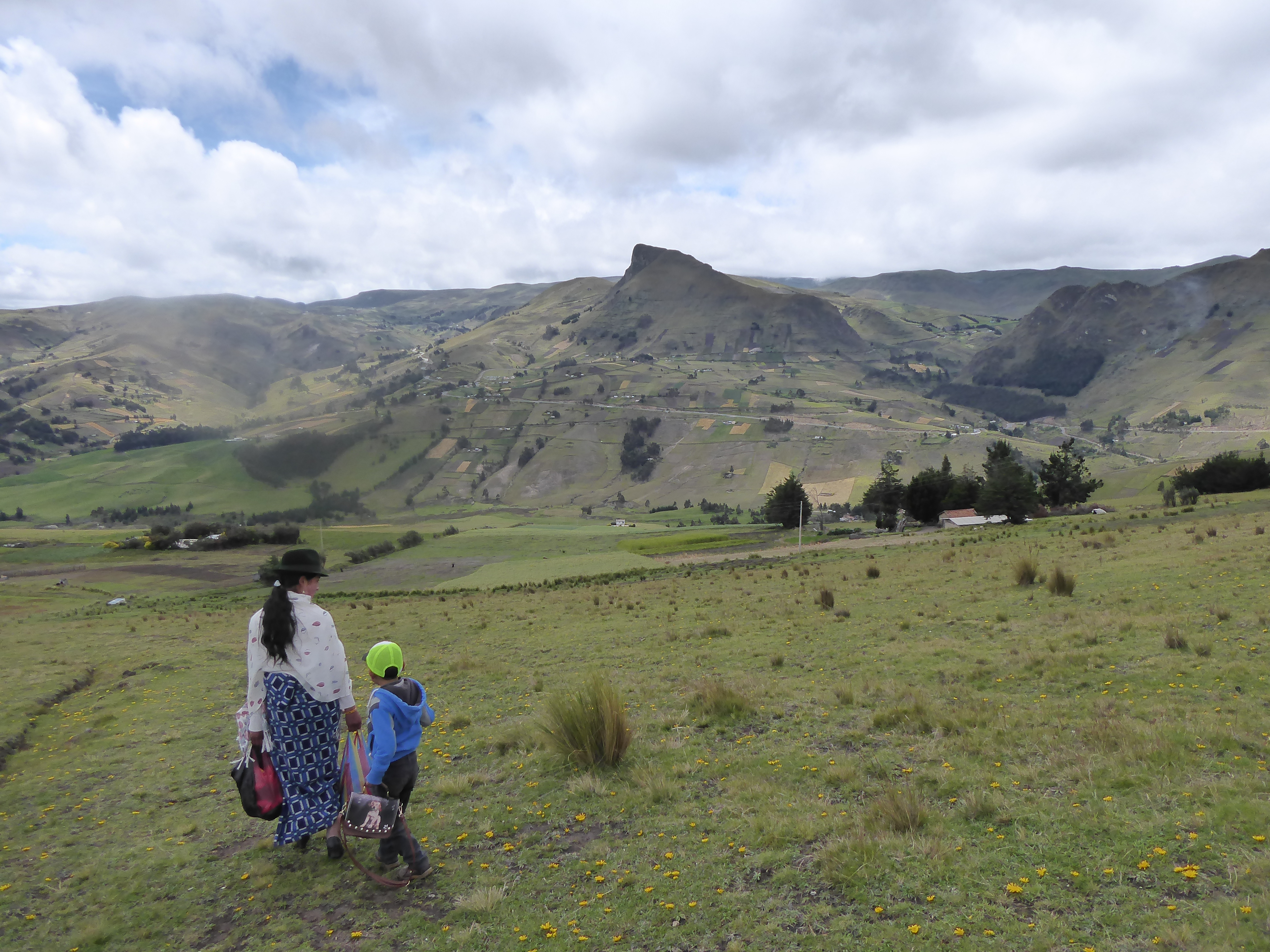
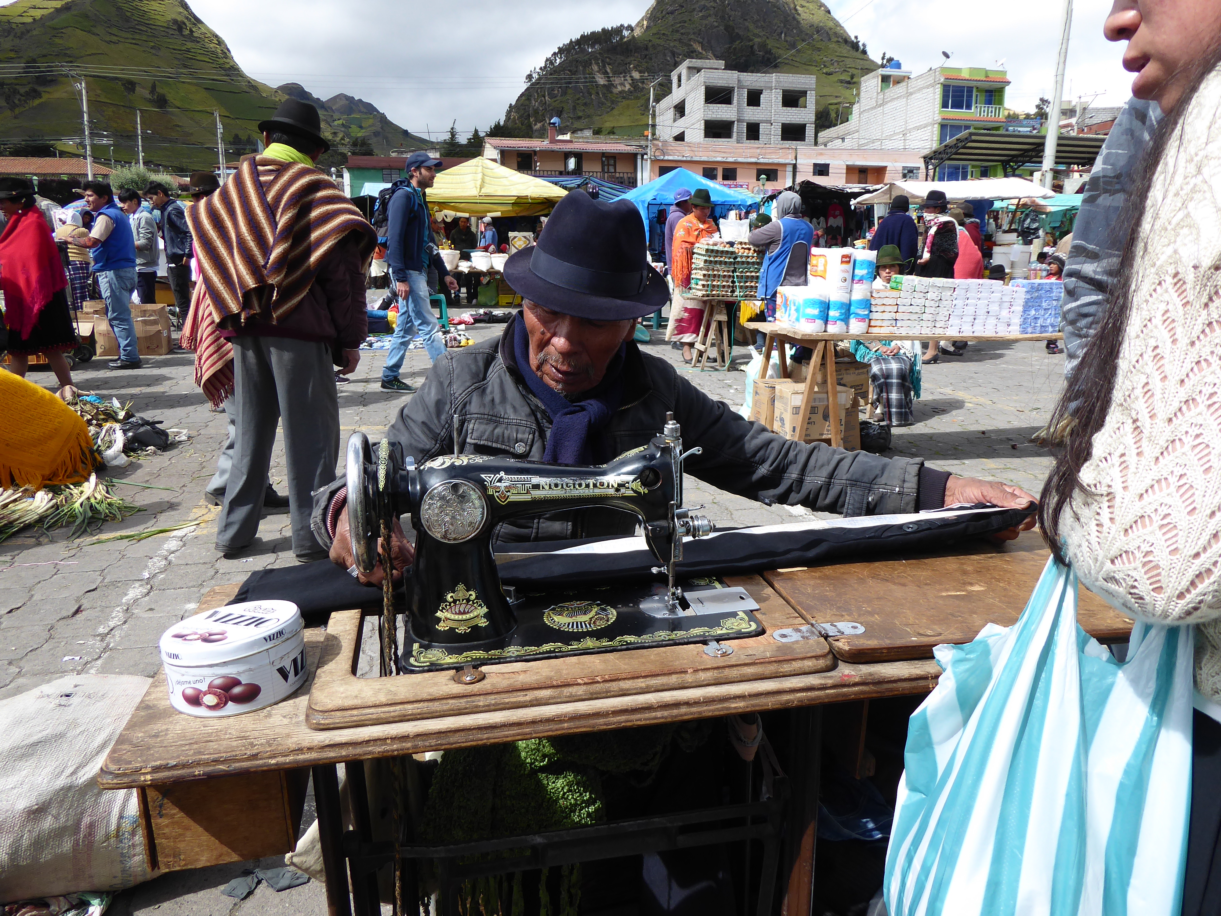
I made a reservation in Tigua at a working dairy farm to spend the night, about two hours from Latacunga and stopped in Zumbahua for the notable Saturday market. Locals come to buy and sell goods and perform services. Many of the indigenous people of Ecuador are Kichwa, speaking a language of the same name. Like most first people, they have suffered exploitation, discrimination and make up the majority of the poor. Seeking refuge during colonization many still reside outside the towns they created, living off their crops and livestock. Their dress, particularly the women, is often traditional: colorful shawls and skirts. The men are more eclectic in their attire. But almost everyone dons a hat.

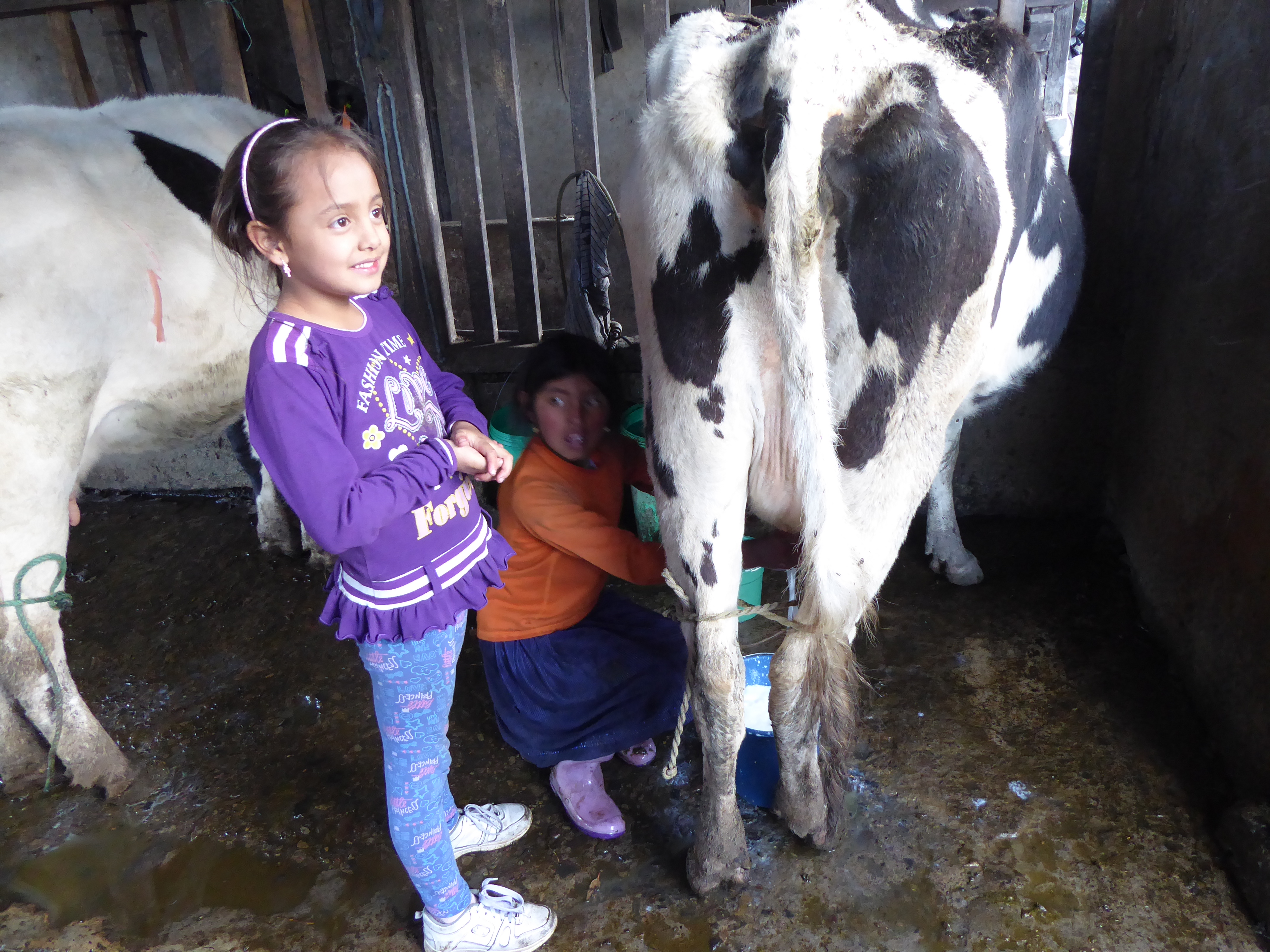
The dairy farm is owned and run by a sixth generation man of Spanish origin. His well-dressed, clean wife and daughters, playing with their pet St. Bernard was in stark contrast to his staff. They were an indigenous family living in a nearby, simple dwelling protected with plastic sheets for roofing. Those daughters ten and fifteen wrangled and harnessed cow after cow, sat on small stools, their clothes muddied, as they filled buckets of milk moving their hands deftly for hours. The owner’s daughter amused herself by filling a small glass of milk from a cow that would soon yield a bucketful from still young, but more expert hands.

COTOPAXI, ECUADOR

I reserved two nights at a hacienda in Cotopaxi, an expansive national park of flatlands and hills with golden-green brush: a land of wild horses, condors, lagoons, and cattle, with looming active and dormant volcanos. Getting there from Quito (a mere 41kms away) required an hour taxi to the city’s southern bus terminal, then nearly two hours of bus (there are frequent loading and unloading of passengers) to Machachi. I was dropped off on the side of the Panamericana (the appropriately named highway that travels 30,000 Kms through North, Central, and South America). Crossing the highway to enter the town a large statue of rearing bronco and rider greeted me.

On the narrower street were a few tiendas(small shops) and not much else. I asked a man about a taxi and he told me one would come by. Sure enough a white pick-up truck pulled up, but when I gave the name of the hacienda “Chilcabamba” the driver gave me a blank look. He kindly assured me someone else would know where it was. But a few more inquiries met with the same blank look.

I was told the ride would cost from $25 to $30 to travel the very poor road an additional 16kms. So when a driver finally “knew the place” and offered to take me for $15, I was pleasantly surprised.

The cobbled and rutted road through the small communidads was very slow going. Manuel, the driver maneuvered between the paths of least resistance-a bumpy, unsteady ride that challenged his talents of navigation. After a while, he stopped an on coming motorcyclist. Having lived in the area his entire life I thought he was greeting a friend. It soon became clear he was asking directions to Chilcabamba. It would be another slow and steady slog before we finally reached my destination. He conveniently didn’t have change for my $20. I didn’t press the issue.

I settled into my room warmed with a wood burning stove. The bed had several blankets. Mornings, once the fire went out would be chilly.

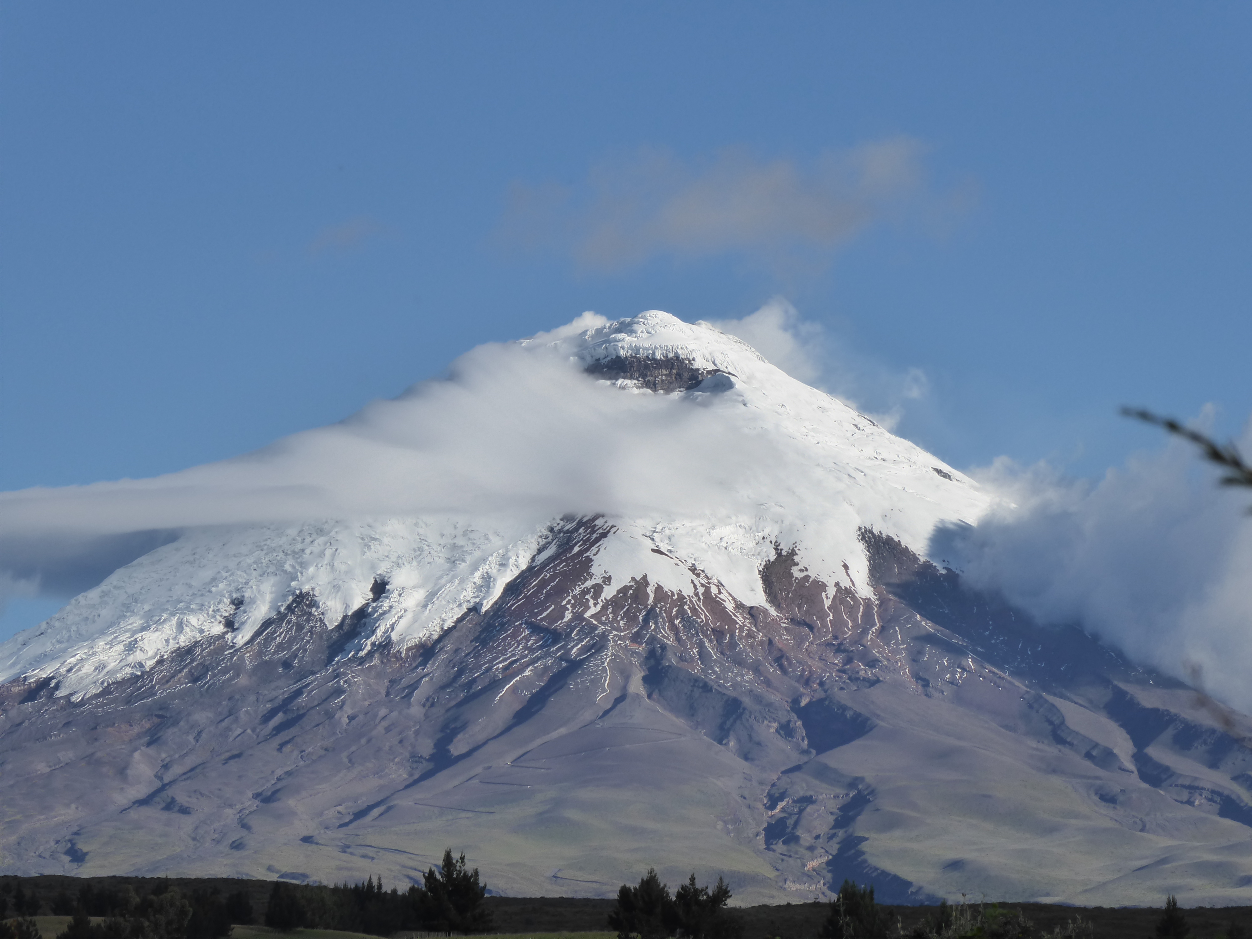
Volcán Cotopaxi is an impressive sight. Her snow capped peak stands at 5897 meters and bears a coquettish air often veiled in clouds. She is alive and well and showed signs of life in 2015 restricting access to her summit-a disappointment for hardcore climbers-but I had no intention to climb her. (Residents live with the threat of her eruption and evacuation routes with warning signs are displayed throughout the area.)

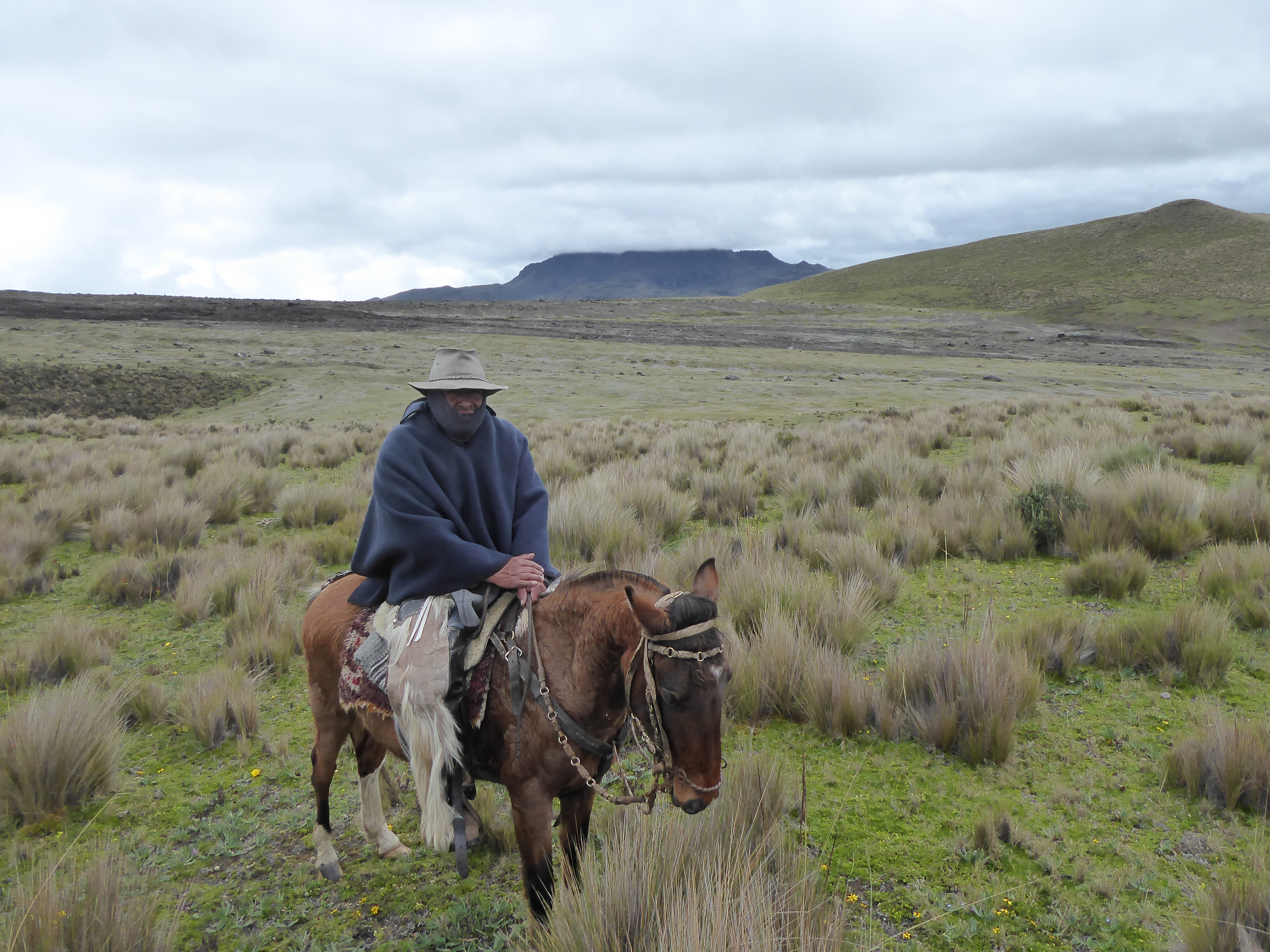
I was here to ride horses and arranged for a three-hour ride with Rafael. I was invited to wear a wool poncho, similar to his, and donned it awhile to ward off the chill, but found it cumbersome and resorted to my down vest and Goretex jacket. Thus when we approached a small group of riders all wearing ponchos I assumed they were turistas too.

As we neared, all the men had the brown tinted skin of the locals. Their ponchos were tightly woven, their rubber boots fit securely in the stirrups and their postures spoke of a knowledge in the saddle that my body was doing its best to recall. Rafael chatted awhile and learned these chagras (cowboys) were on the lookout for a stray bull. Their pack of dogs happily accompanied them while chasing rabbits.

Rafael and I rode the rest of the time seeing no one, despite covering many miles. My horse was responsive and sure-footed. The wind blew in hearty gusts and a mist of rain came and went. A fog shrouded the scenery drastically reducing our visibility before lifting to reveal the stark, hilly landscape.

In the distance, circling above, were birds soaring, large and far off all at once. Only condors offer such an impressive sight. Their nearly 3 meter wingspan offer a grace and majesty incongruous with their ungainly bodies and grotesque heads. It was a charmed viewing.

A hot shower was welcome after my ride. I spoke with a Swiss couple at dinner and went to bed not long afterwards content to gaze at the warming flames from the well-stocked stove.

I remained in Cotopaxi a total of four nights to ride again, hike, and enjoy the vistas before heading on to Latacunga.

Volcán Cotopaxi slept the entire time.

To be continued…