All posts by startsolo

QUILOTOA LOOP: Chugchilan

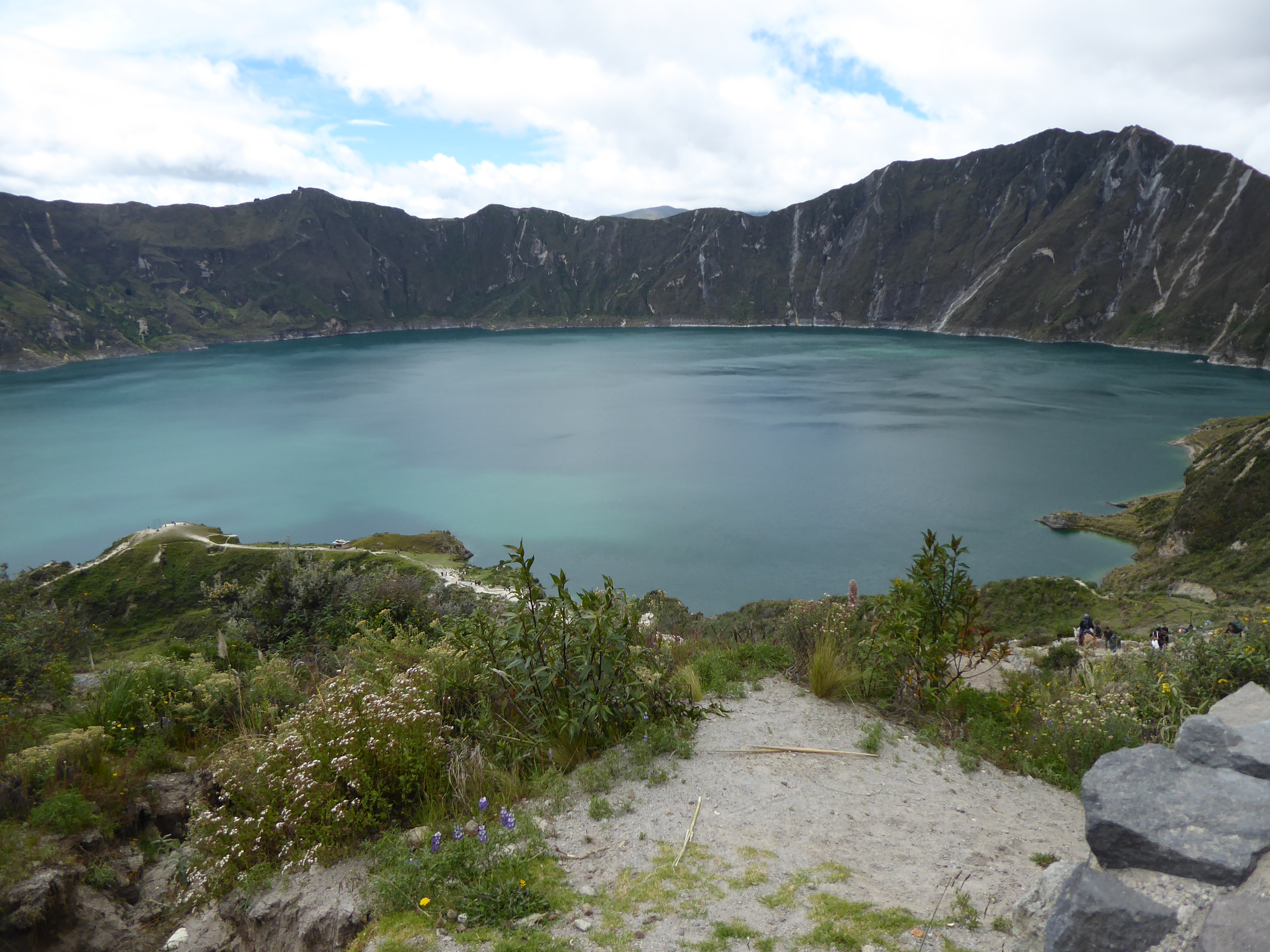
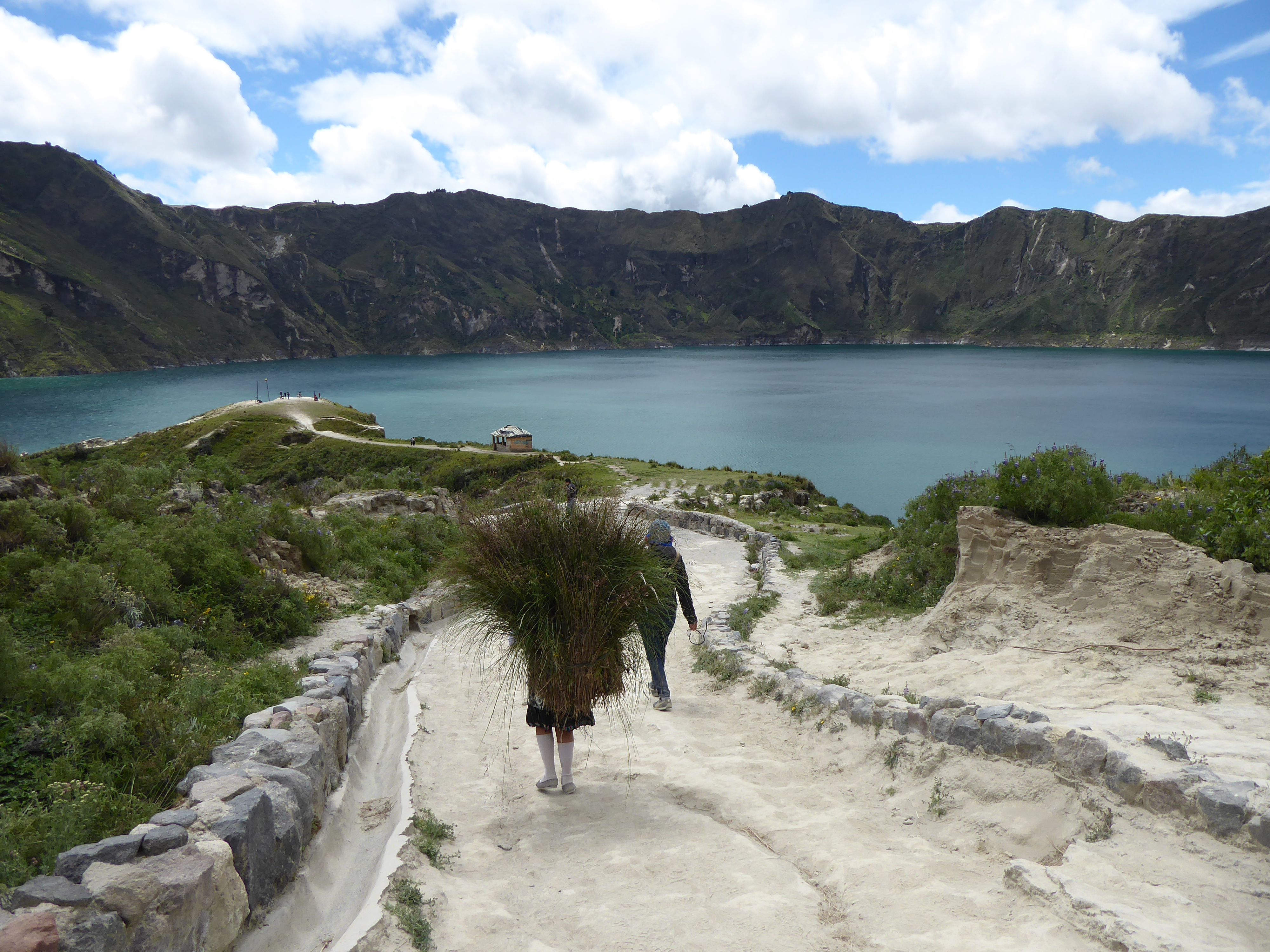
The crown jewel of the Quilotoa region is its crystalline crater lake. Extremely strong gusts of wind dissuaded me from walking along the crater’s rim, but the 400 meter walk from the rim down to the lake had its own challenges. The narrow, serpentine, loose path was very steep and walkers competed for space with the donkeys that transported tourists up from the bottom. After enjoying the view, I made my way back up with considerable effort and frequent stops. Passing me were the local men, women, old and young, and children who guided the donkeys up and down several times a day or carried necessities.
I spent the night in a comfortable hostal offering private bed and bath with a wood burning stove, dinner and breakfast for $15. There I met Faye, from South Korea, who was hiking to Chugchilan, about 13kms away, the following day. I was tempted and we decided to hike together.
Equipped with a map, and the maps.me app we set off around 10am. Faye confidently led the way. The beginning was not auspicious. Shortly into our hike some dogs came out from their domain and Faye was bitten. Frightened, but not deterred Faye now with a good bruise on her leg, decided to walk on. The dogs’ owners made amends by arming us with a sturdy stick to ward off any other aggressors. We picked up two more.

We verified our route with the family and continued hiking. The terrain was hilly. The path sandy and rocky. The landscape was dotted with small settlements of wooden and cement shacks and patches of crops. Signs with arrows confirmed our path as did the maps.me app. All seemed in order until we arrived at “a bridge” crossing a ravine. The “bridge” was a single tube that went the length of the wide gap hoisted with several vertical cables attached to a single cable above. Crossing it would require shimming horizontally along the tube with arms used for guidance and moral support. It was a daunting passage, but the well worn path on both sides gave us confidence. (I had seen people using similarly funky bridges in Asia.) “People must use this all the time.” I said.
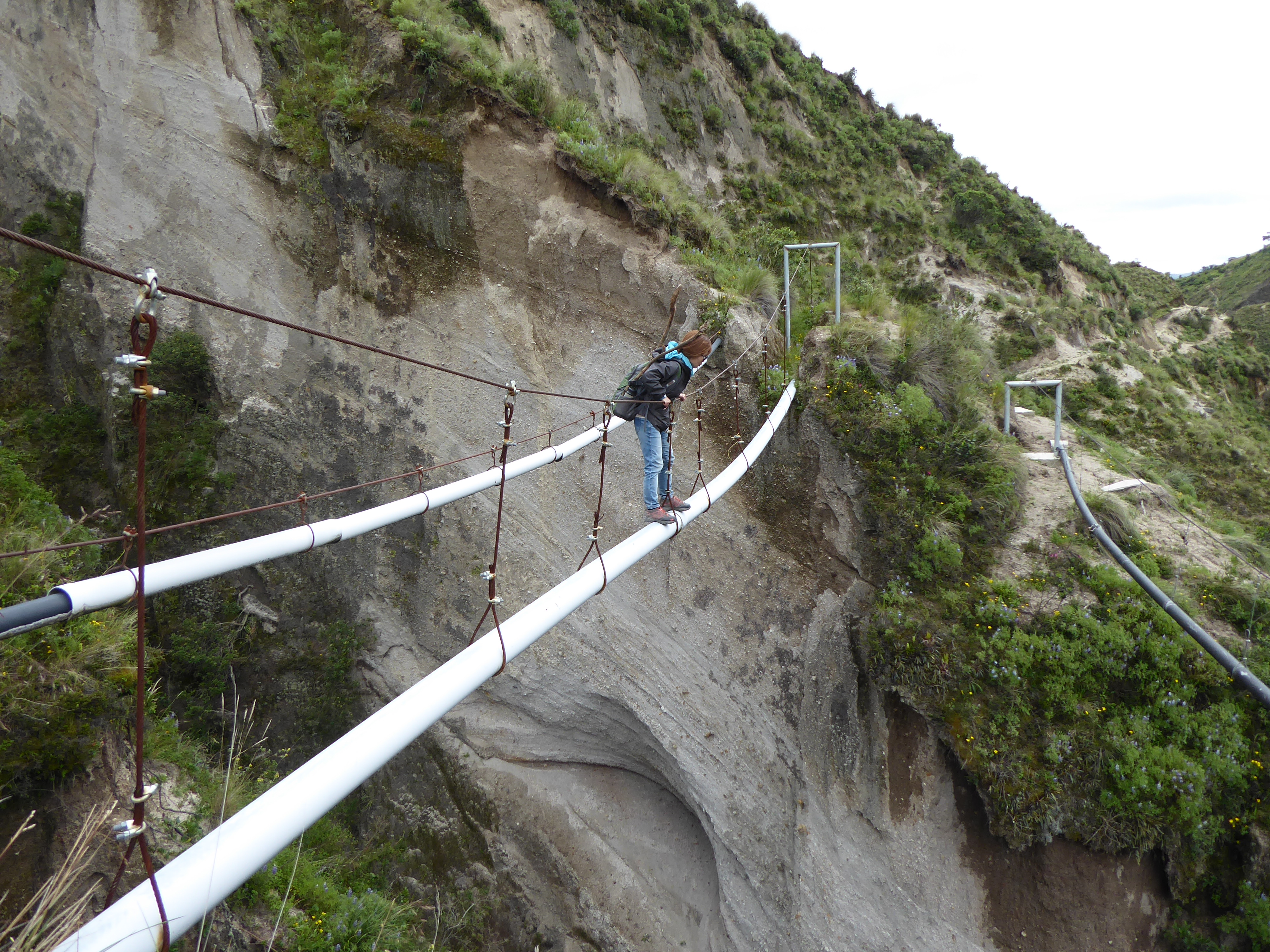
Faye went first. Standing about 4’10″(1.47 meters) she struggled to reach the cable above that sloped down toward the middle, but she got across. My going second gave me just enough time to get thoroughly spooked. The sway of the pipe did nothing to ease my nerves, but I too-with some much needed encouragement midway-got to the other side. We congratulated ourselves for our accomplishment and walked on–so elated as to not notice the precarious path we were embarking on.

Moments later the precipitous path could no longer be ignored. It narrowed to less than a foot in width with a cliff on one side and a very deep drop on the other. Adding further concern, the path itself with a tilt toward the abyss was loose sand of inconclusive weight bearing capacity. The situation was clear to me. We would not survive a fall. Faye wanted to forge on. Her small feet fit the path better than mine. My survival instincts kicked in. I wasn’t taking another step forward and the only movement I managed was with my mouth uttering a word beginning with F. Even the small patch of earth I was sitting on felt uncomfortably unstable. Talking with Faye calmed me, but I was not willing to walk on.

Unfortunately, the only alternative was traversing back over “the bridge”. Faye and I had different fears. I preferred the bridge to the path. The sky was darkening and rain would definitely make the path even more treacherous than I was certain it already was. It didn’t take long for us to agree-we made a good team-to go back over the bridge. I thought of Philippe Petit, who walked on a high wire between the Twin Towers, for inspiration. Faye prayed.

The crossing was without incident. We forged up some steep, but passable hills in search of a road. Some school children pointed us in the right direction and soon after we hitched a ride to Chugchilan.

Sharing our exploits with the driver, he concurred that we had been on the right path all along…until we showed him the picture of “the bridge.” “That’s not a bridge, that’s a water pipe!” I won’t describe the look of horror on his face.

We repeated our tale anticipating the-now that we were out of danger-amusing reactions of dismay. We were not disappointed. The photos clinched it. (People asked to take photos of our photos to show their friends.)

“You’re safe now.” one man kindly conceded. “That’s all that matters,” he added. When we tried to justify our choice by repeating the advice of the locals and following the signs, we learned the path had become too dangerous from erosion. “It’s suitable for goats, not people.”

But why the path came to and continued beyond “the bridge” remains a mystery.

I slept relatively well in Chugchilan that night relieved that disaster had been averted but questioning my judgment at arriving in such a predicament.
QUILOTOA LOOP: Tigua

I left Cotopaxi for Latacunga-a small city with a charming colonial center-for closer access to the “Quilotoa Loop.” Although the greatest appeals of these trails are the Quilotoa crater lake and hiking from one indigenous community to another, it was also possible to visit most of the way by bus. (Buses are a vital network supplemented with paid and free hitchhiking.) This was my intention.

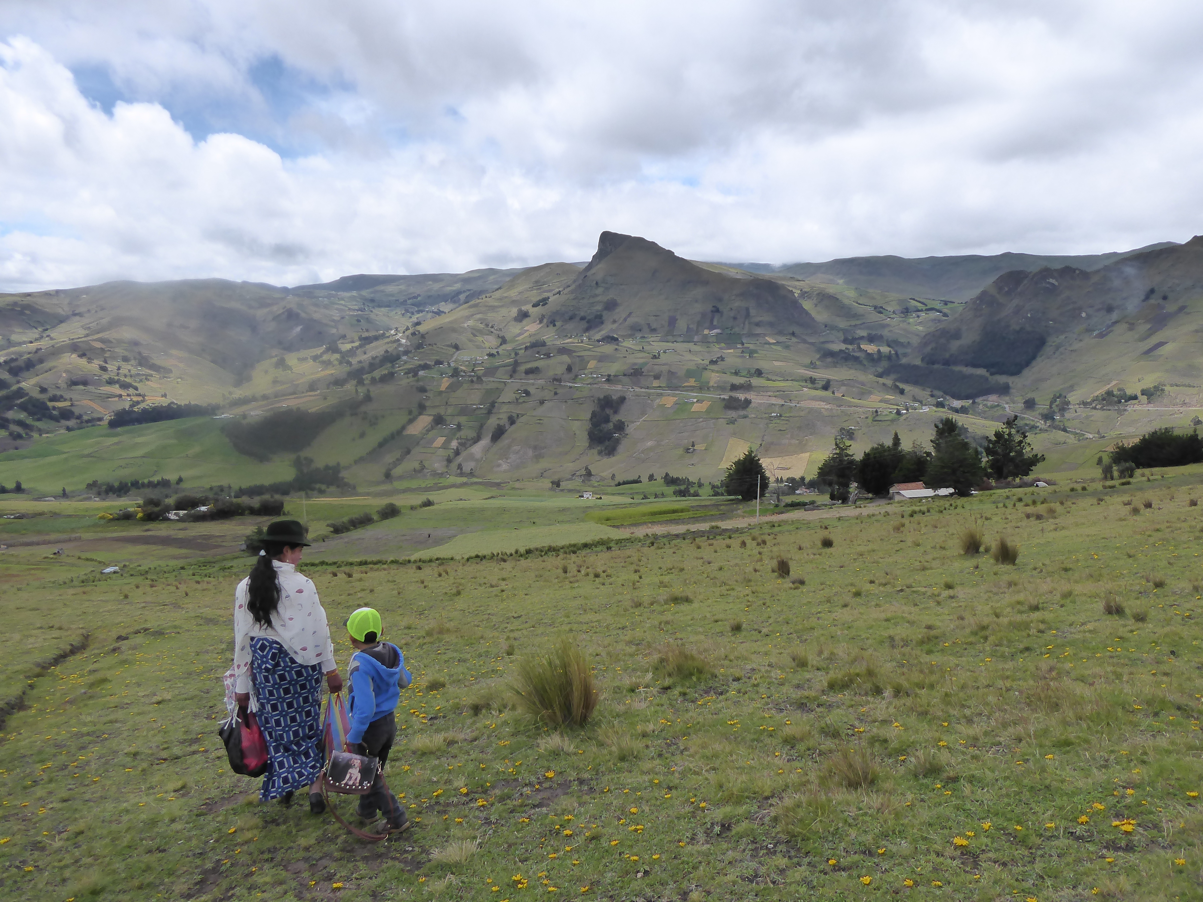
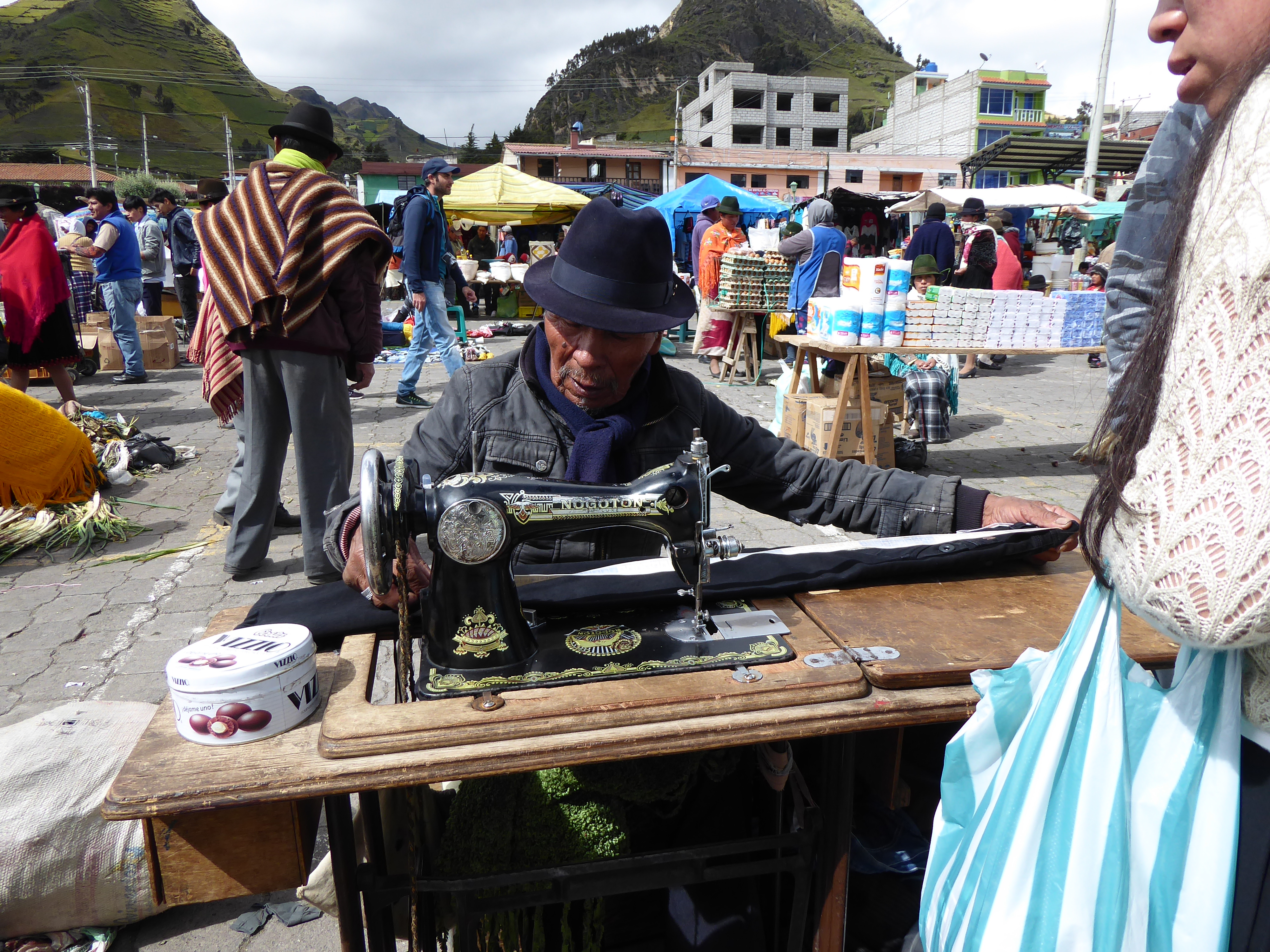
I made a reservation in Tigua at a working dairy farm to spend the night, about two hours from Latacunga and stopped in Zumbahua for the notable Saturday market. Locals come to buy and sell goods and perform services. Many of the indigenous people of Ecuador are Kichwa, speaking a language of the same name. Like most first people, they have suffered exploitation, discrimination and make up the majority of the poor. Seeking refuge during colonization many still reside outside the towns they created, living off their crops and livestock. Their dress, particularly the women, is often traditional: colorful shawls and skirts. The men are more eclectic in their attire. But almost everyone dons a hat.

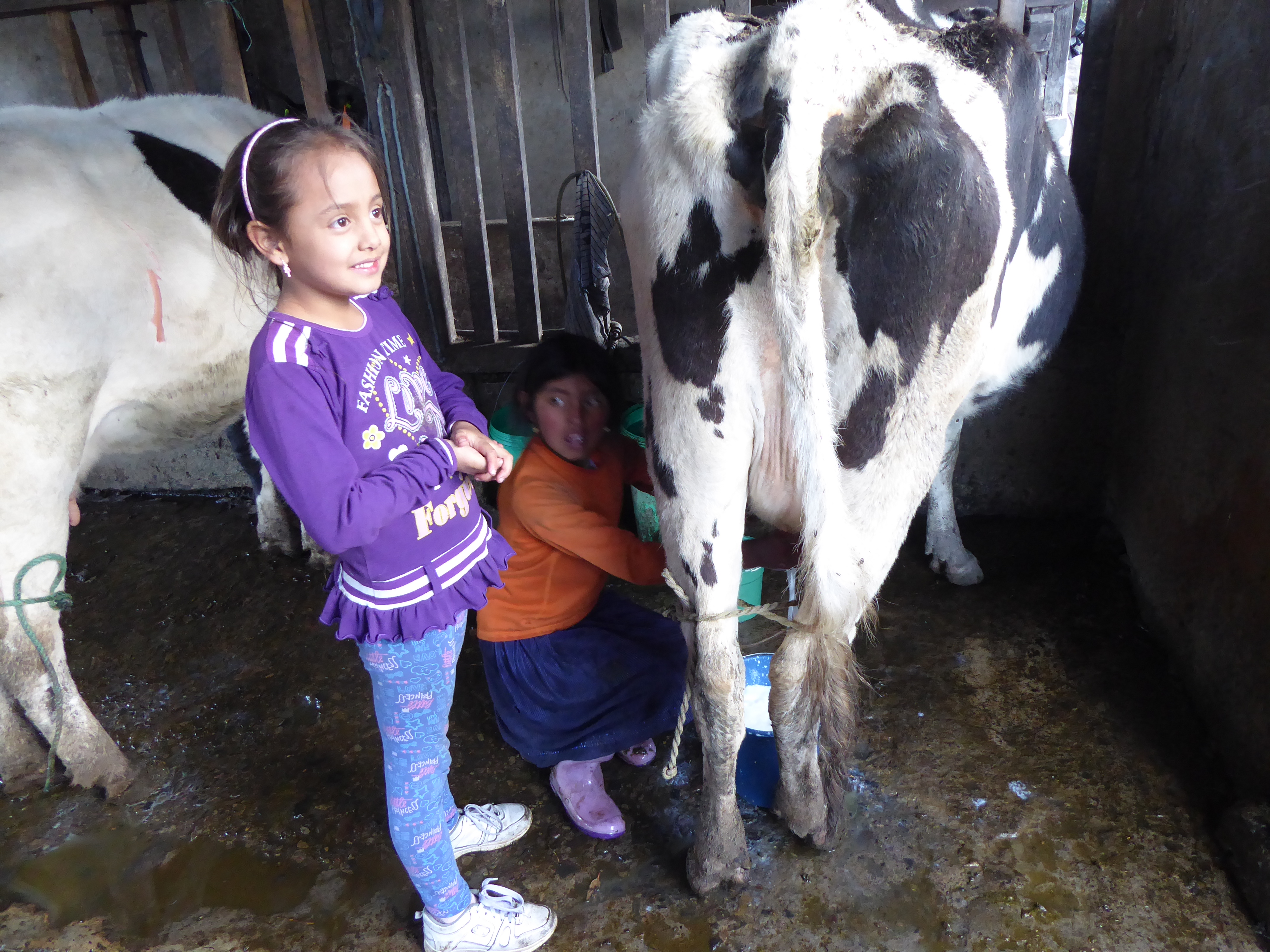
The dairy farm is owned and run by a sixth generation man of Spanish origin. His well-dressed, clean wife and daughters, playing with their pet St. Bernard was in stark contrast to his staff. They were an indigenous family living in a nearby, simple dwelling protected with plastic sheets for roofing. Those daughters ten and fifteen wrangled and harnessed cow after cow, sat on small stools, their clothes muddied, as they filled buckets of milk moving their hands deftly for hours. The owner’s daughter amused herself by filling a small glass of milk from a cow that would soon yield a bucketful from still young, but more expert hands.

COTOPAXI, ECUADOR

I reserved two nights at a hacienda in Cotopaxi, an expansive national park of flatlands and hills with golden-green brush: a land of wild horses, condors, lagoons, and cattle, with looming active and dormant volcanos. Getting there from Quito (a mere 41kms away) required an hour taxi to the city’s southern bus terminal, then nearly two hours of bus (there are frequent loading and unloading of passengers) to Machachi. I was dropped off on the side of the Panamericana (the appropriately named highway that travels 30,000 Kms through North, Central, and South America). Crossing the highway to enter the town a large statue of rearing bronco and rider greeted me.

On the narrower street were a few tiendas(small shops) and not much else. I asked a man about a taxi and he told me one would come by. Sure enough a white pick-up truck pulled up, but when I gave the name of the hacienda “Chilcabamba” the driver gave me a blank look. He kindly assured me someone else would know where it was. But a few more inquiries met with the same blank look.

I was told the ride would cost from $25 to $30 to travel the very poor road an additional 16kms. So when a driver finally “knew the place” and offered to take me for $15, I was pleasantly surprised.

The cobbled and rutted road through the small communidads was very slow going. Manuel, the driver maneuvered between the paths of least resistance-a bumpy, unsteady ride that challenged his talents of navigation. After a while, he stopped an on coming motorcyclist. Having lived in the area his entire life I thought he was greeting a friend. It soon became clear he was asking directions to Chilcabamba. It would be another slow and steady slog before we finally reached my destination. He conveniently didn’t have change for my $20. I didn’t press the issue.

I settled into my room warmed with a wood burning stove. The bed had several blankets. Mornings, once the fire went out would be chilly.

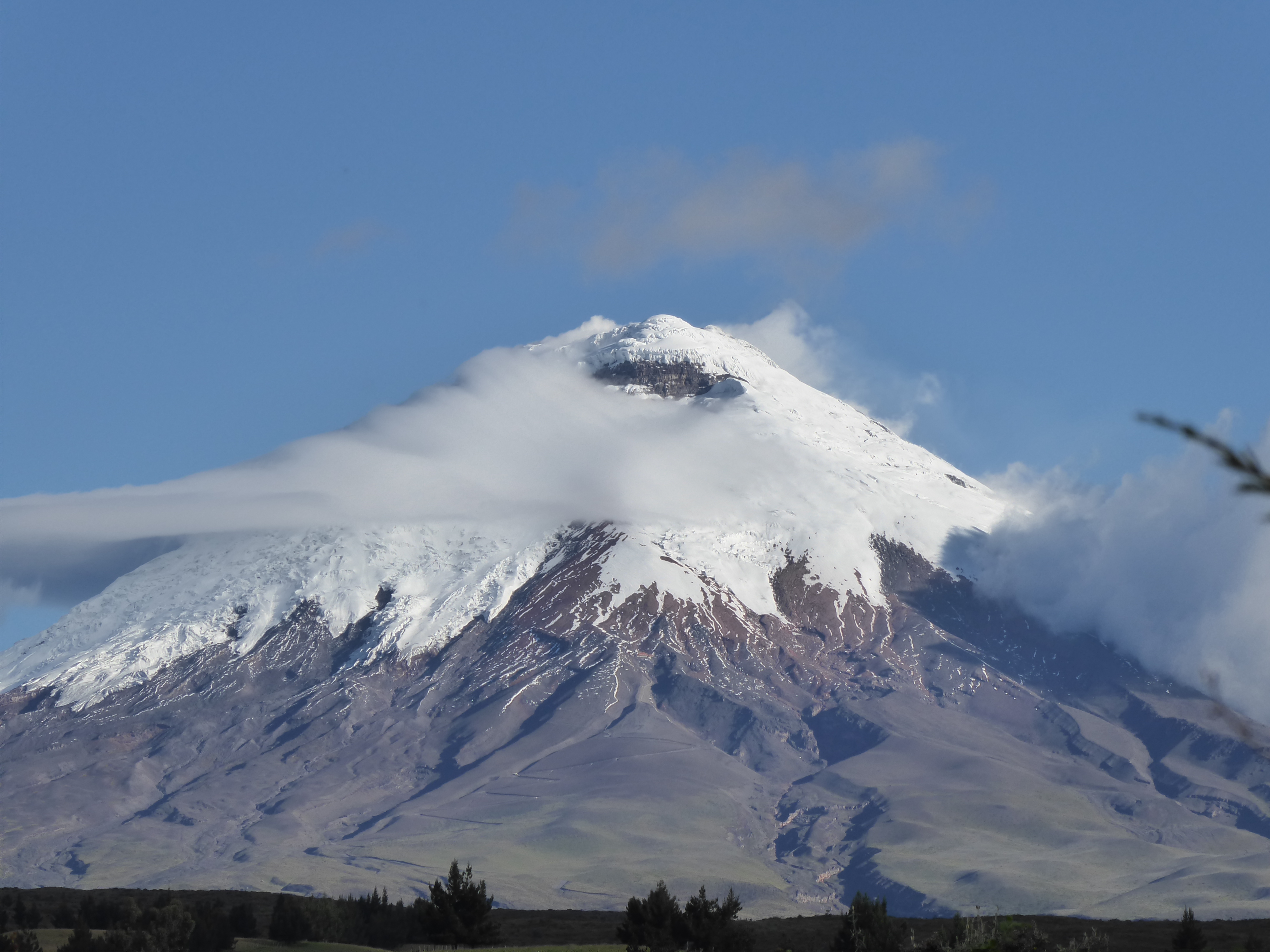
Volcán Cotopaxi is an impressive sight. Her snow capped peak stands at 5897 meters and bears a coquettish air often veiled in clouds. She is alive and well and showed signs of life in 2015 restricting access to her summit-a disappointment for hardcore climbers-but I had no intention to climb her. (Residents live with the threat of her eruption and evacuation routes with warning signs are displayed throughout the area.)

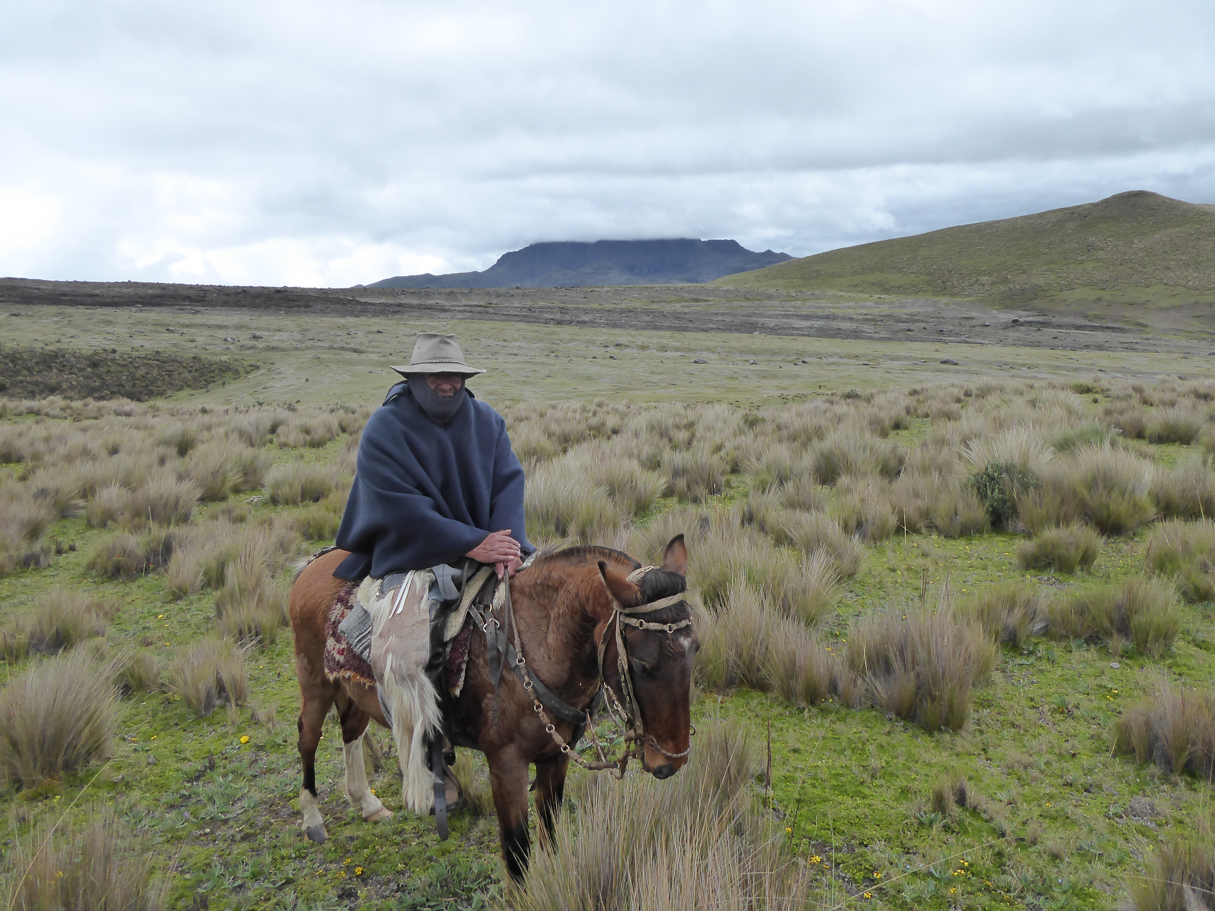
I was here to ride horses and arranged for a three-hour ride with Rafael. I was invited to wear a wool poncho, similar to his, and donned it awhile to ward off the chill, but found it cumbersome and resorted to my down vest and Goretex jacket. Thus when we approached a small group of riders all wearing ponchos I assumed they were turistas too.

As we neared, all the men had the brown tinted skin of the locals. Their ponchos were tightly woven, their rubber boots fit securely in the stirrups and their postures spoke of a knowledge in the saddle that my body was doing its best to recall. Rafael chatted awhile and learned these chagras (cowboys) were on the lookout for a stray bull. Their pack of dogs happily accompanied them while chasing rabbits.

Rafael and I rode the rest of the time seeing no one, despite covering many miles. My horse was responsive and sure-footed. The wind blew in hearty gusts and a mist of rain came and went. A fog shrouded the scenery drastically reducing our visibility before lifting to reveal the stark, hilly landscape.

In the distance, circling above, were birds soaring, large and far off all at once. Only condors offer such an impressive sight. Their nearly 3 meter wingspan offer a grace and majesty incongruous with their ungainly bodies and grotesque heads. It was a charmed viewing.

A hot shower was welcome after my ride. I spoke with a Swiss couple at dinner and went to bed not long afterwards content to gaze at the warming flames from the well-stocked stove.

I remained in Cotopaxi a total of four nights to ride again, hike, and enjoy the vistas before heading on to Latacunga.

Volcán Cotopaxi slept the entire time.

To be continued…

OTAVALO, COTACACHI and back to QUITO

I loved Mindo and it was tough to leave but I do not miss the hungry insects.

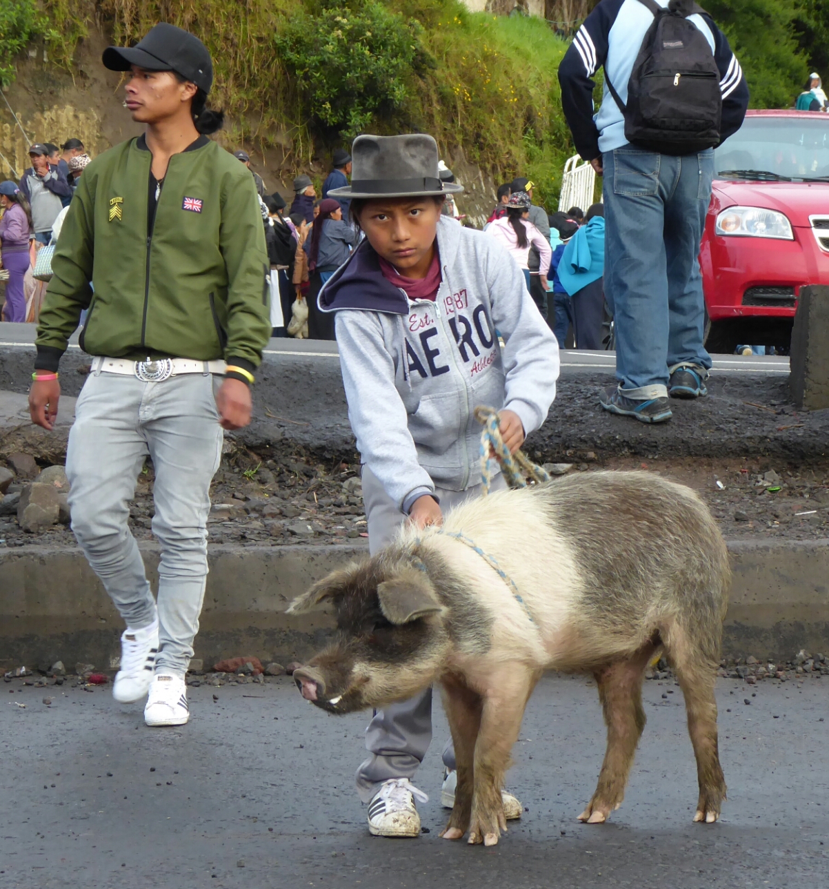
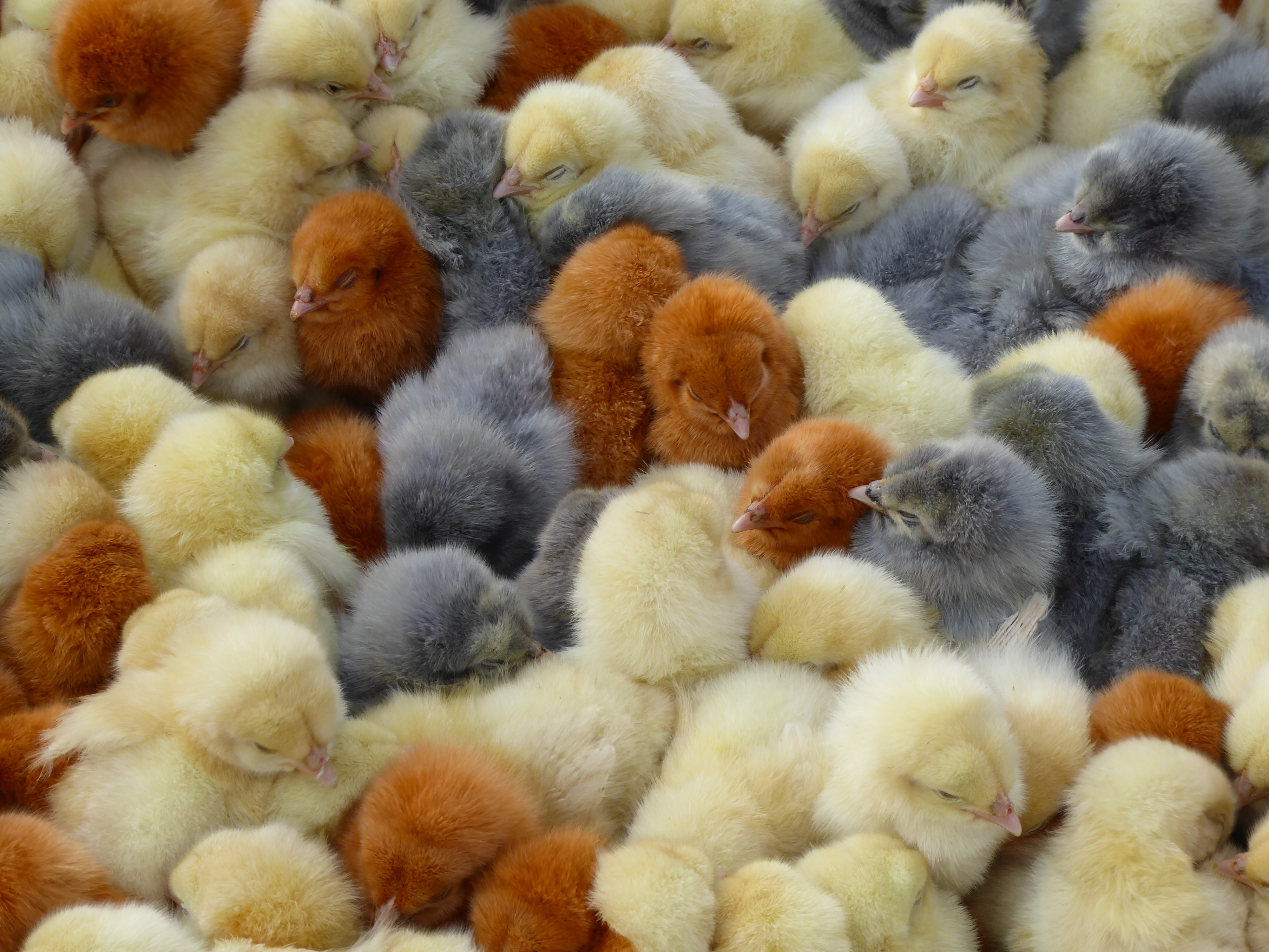
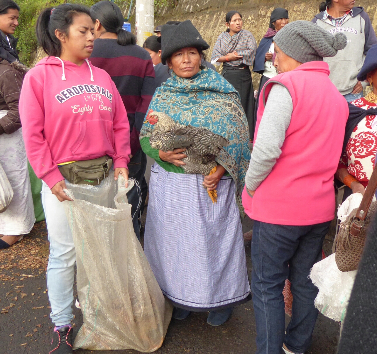
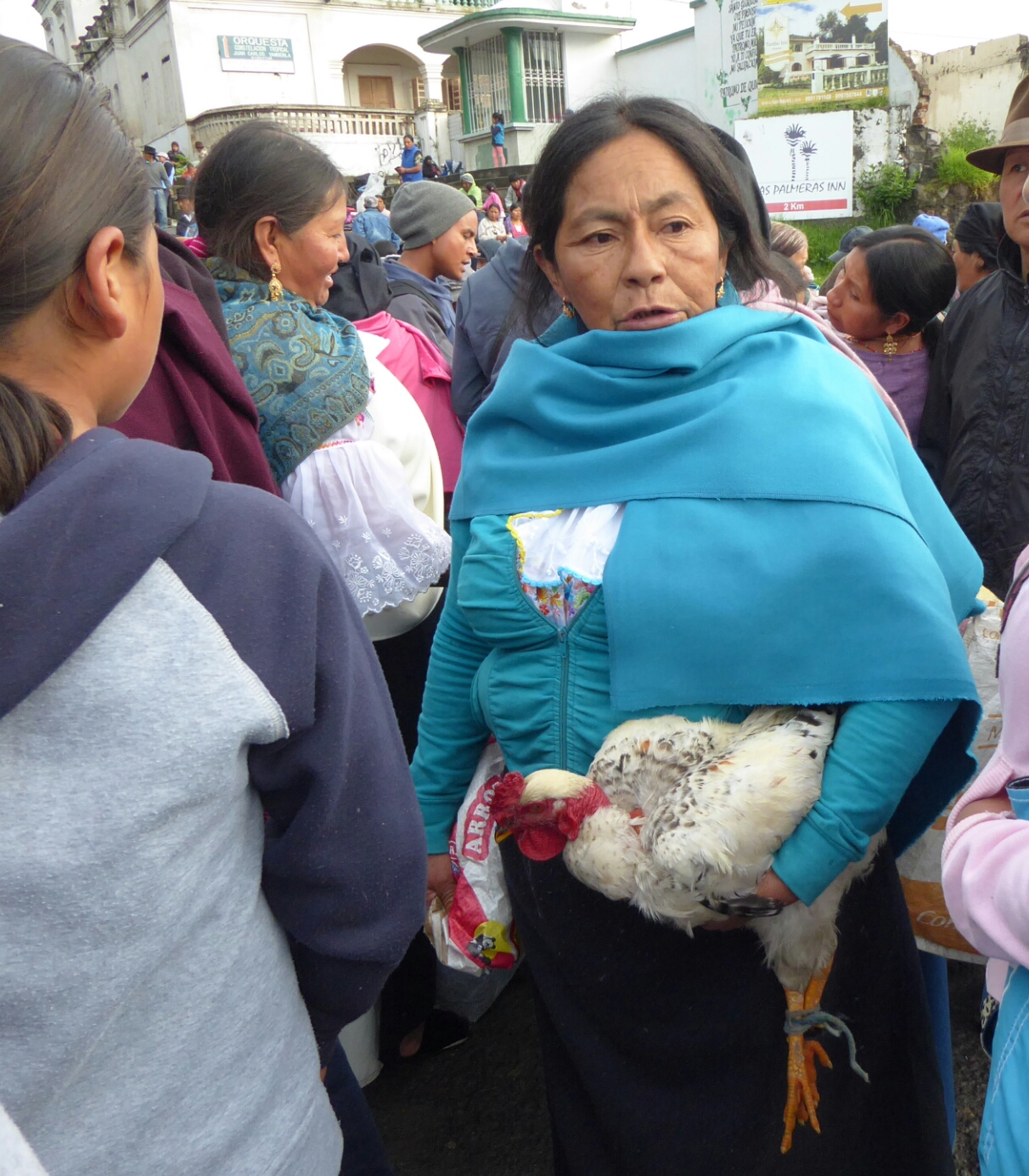
Arriving in Otavalo was more city than I was prepared for. Cars! Buses! Noise! The highlight is the Saturday Market for animals which makes one question her consumption of meat. Pigs, sheep, cows, chickens, roosters, ducks, guinea pigs, are bound, bagged, tethered, and treated like the soon to be dinners they are. A bit tough to watch from the sanitized supermarket culture I’m accustomed to, but the market offers a glimpse of the reality few of us think about.

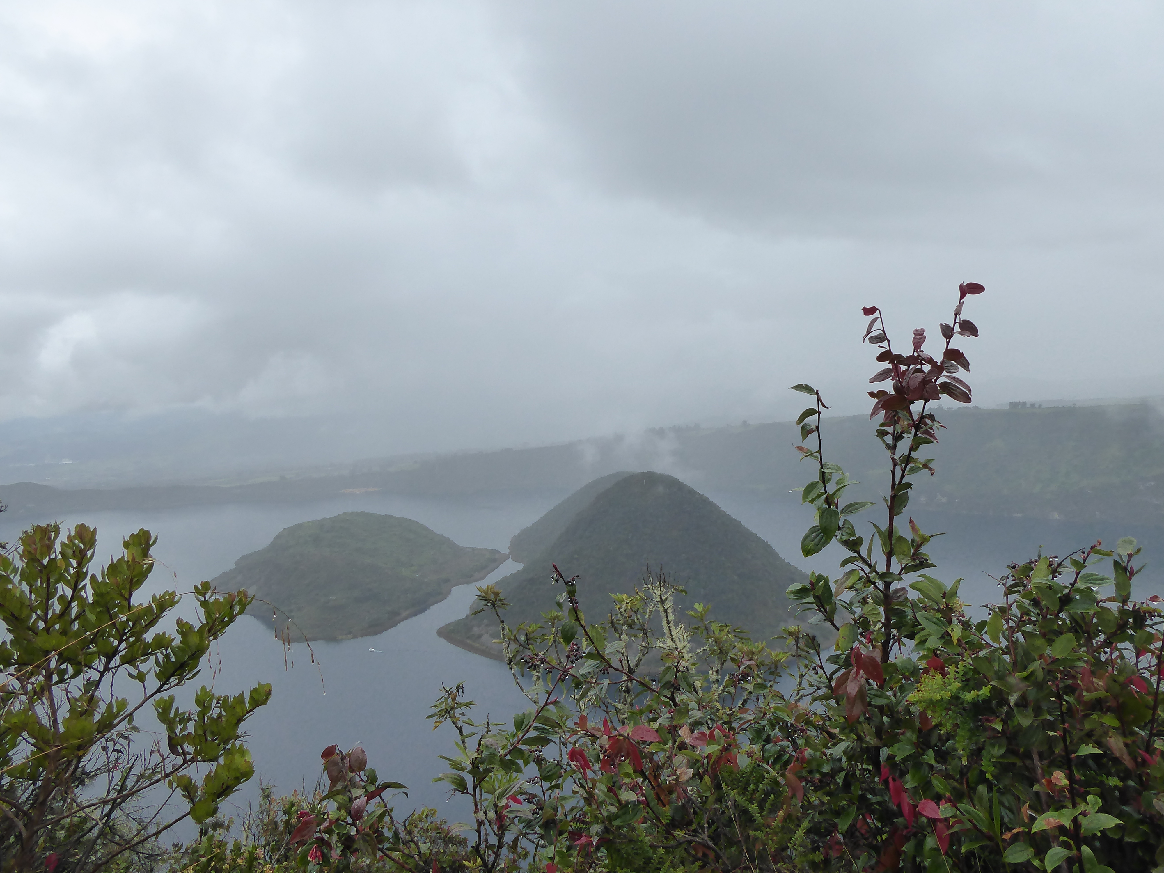
I took a 16km hike around Lagoona Cuicocha in a torrential downpour (Rain seems to be everywhere.) The views, when visible between raindrops, were gorgeous. I was told it was highly recommended to go with a guide, “the path was tricky” so I sought out a trekking agency and they provided me with an indigenous guide. He was barely an adult. The path was tough with lots of ups and downs, but extremely well marked. It was my guide’s second time around the lagoon (I appreciated his honestly). He was able to answer some of my questions, using as few words as possible, and was content to walk behind me the entire time. I never heard his feet touch the ground and he only spoke if spoken to, so ultimately it was as if I was there alone.

The following day I walked from Otavalo, beside an infrequently used rail track (the locals walk on the tracks), to a waterfall in Peguche. The waterfall is in a spacious verdant park with trails and camping. Indigenous people offer tasty meals (trout, pork, chicken) to the tourists in ancient looking eateries that were actually new, on grills or large pots over wood fires. After a filling delicious meal of steamed trout I visited a funky little museum with photos of Otavalo and the surrounding area one hundred years ago. Life has changed and remained the same.

For two dollars I was invited to visit a cave “built by the Incas, then used by the Spanish” for “meditation.” The inside decorations of faux flowers was kinda hokey-but I stayed awhile for some peaceful contemplation. I enjoyed conversing with the people in the park about life and such. They were very friendly and curious, and since there were very few visitors seemed in no hurry.  Throughout Ecuador I am always asked the same questions: Traveling alone? Married? Children? Do you like Ecuador? How long are you staying?  But this time I was asked: How old are you? Are you here to buy property? I only answer the questions I wish to. One man knew of President Washington and asked about the president today. The name Trump meant nothing to him. It was refreshing.

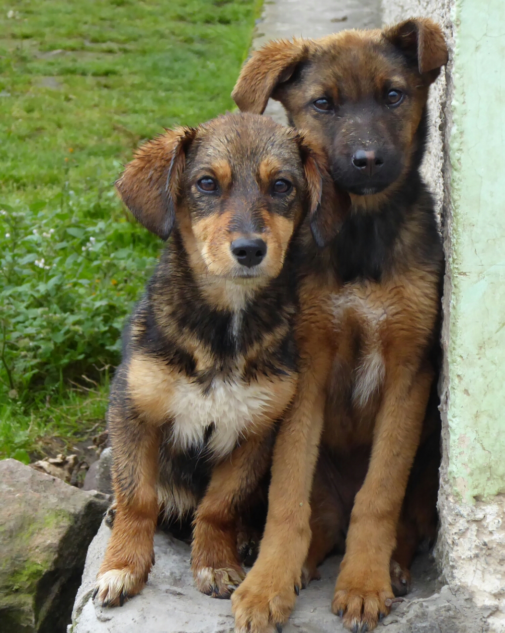
I continued walking up the road through some indigenous communities where numerous dogs greeted me with various degrees of friendliness. Don’t let this photo fool you. Some can become quite territorial. I picked up a few hearty rocks to ward off one aggressive hound and pretended to throw one. It quickly retreated.

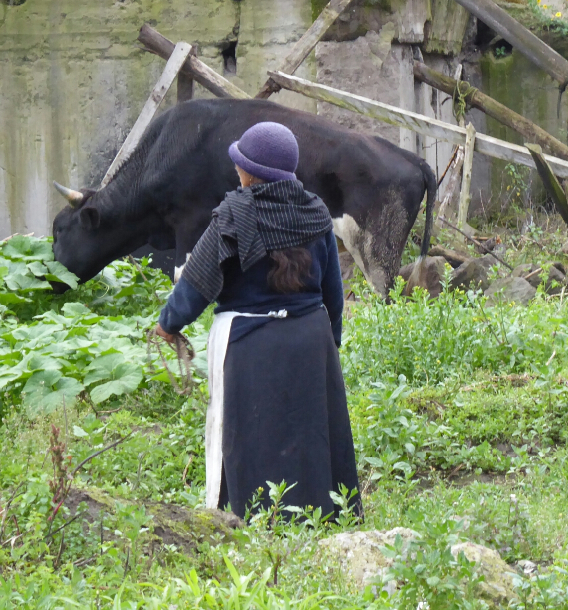
Later, I was struck by the image of a woman grazing her cows and wanted to take her photo, but was too far to ask permission. I snapped a shot and thought she was displeased. I waved in apology. But I was likely mistaken. Shortly after we were chatting like old friends. She made the motion to speak first. After asking where I was from, she asked if my parents were still alive. We sympathized our common loss. It was a novel way to start a conversation but it was also very touching. As I waited for a bus back to Otavalo we spoke of family and cows.

I then decided to spend two nights with an indigenous family outside of Cotacachi. Mom, Mercedes, dad, Mario, two daughters (22 and 18) Isabel and Diana and their sons (4 and 2) Ally (who I thought was a girl given his plaited hair then realized the men wear one long braid down their back.) and Dylan (Bob Dylan was an unknown.) son-in law Jimmy(18) who could have been a model, three dogs, cows, chickens, pigs, and guinea pigs. The home was basic but the bed was extremely comfortable and the Volcano Cotacachi loomed large from my window.

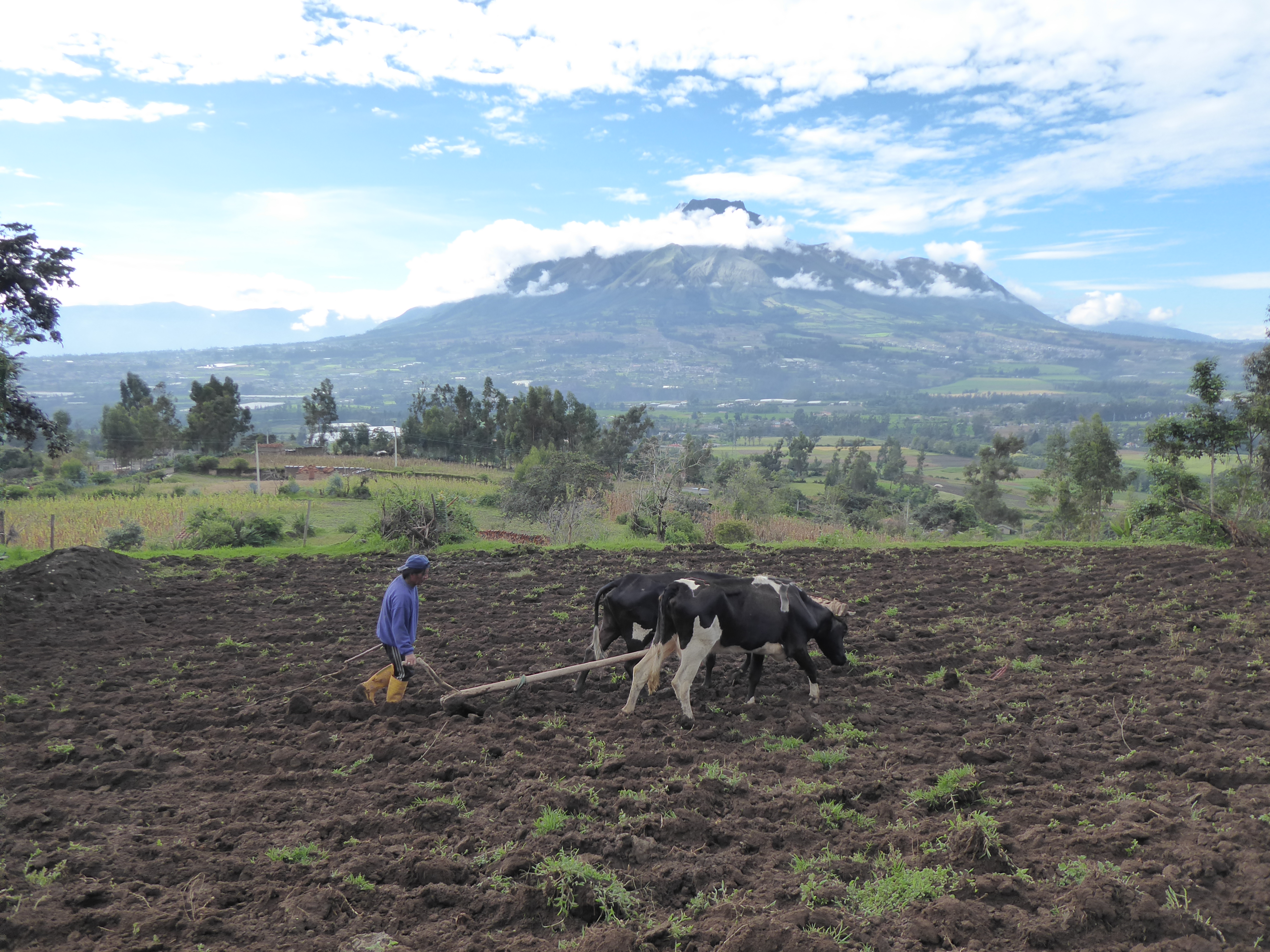
I helped make tortillas on an open fire and attempted with little success to milk a cow. Mario was trying to have me “cured” of any ailments by seeing the local shaman at $30 a visit. He uses a guinea pig for diagnosis. Mario spoke of other tourists being cured of cancer after two visits. I finally convinced him that I was fortunately quite healthy. The children attended high school and university. The parents toiled from sun up to sun down- tending the livestock, plowing the field with two cows no differently from centuries past, drying corn, making large pots of soup on open flames, and a multitude of other daily chores. They stopped to eat, sleep, and converse with me.

Cotacachi is a Mecca for retired Americans living on Social Security benefits. It had a strange vibe between the gringo and local culture. But the retirees I saw seemed quite content chatting in various American accents over their American breakfasts.

Needing a few days to figure out what to do next I decided to head back to Quito and see sites I missed the first time around: The exquisite Casa del Alabama offering a fine collection of Pre-Colombian art and the impressive gold filled church-La Compañia were outstanding.

I think my next stop is Cotapaxi in the hopes of doing some riding. Hopefully the rain gods will soon be appeased!

MINDO: Natural Wonders

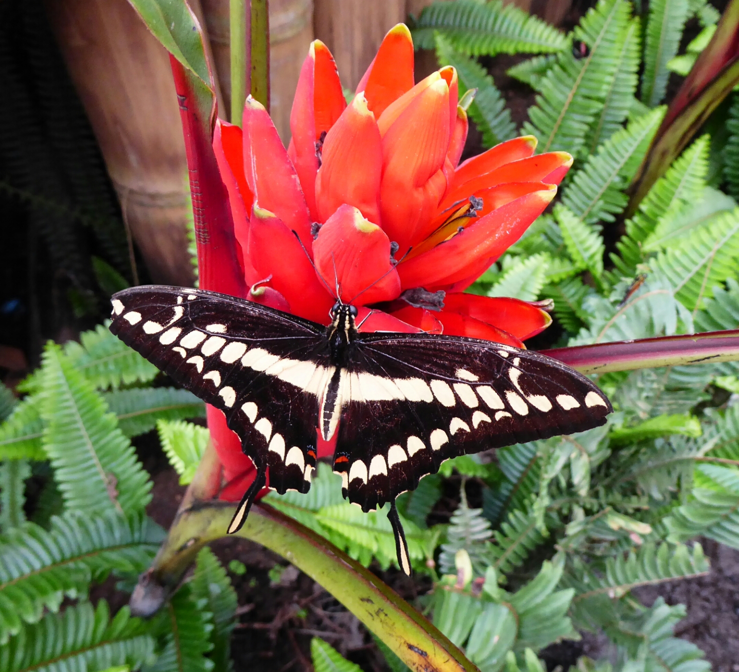
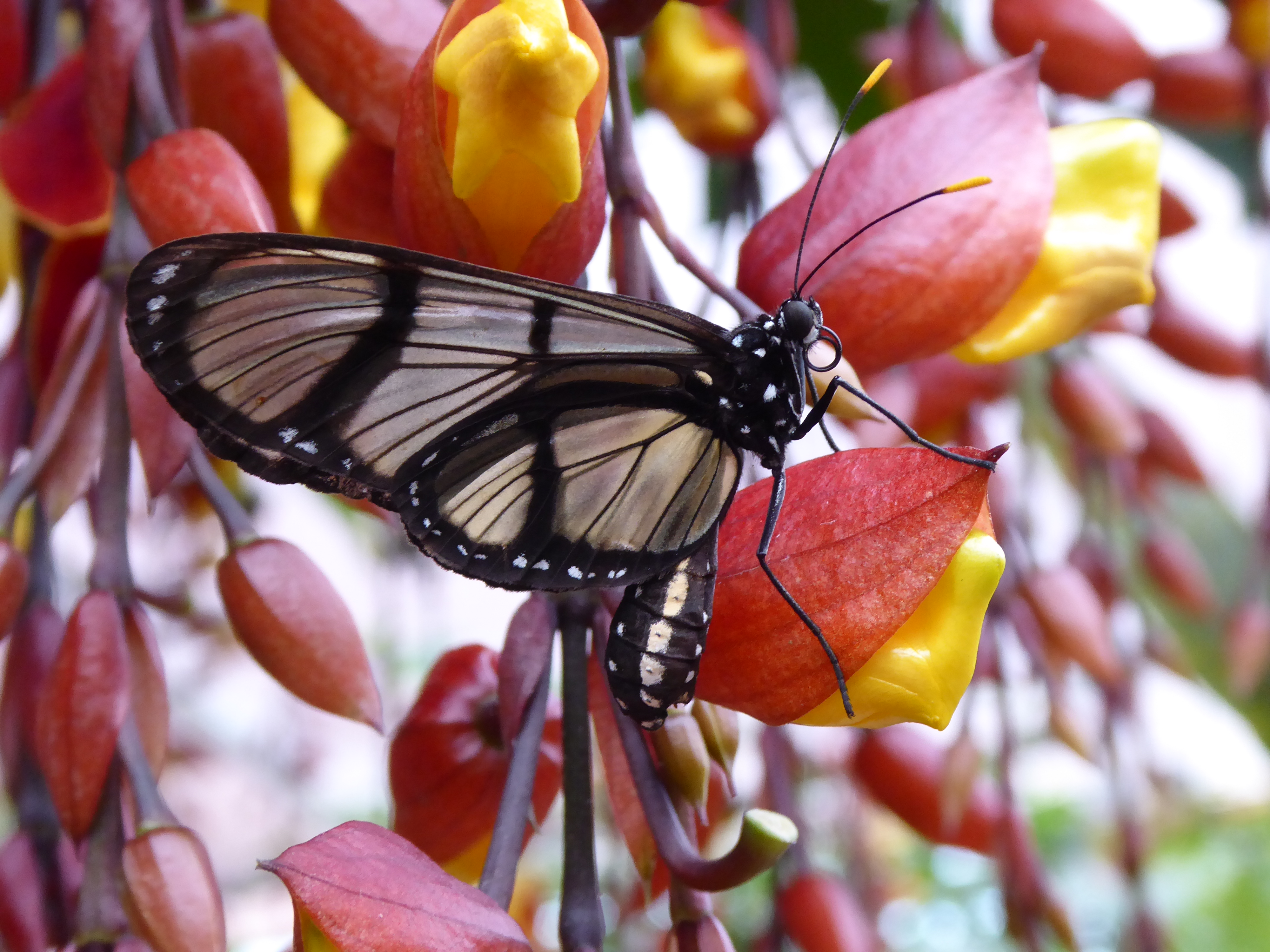
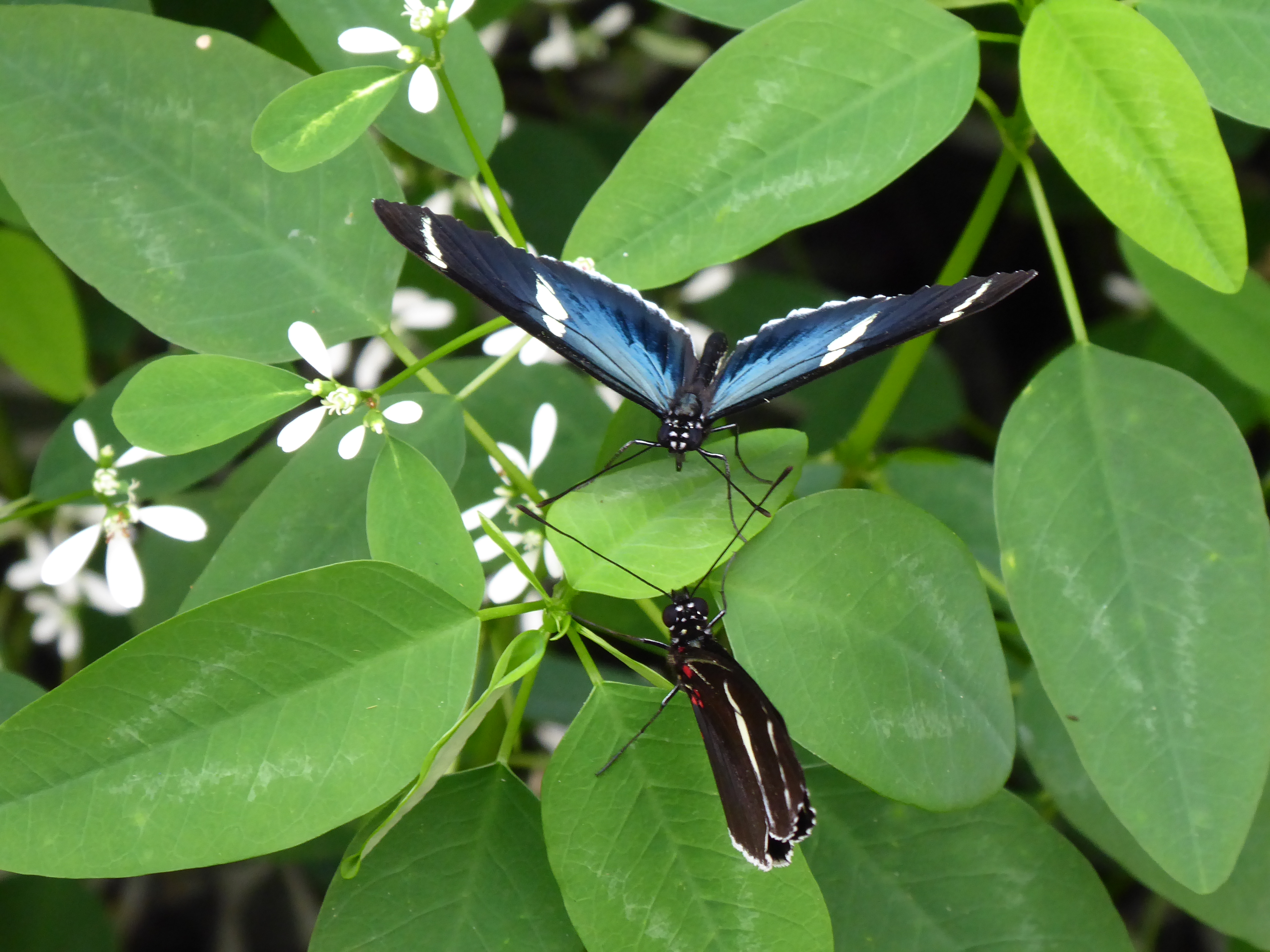
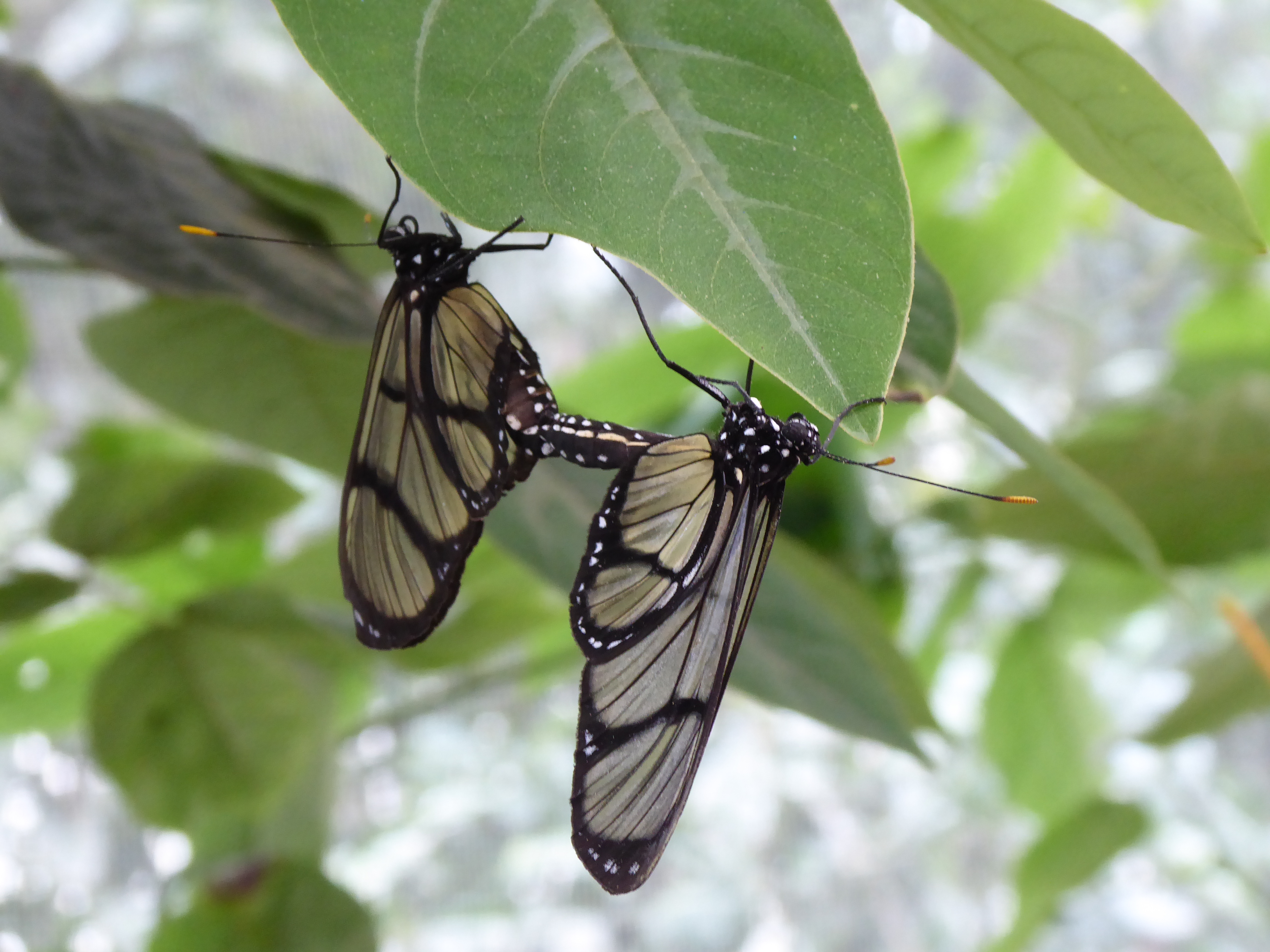
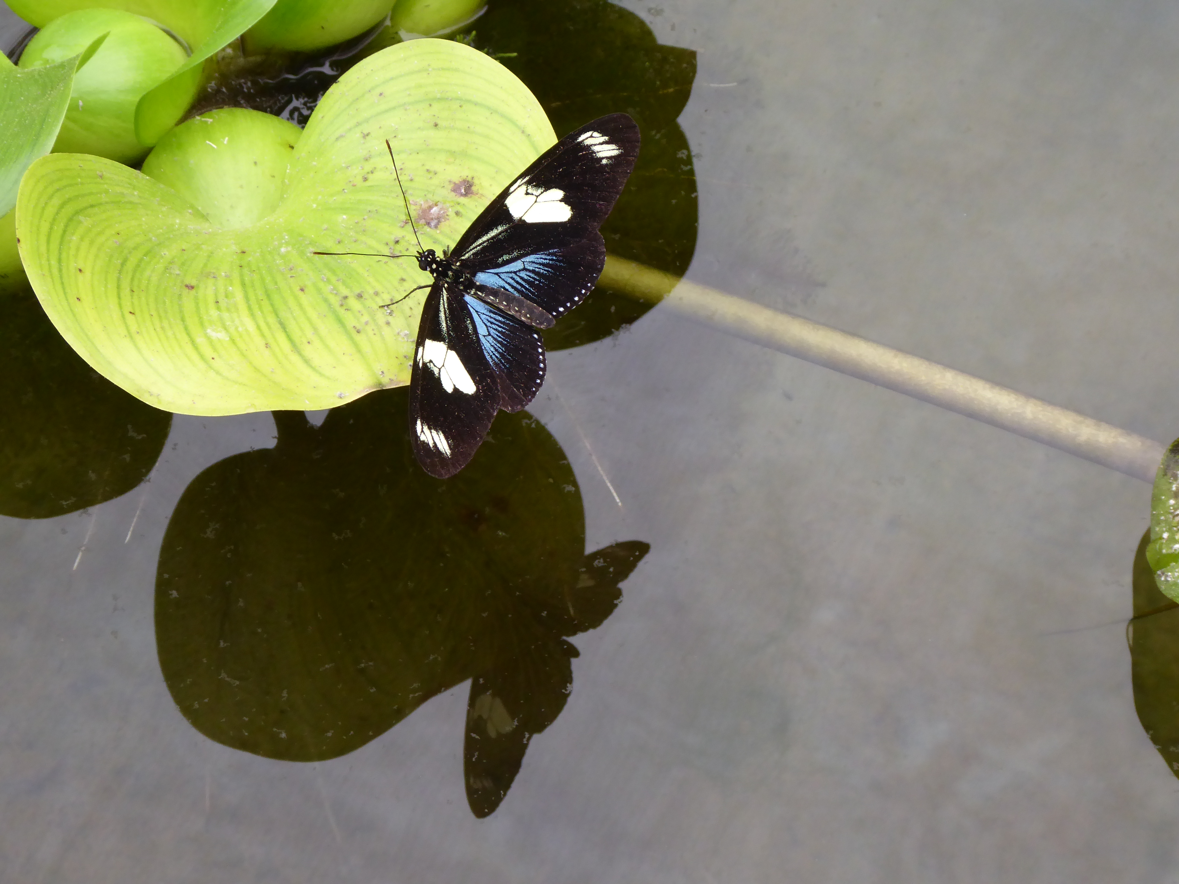
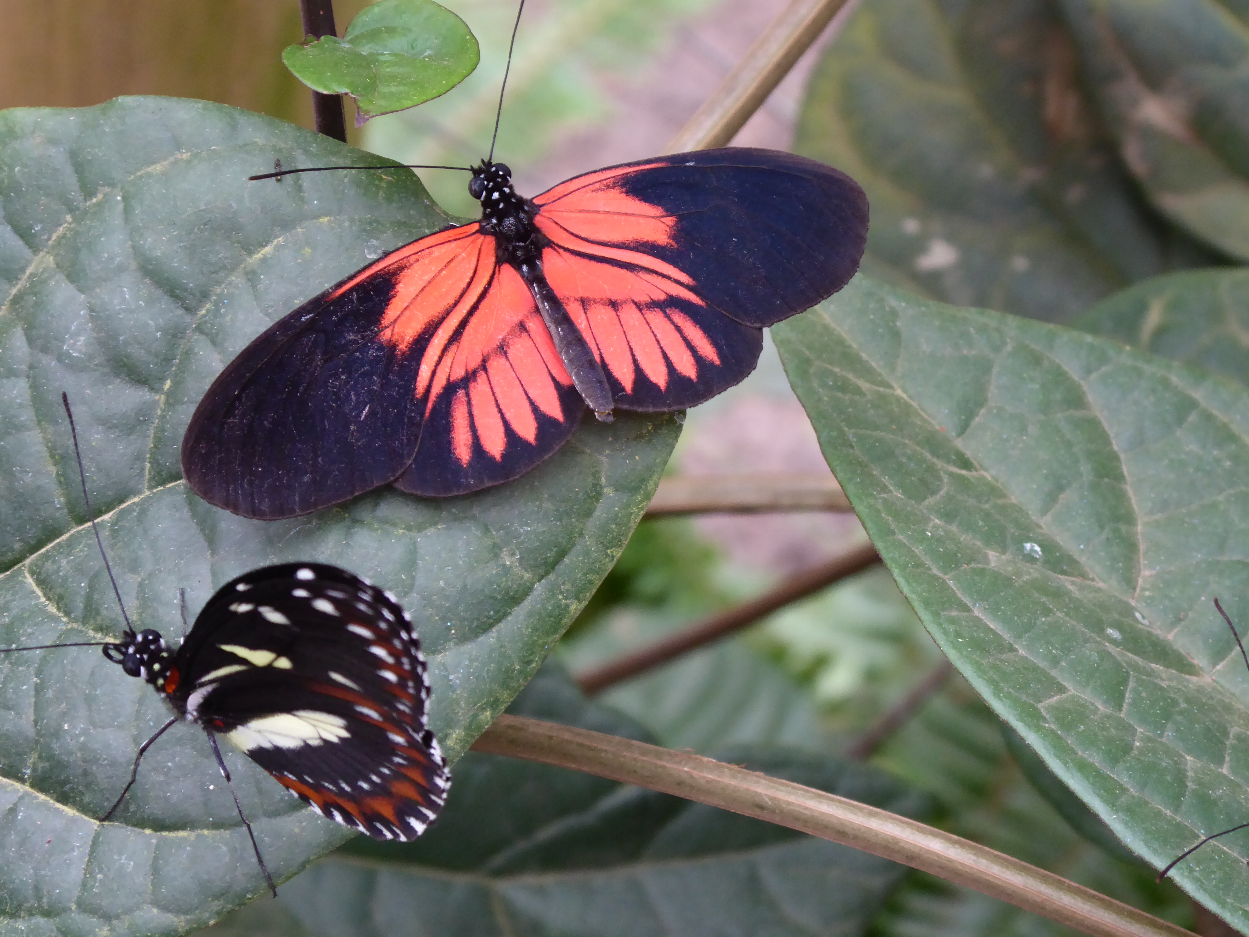
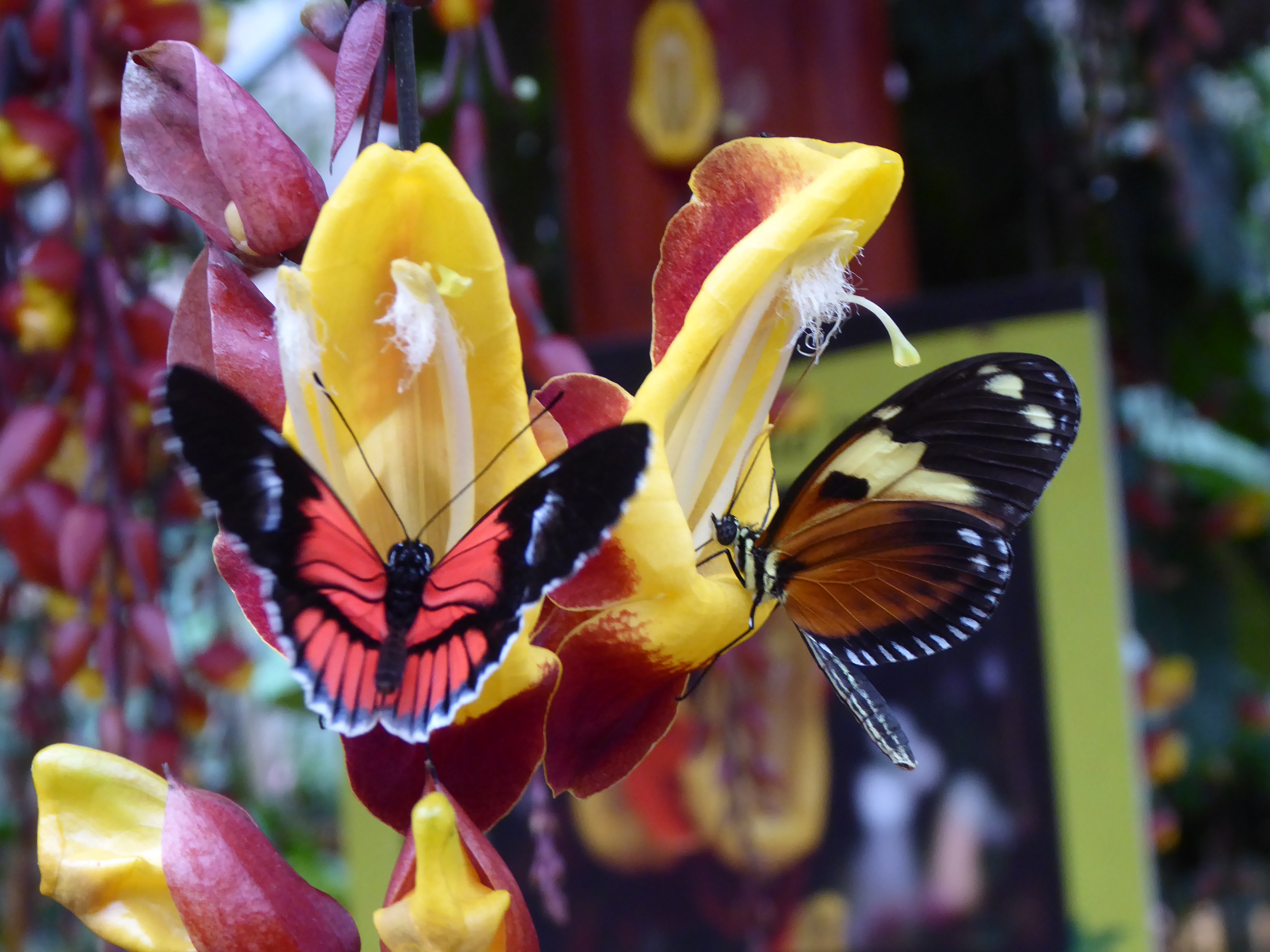
Mariposas de Mindo housed hundreds of butterflies to admire, feed, sit by, and photograph. The colors and sizes varied, but my awe of their beauty did not.
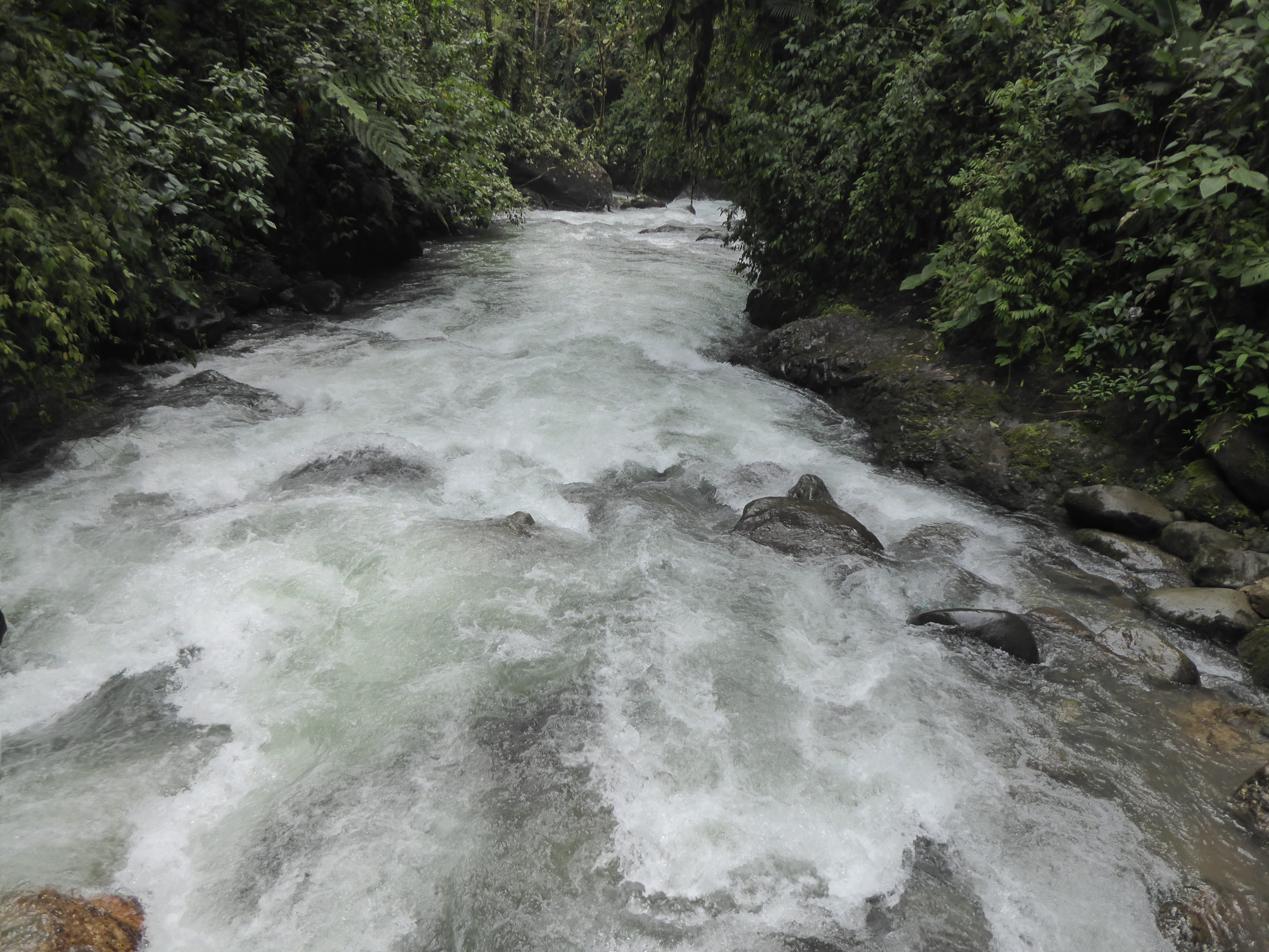
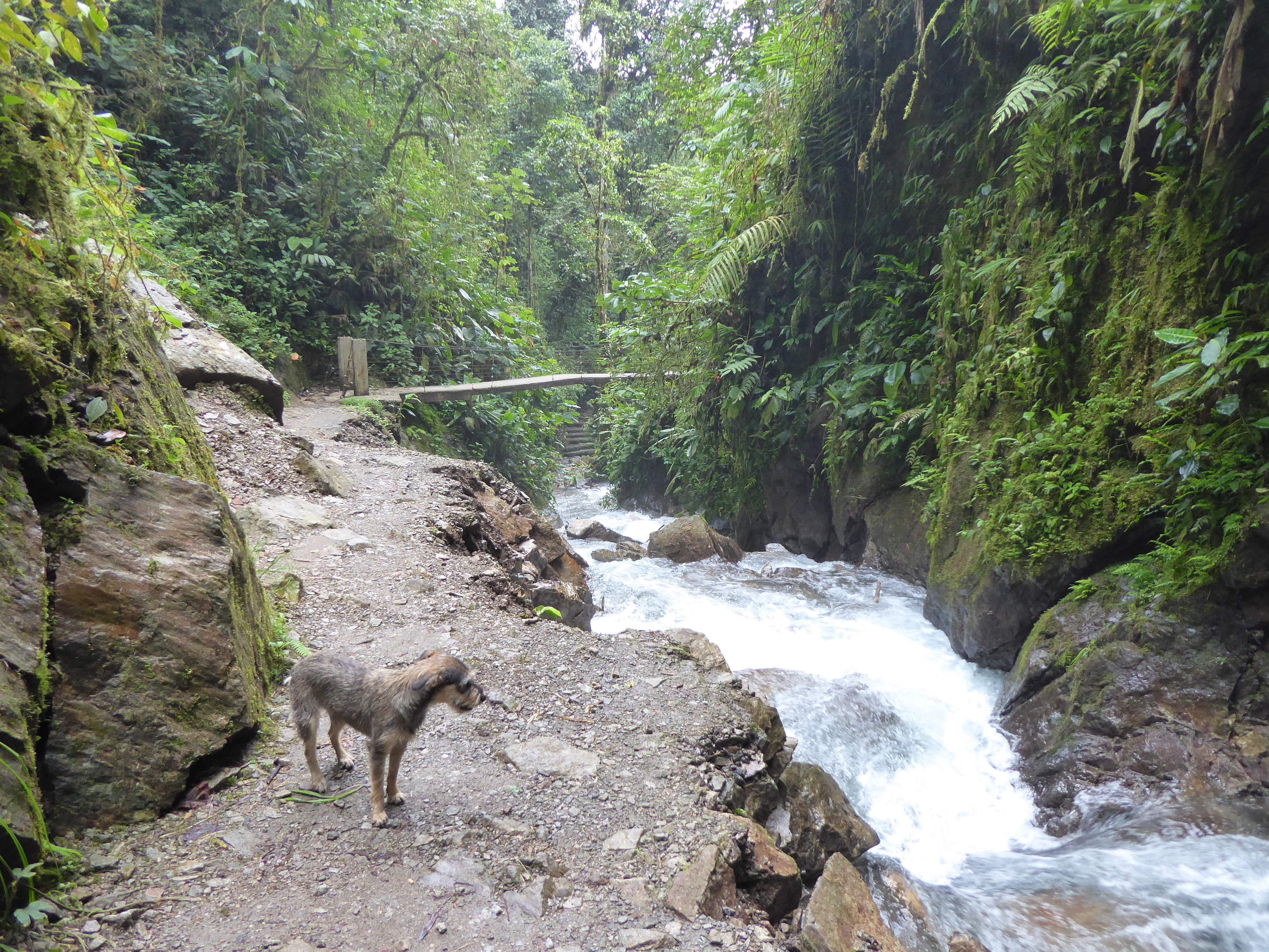
The 2 km walk from the road to Las Tangaras Reserve was a small adventure.
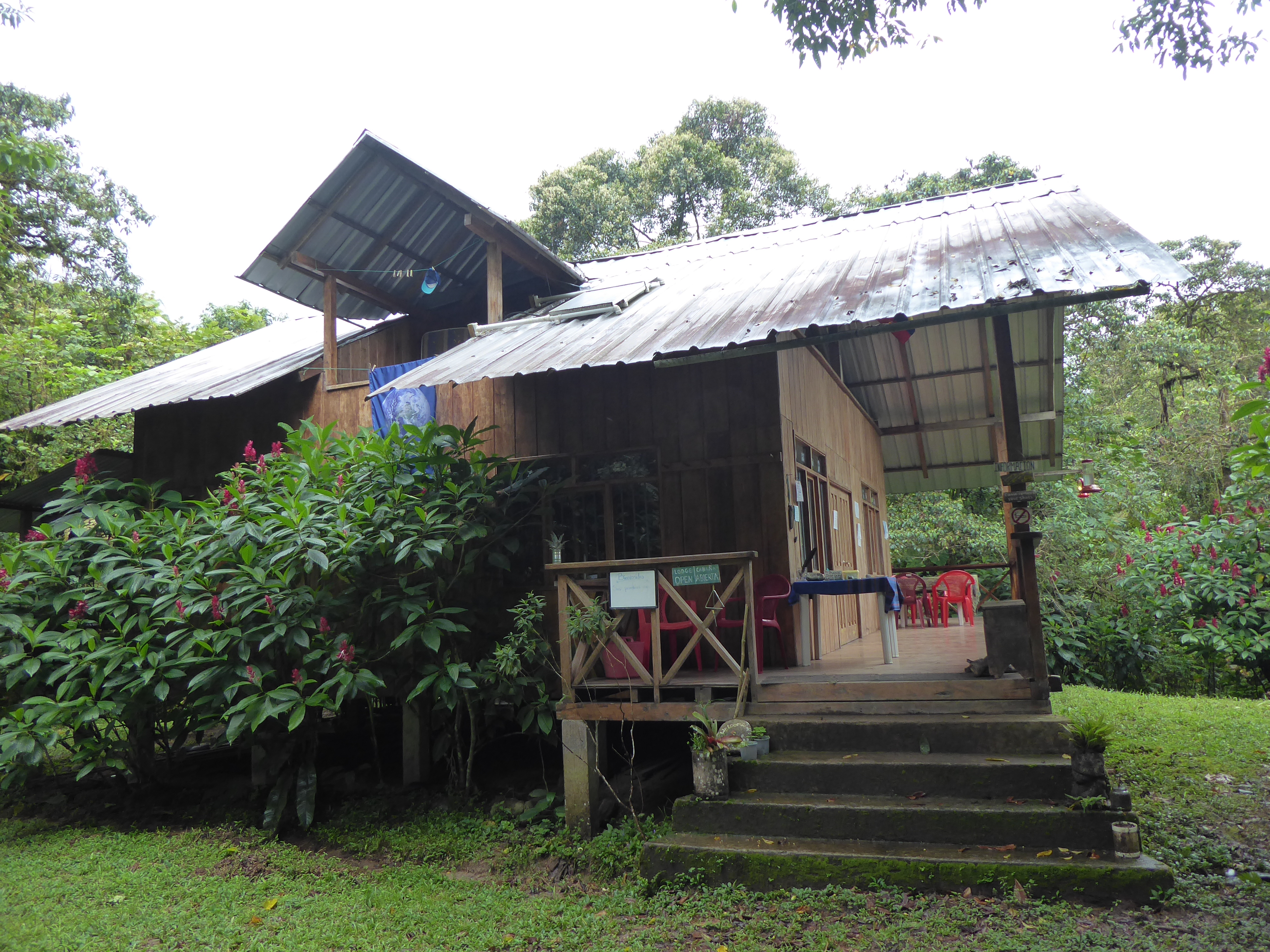
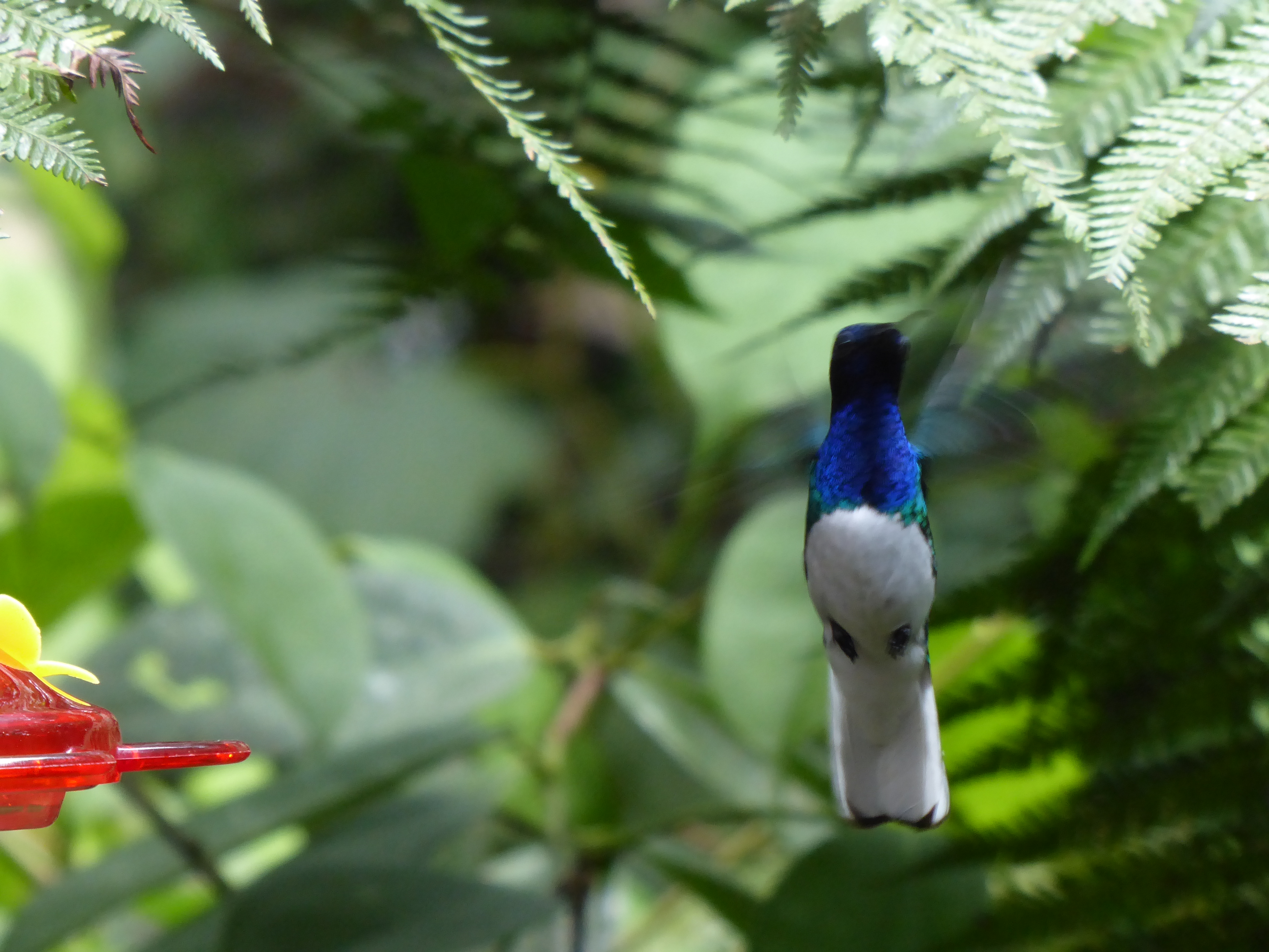
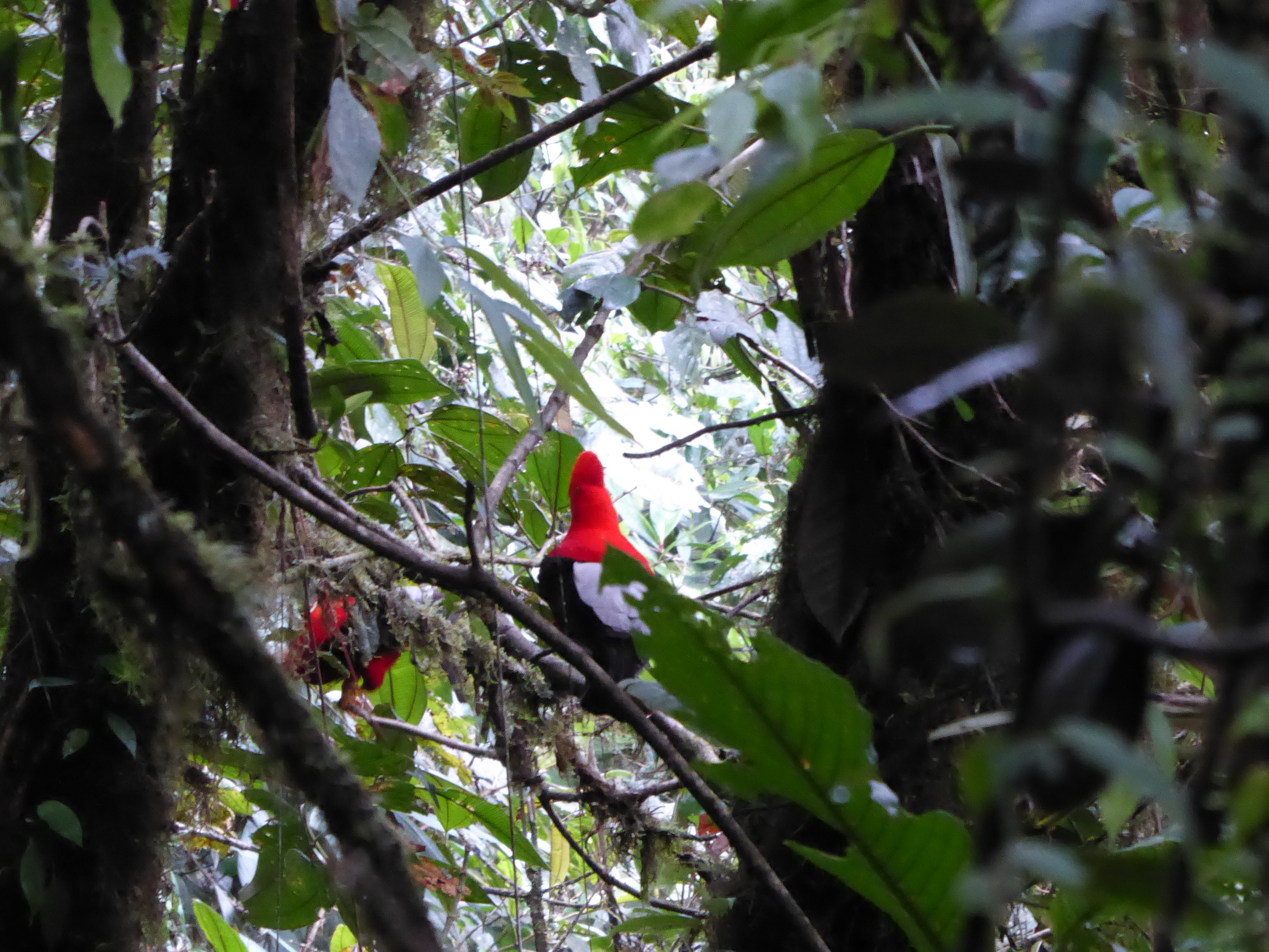
Las Tangaras Reserve attracts dozens of hummingbirds and exotic species in a secluded forest with a roaring river meters away.  I spent three wonderful days there with John and Jaclyn, the extraordinary managers, who insured my stay was perfect. Hours passed quickly as we shared our tales of travel, buried treasure, and our lives. It was thanks to them that I took the picture of the cocks-of-the-rocks in a previous post. We even saw  parrots and an armadillo.

Mindo offered many opportunities to engage with nature: birds, butterflies, orchids, singing frogs, and ravenous noseeums dining on my flesh.
Fortunately the pesky insects did not damper my spirits-too much-and the beauty more than compensated for the discomfort.

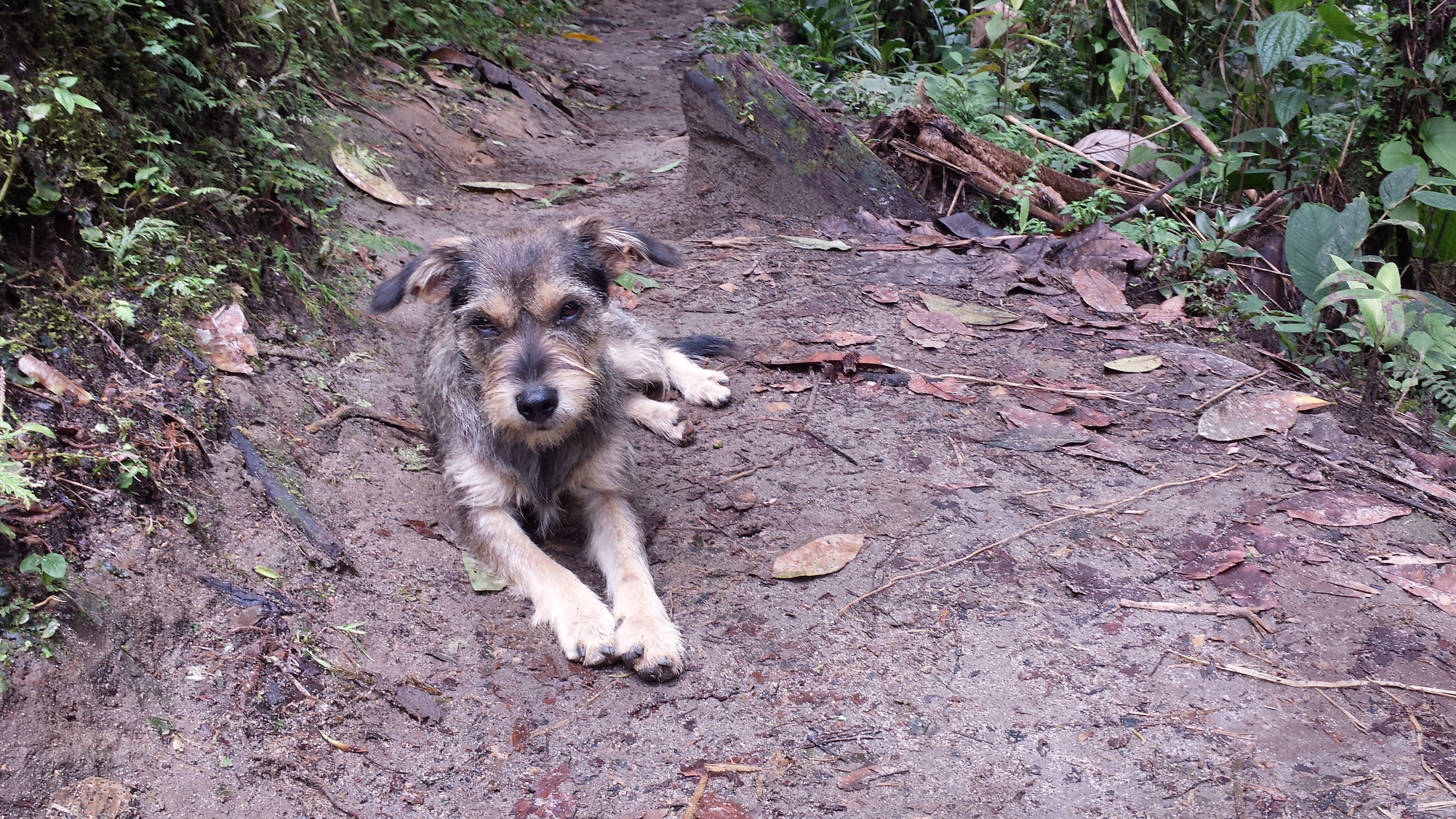
This photo does not do Ruina a.k.a. Milou any justice.

DEAR SUBSCRIBERS

The format of subscriber notification may have changed. If you are receiving an email of a white newsletter with bluehost logo, please click on the title of the post to be directed immediately to the website www.startsolo.org. The format and viewing is better.

Thank you, as always, for your readership!

MINDO: Bird Watching

I had been drawn to Mindo for its array of birds, and since I was seeing nary a one, I was encouraged to hire a professional guide. Thus one morning at 5:20am I set off with Javier (guide) and Cesar (driver) to visit a “lek.” A lek is where male birds, in this case the brilliantly red headed cock-of-the-rocks, gather in the woods to gain the attention of a mate. The females will only come for a quick visit, if at all. Meanwhile the males squawk, preen, compete for a branch, flitter about and make a raucous time of it.

I hadn’t expected to arrive, at this wee hour, amongst a small group of tourists already staked out with enormous cameras and zoom lens perched on hefty tripods in a hunters-like blind, (I had booked a “private” tour). Near dawn is the optimal time to see them.

Behind us our respective guides chatted away as if it was a daily occurrence to be in such a coveted area, but of course for them it was. We arrived in the near dark and could only faintly make out the red heads of these resplendent creatures. Hearing them was no problem. Their calls were incessant–and lacked all melody.

As light came to the thick woods the cock-of-the-rocks were glimpsed in thrilling, fleeting moments. Catching them on film was, even for those with professional equipment, decidedly difficult. (The picture in this post was taken a different day.)

Javier’s talents were impressive and uncanny. (A wicked cold dampened his enthusiasm.) He was able to identify 700 bird calls and imitate 140. When he was ten, his interest had been whet by a visiting Canadian ornithologist offering free workshops.

After an hour or so, the sun now up, we left the lek. Sighting any other birds remained elusive to me. But Javier would whistle, enticing various species, put down his tidy legged telescope and locate a bird with the aim of a sniper. He never missed. I tried repeating his actions-I was lucky to find a tree. He had spent eight hours a day for several months developing his skill and years honing it. The birds in the telescope appeared inches away and were splendid. They came in vibrant shades of blues, reds, yellows, purples and greens with a few brown ones too. Names were told to me and forgotten, there were too many to recall.

After an allotted time at one site we would head to another for a particular species’ sighting. Each tourist would get into a vehicle with their respective guide and driver. There were no more than fifteen of us, but driving, then walking in file, felt like being part of a tourist caravan. Arriving at a site cameras would be set up as if by a string of paparazzi.

Witnessing Javier at work and admiring gorgeous birds- birds I never would have seen without his assistance filled a memorable and worthwhile morning.

Yet I was also happy to visit the woods again under quieter (less human chatter) and less regulated circumstances.

MINDO: A Walk in the Woods

I get asked, “What is it like to be a solo traveler?” Fortunately, when I want company there is rarely an occasion when it is not found.

As I headed to the highly recommended Nambillo waterfalls, a 5km steep walk uphill from Mindo, on a dirt road, I passed several lodges and places offering ziplining and tubing, clearly catering to tourists. There was no one in sight.

The walk up on the rough road was slow going with little to see given the thick foliage. And thus, as usual, with proper timing and chemistry, I met a perfect companion to pass the time.

A small terrier mix was standing by the side of the road. She seemed just as happy to see me as I her. She wore no collar, there was no owner in sight, and from that moment on never left my side during the ascent to the falls. She asked for nothing except frequent petting. I was happy to oblige.

When we got to the entry of the falls, I was greeted by some employees. “That’s our dog “Ruina.” I didn’t tell them that I had already started calling her “Milou” for Tintin’s faithful four-legged companion. She hadn’t minded at all. These men manned the “tarabita” (cable car, that traversed the ravine with a river far below to arrive at the waterfalls.) I asked if I could continue my hike of the falls with “Ruina” (a.ka. “Milou”).

They noted we made a fine pair.

“Milou” and I boarded the tarabita together with one of the men. I was more startled by the speed of this rickety looking transport than she. My companion was clearly an old hand.

The path was often wet, steep, and muddy but the falls were powerful and grand. If I stopped for a moment to take in the view, Milou would sit or stand by my side or lie down fullout for a quick nap only to bound up again when I took a step. And so it went for the next four hours. We walked, we relaxed, we offered each other affection and perfect company.

However, our parting came abruptly. As soon as we got back to the other side of the ravine, Milou’s meal was ready and she dashed off. Our bond only went so far. But we would meet again for another spontaneous meeting for a walk in the woods.

MINDO, Mainland Ecuador

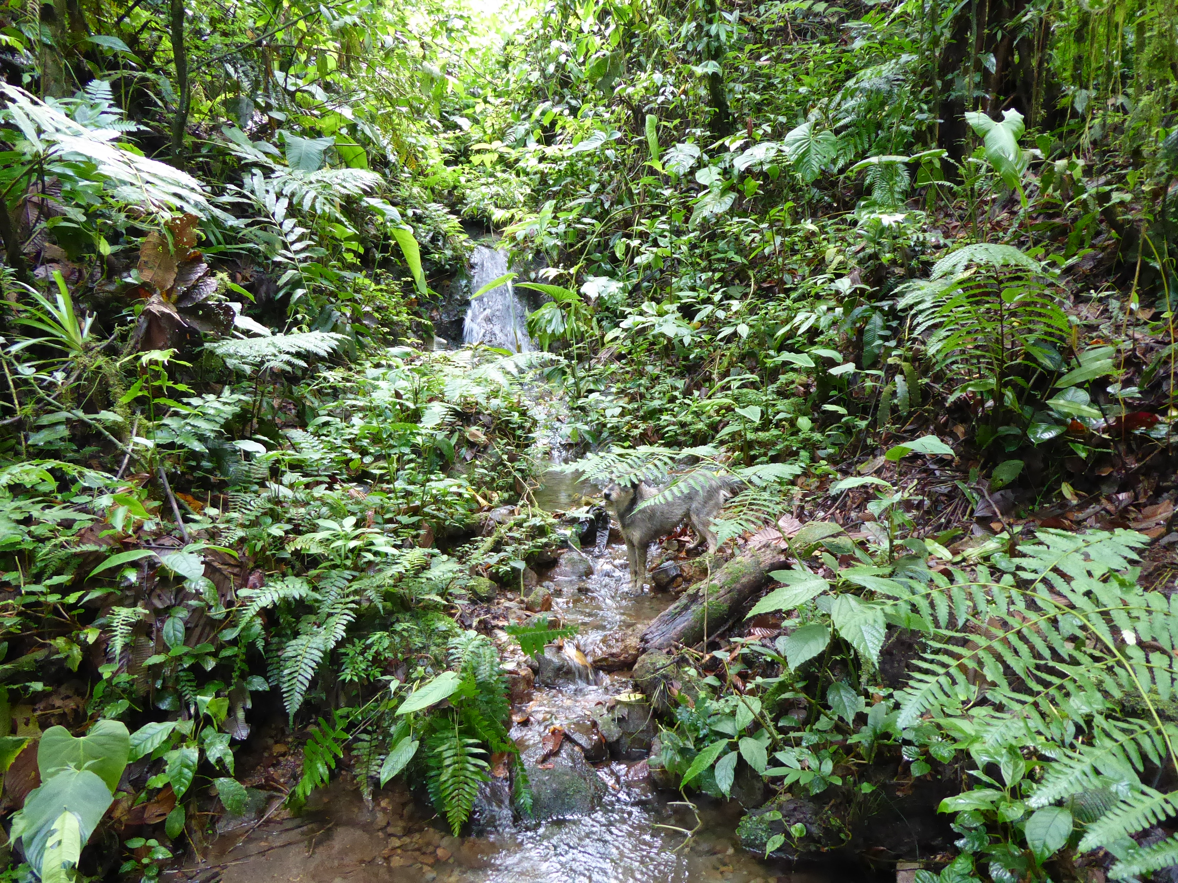
Instead of the familiar ocean’s roar in the Galapagos and scorching heat, I adjusted to a raging river, downpours, chilly mornings and cool nights during my ten days in Mindo. Cloud forest is the perfect name for this region. The frequent rains with a confluence of climate and hilly landscape create robust waterfalls, rivers, and a verdant forest which hosts an extraordinary array of birds, butterflies, and orchids.

I came here for the birds-Mindo is renown for them. Yet I am immediately struck by not seeing any. I hear them singing, chirping, whistling, and making the various sounds that birds do, but they are elusive and I strain to catch a glimpse of any as they swoop or flutter by.

The Galapagos has spoiled me. On the islands birds know no fear and allow a proximity that is, I am quickly reminded, atypical. It will take a walk with a professional guide and binoculars to see these evasive creatures.

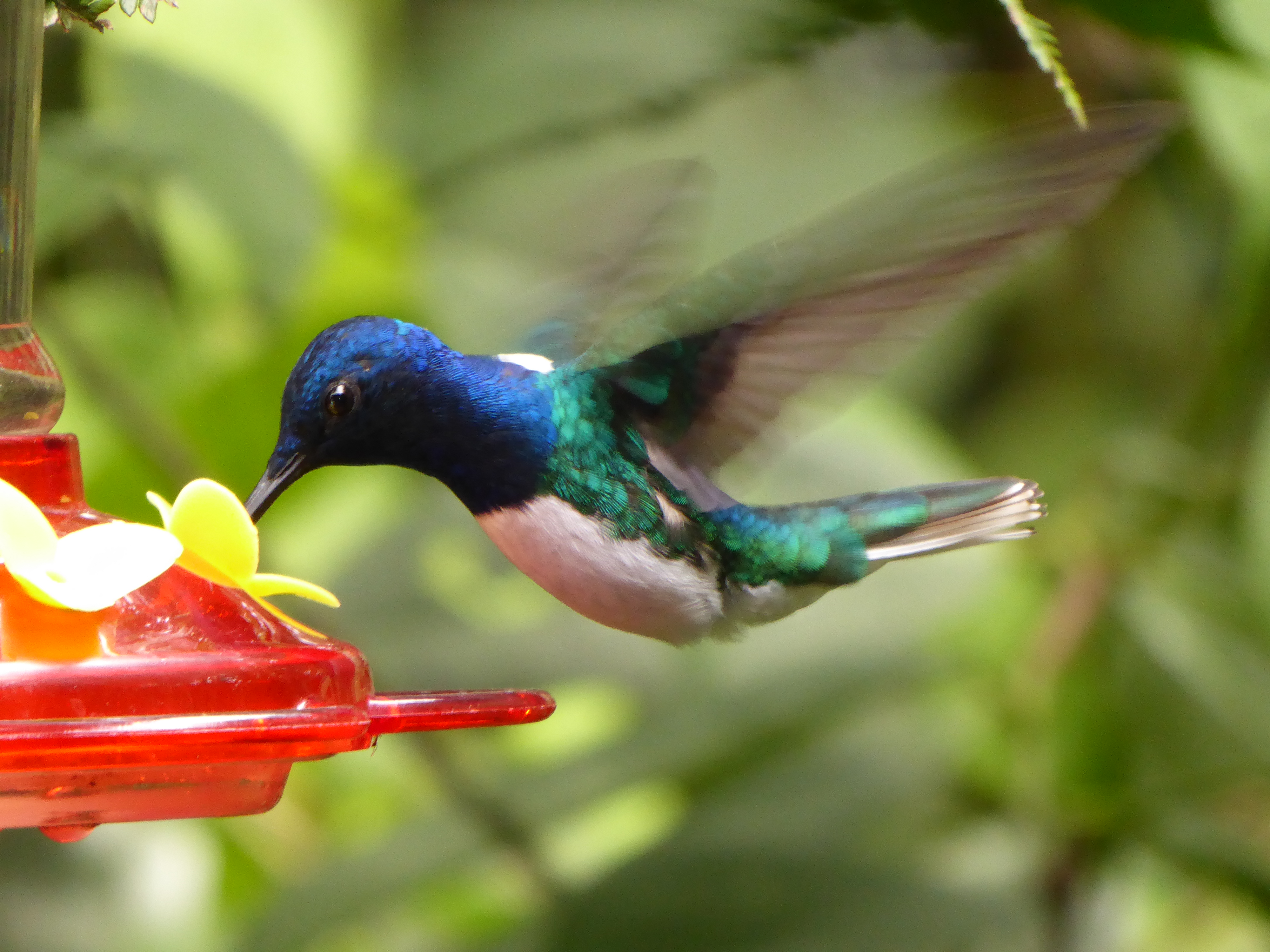
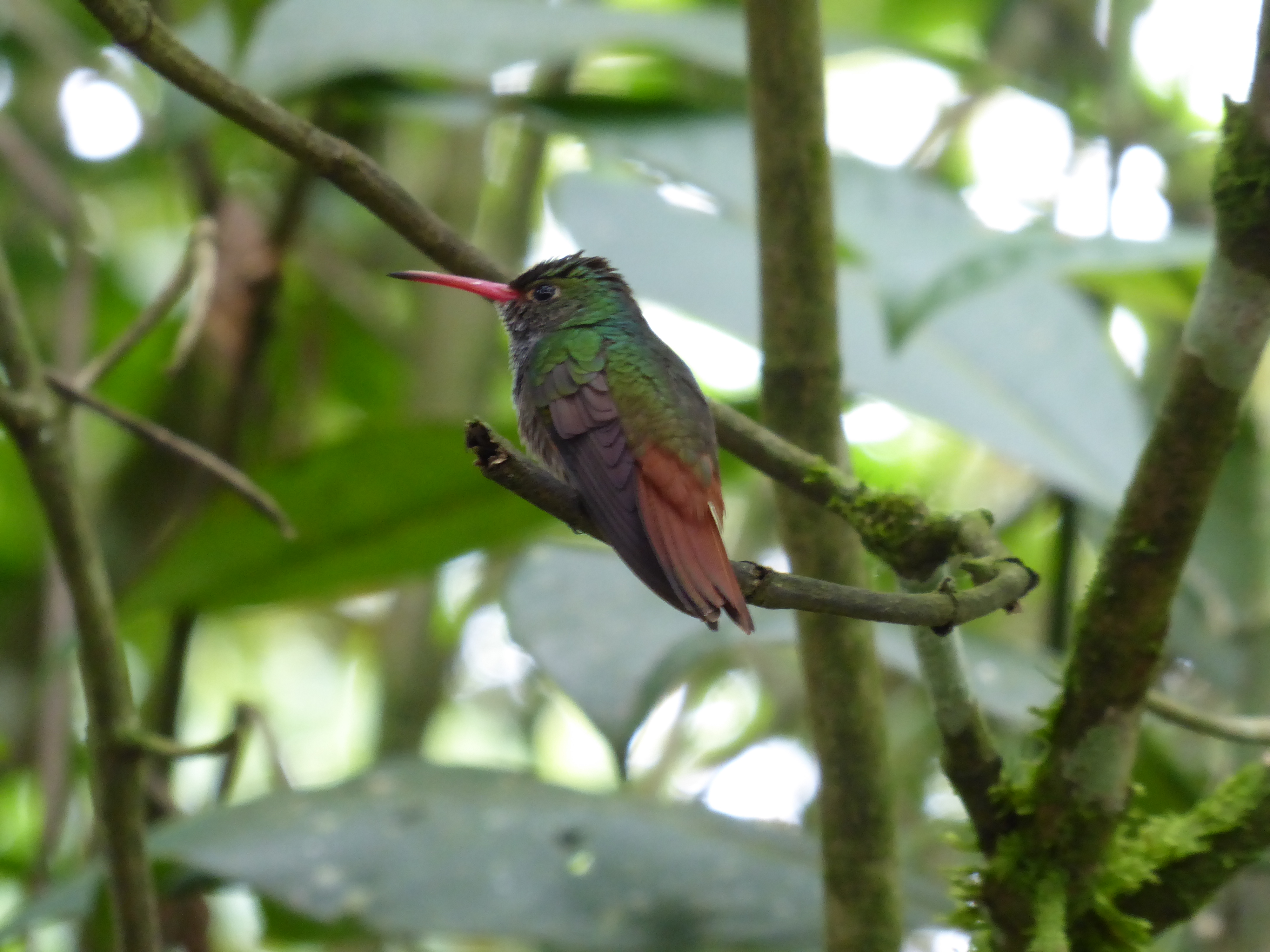
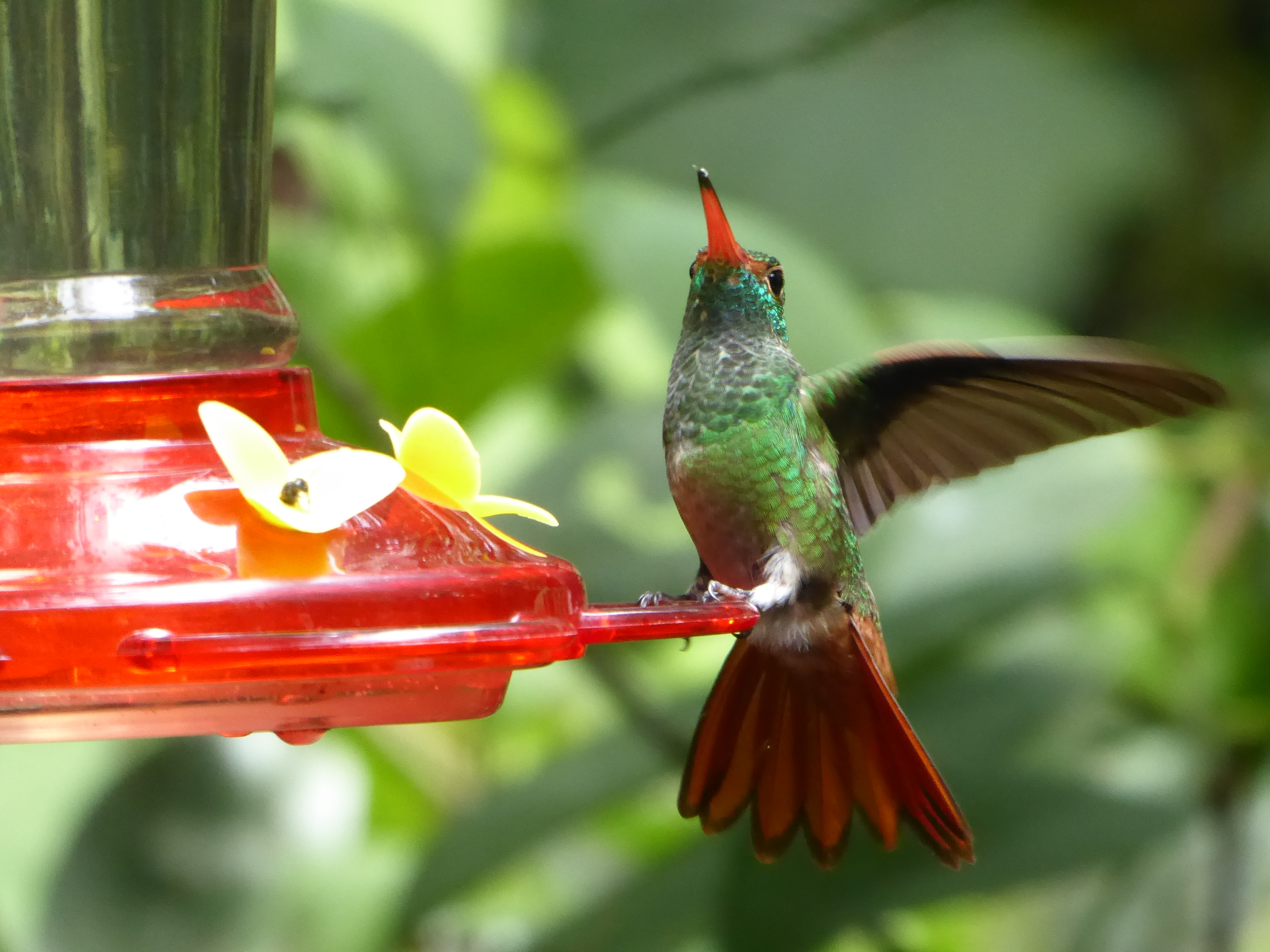
Fortunately hummingbirds are the exception enticed by feeders that adorn most residents’ porches, eaves, and trees.

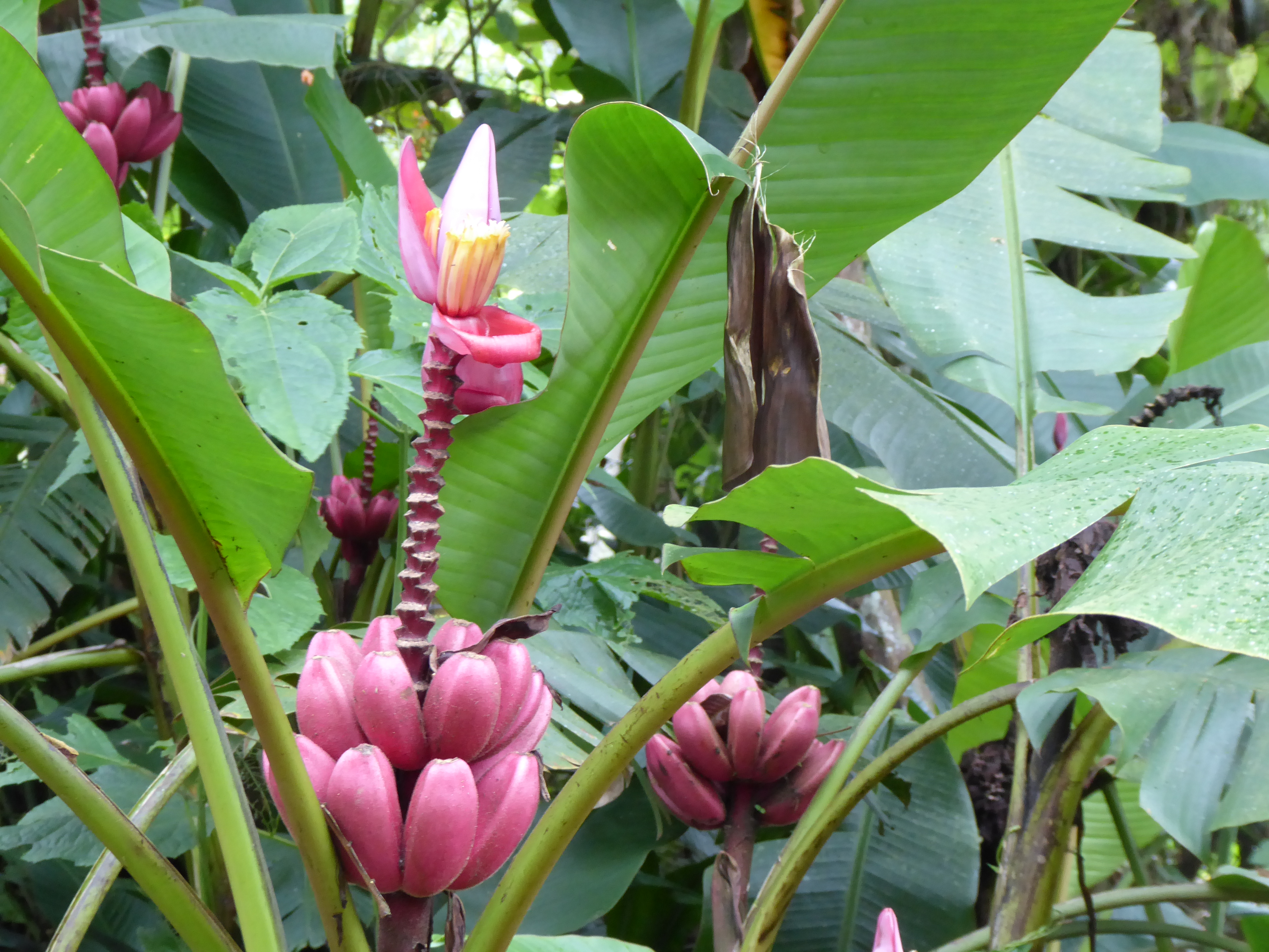
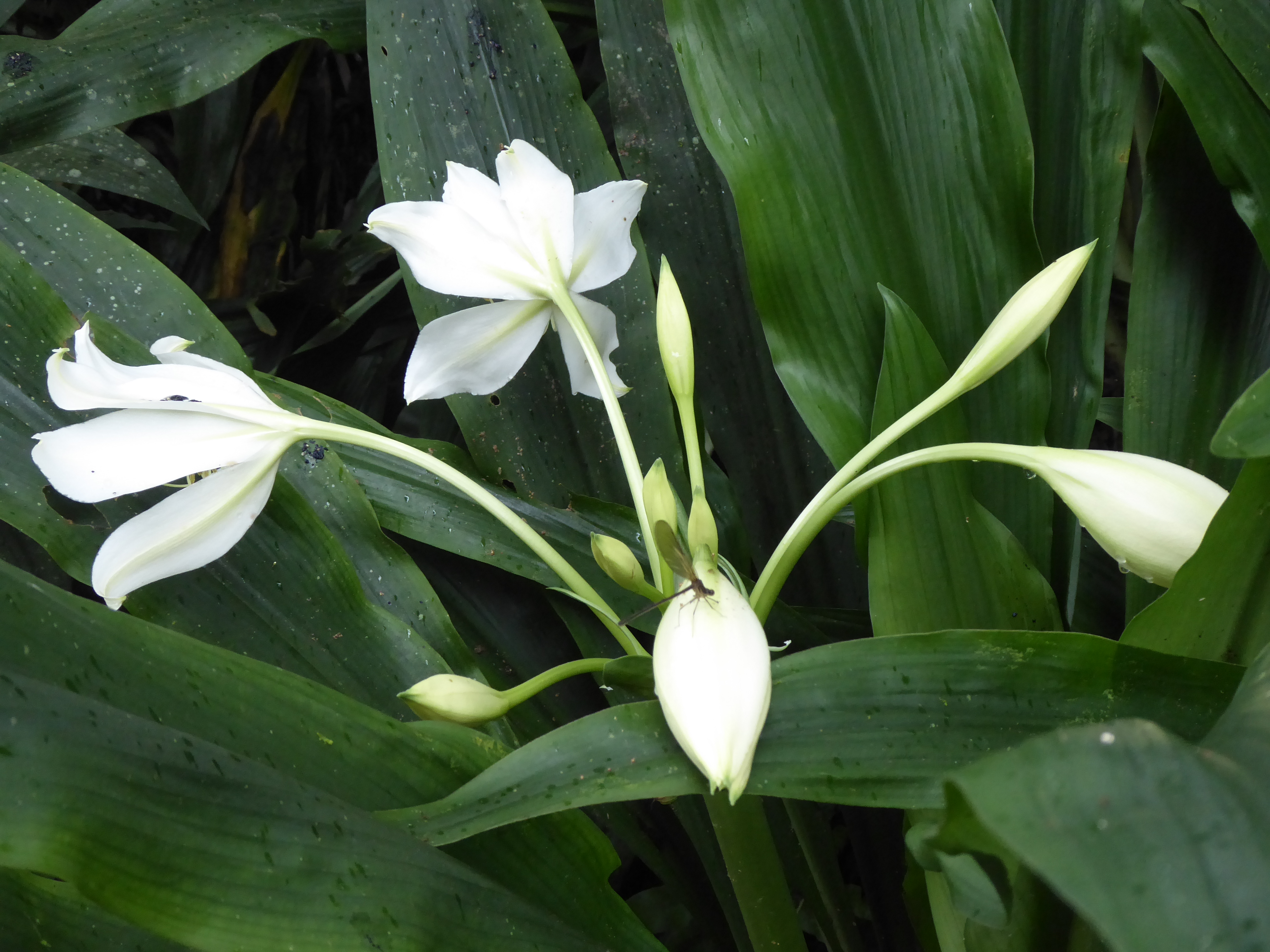
The splendor of butterflies and orchids are abundant in private domains one enters for a fee and in the wild.

My days are spent hiking, birding, meeting locals,foreigners-some passing through others staying on for months or years, and a few outstanding dogs.

My tongue is loosening to the sounds of Spanish.

Mindo is a special place.

To be continued…

LOS GALAPAGOS: Images

It was remarkably easy to take nearly two thousand photographs while in the Galapagos. Beauty abounded at every turn. However slow internet connections make the taking of a photo with my camera, sending it to my phone, then uploading each one to this site extremely time consuming. I hope in the future I will share more and correct some glitches. In the meantime I welcome you to share these moments with me.

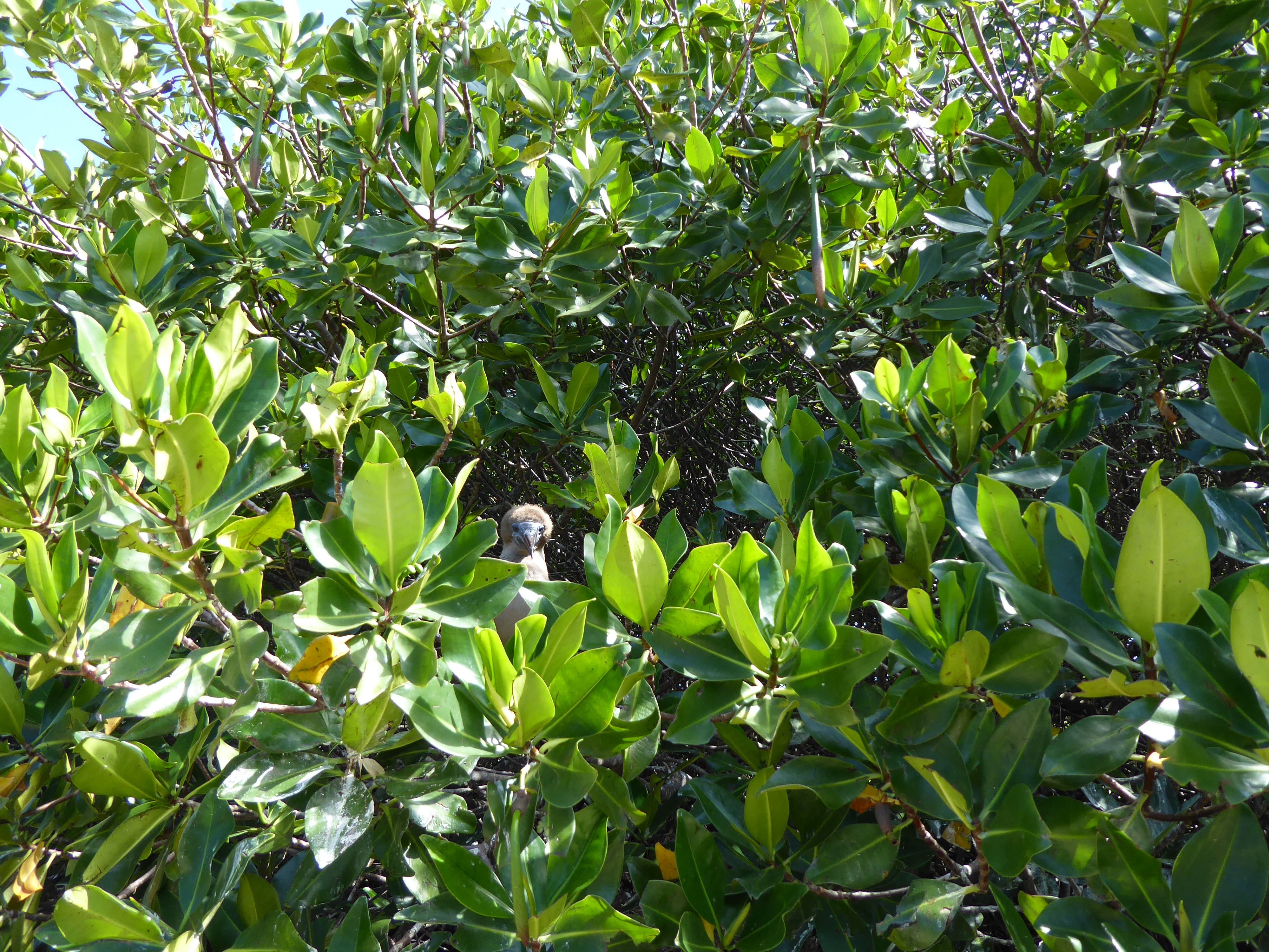
A baby red footed booby

Continue reading LOS GALAPAGOS: Images